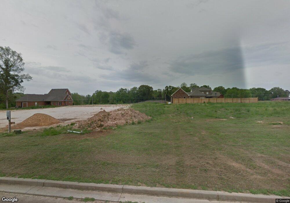
619 Benton Dr Nesbit, MS 38651
Estimated Value: $383,000 - $443,000
4
Beds
--
Bath
3,106
Sq Ft
$134/Sq Ft
Est. Value
About This Home
This home is located at 619 Benton Dr, Nesbit, MS 38651 and is currently estimated at $416,227, approximately $134 per square foot. 619 Benton Dr is a home with nearby schools including Oak Grove Central Elementary School, Hernando Hills Elementary, and Hernando Elementary School.
Ownership History
Date
Name
Owned For
Owner Type
Purchase Details
Closed on
Sep 17, 2018
Sold by
Greco Michael and Greco Amanda
Bought by
Marr Brian M and Marr Alisha M
Current Estimated Value
Home Financials for this Owner
Home Financials are based on the most recent Mortgage that was taken out on this home.
Original Mortgage
$260,000
Outstanding Balance
$225,329
Interest Rate
4.5%
Mortgage Type
New Conventional
Estimated Equity
$190,898
Purchase Details
Closed on
Jun 27, 2014
Sold by
First Security Bank
Bought by
Mtr Properties Llc
Home Financials for this Owner
Home Financials are based on the most recent Mortgage that was taken out on this home.
Original Mortgage
$213,043
Interest Rate
4.19%
Mortgage Type
Construction
Create a Home Valuation Report for This Property
The Home Valuation Report is an in-depth analysis detailing your home's value as well as a comparison with similar homes in the area
Home Values in the Area
Average Home Value in this Area
Purchase History
| Date | Buyer | Sale Price | Title Company |
|---|---|---|---|
| Marr Brian M | -- | Fnf Title Services Llc | |
| Mtr Properties Llc | -- | None Available |
Source: Public Records
Mortgage History
| Date | Status | Borrower | Loan Amount |
|---|---|---|---|
| Open | Marr Brian M | $260,000 | |
| Previous Owner | Mtr Properties Llc | $213,043 |
Source: Public Records
Tax History Compared to Growth
Tax History
| Year | Tax Paid | Tax Assessment Tax Assessment Total Assessment is a certain percentage of the fair market value that is determined by local assessors to be the total taxable value of land and additions on the property. | Land | Improvement |
|---|---|---|---|---|
| 2025 | $3,685 | $34,205 | $4,000 | $30,205 |
| 2024 | $3,168 | $24,993 | $4,000 | $20,993 |
| 2023 | $3,168 | $24,993 | $0 | $0 |
| 2022 | $3,168 | $24,993 | $4,000 | $20,993 |
| 2021 | $3,168 | $24,993 | $4,000 | $20,993 |
| 2020 | $2,935 | $23,315 | $4,000 | $19,315 |
| 2019 | $2,935 | $23,315 | $4,000 | $19,315 |
| 2017 | $2,877 | $41,560 | $22,780 | $18,780 |
| 2016 | $2,744 | $4,500 | $4,500 | $0 |
| 2015 | $601 | $4,500 | $4,500 | $0 |
| 2014 | $587 | $4,500 | $0 | $0 |
| 2013 | $587 | $4,500 | $0 | $0 |
Source: Public Records
Map
Nearby Homes
- 552 Benton Dr
- 1734 Winningham Dr
- 1738 Winningham Dr
- 1781 Benton Dr
- 001 S Old Hwy 51
- 555 Emma Cove
- 0 Highway 51 Unit 2319030
- 915 Collie Dr
- 885 Collie Dr
- 1620 Gwynn Rd
- 894 Collie Dr
- 932 Collie Dr
- 00 S Old Hwy 51
- 944 Collie Dr
- 0 Old Highway 51 N Unit 4070480
- 956 Collie Dr
- 896 Andys Way
- 1009 Collie Dr
- 834 Rodeo Way
- 1287 Dogwood Hollow Dr
- 605 Benton Dr
- 635 Benton Dr
- 619 Benton Dr
- 612 Breckenridge Dr
- 587 Benton Dr
- 630 Breckenridge Dr
- 647 Benton Dr
- 620 Benton Dr
- 648 Breckenridge Dr
- 648 Breckenridge Dr
- 594 Breckenridge Dr
- 598 Benton Dr
- 582 Benton
- 657 Benton Dr
- 573 Benton Dr
- 647 Benton
- 634 Benton Dr
- 582 Benton Dr
- 634 Benton Dr
- 576 Breckenridge Dr
