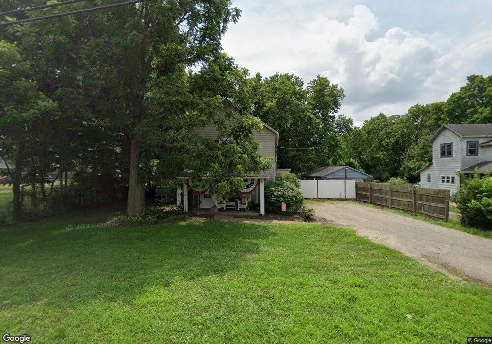
619 Central Ave Franklin, OH 45005
Estimated Value: $117,000 - $205,000
2
Beds
1
Bath
1,165
Sq Ft
$129/Sq Ft
Est. Value
About This Home
This home is located at 619 Central Ave, Franklin, OH 45005 and is currently estimated at $150,136, approximately $128 per square foot. 619 Central Ave is a home located in Warren County with nearby schools including Alden R Brown Elementary School, Chamberlain Middle School, and Carlisle High School.
Ownership History
Date
Name
Owned For
Owner Type
Purchase Details
Closed on
Feb 11, 2017
Sold by
Silverhart Rental Property Llc
Bought by
Campbell Henderson Shelley J and Campbell Henderson Chase
Current Estimated Value
Purchase Details
Closed on
May 30, 2003
Sold by
Henderson Stephen L and Henderson Shelley J
Bought by
Silverhart Rental Property Llc
Purchase Details
Closed on
Oct 30, 1990
Sold by
Campbell Campbell and Campbell Robert L
Bought by
Henderson Henderson and Henderson Stephen L
Purchase Details
Closed on
Jul 23, 1990
Sold by
Homer Miller and Homer O.
Bought by
Campbell Campbell and Campbell Robert L
Create a Home Valuation Report for This Property
The Home Valuation Report is an in-depth analysis detailing your home's value as well as a comparison with similar homes in the area
Home Values in the Area
Average Home Value in this Area
Purchase History
| Date | Buyer | Sale Price | Title Company |
|---|---|---|---|
| Campbell Henderson Shelley J | -- | None Available | |
| Silverhart Rental Property Llc | -- | Southwestern Ohio Title | |
| Henderson Henderson | $28,000 | -- | |
| Campbell Campbell | $25,500 | -- |
Source: Public Records
Tax History
| Year | Tax Paid | Tax Assessment Tax Assessment Total Assessment is a certain percentage of the fair market value that is determined by local assessors to be the total taxable value of land and additions on the property. | Land | Improvement |
|---|---|---|---|---|
| 2025 | $1,199 | $31,280 | $13,040 | $18,240 |
| 2024 | $1,199 | $31,280 | $13,040 | $18,240 |
| 2023 | $1,025 | $24,178 | $8,022 | $16,156 |
| 2022 | $1,019 | $24,178 | $8,022 | $16,156 |
| 2021 | $1,006 | $24,178 | $8,022 | $16,156 |
| 2020 | $937 | $19,656 | $6,521 | $13,136 |
| 2019 | $951 | $19,656 | $6,521 | $13,136 |
| 2018 | $940 | $19,656 | $6,521 | $13,136 |
| 2017 | $967 | $18,428 | $6,195 | $12,233 |
| 2016 | $848 | $18,428 | $6,195 | $12,233 |
| 2015 | $596 | $18,428 | $6,195 | $12,233 |
| 2014 | $855 | $18,430 | $6,200 | $12,230 |
| 2013 | $842 | $19,400 | $6,520 | $12,880 |
Source: Public Records
Map
Nearby Homes
- 571 Elm Dr
- 220 Auburn Meadows Ct
- 533 Clay St
- 650 Beachler Dr
- 163 Wolf Creek Ct
- 1223 Waterbury Dr
- 1215 Waterbury Dr
- 1221 Waterbury Dr
- 120 Cousins Dr
- 90 Timber Creek Dr
- 5711 Fairview Dr
- 121 Mound Builder Place
- 533 Spring Ave
- 616 Lake Ave
- 712 Abney Ln
- 1909 Cleopatra Dr
- 114 Fairview Dr
- 146 Montgomery Ave
- 511 Forest Ave
- 509 Forest Ave
- 625 Central Ave
- 607 Central Ave
- 614 Central Ave
- 601 Central Ave
- 620 Central Ave
- 428 Lincoln Dr
- 579 Central Ave
- 626 Central Ave
- 424 Lincoln Dr
- 572 Central Ave
- 420 Lincoln Dr
- 460 Elm Dr
- 55 Industry Dr
- 200 Industry Dr
- 200 Industry Dr Unit 1
- 416 Lincoln Dr
- 521 Elm Dr
- 413 Lincoln Dr
- 470 Elm Dr
- 531 Elm Dr
Your Personal Tour Guide
Ask me questions while you tour the home.