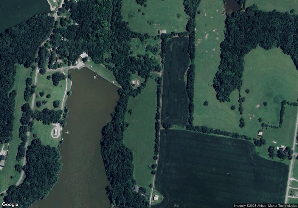
619 Denning Ford Rd Portland, TN 37148
Estimated Value: $312,000
--
Bed
--
Bath
1,668
Sq Ft
$187/Sq Ft
Est. Value
About This Home
This home is located at 619 Denning Ford Rd, Portland, TN 37148 and is currently priced at $312,000, approximately $187 per square foot. 619 Denning Ford Rd is a home located in Sumner County with nearby schools including Watt Hardison Elementary School, Portland West Middle School, and Portland High School.
Ownership History
Date
Name
Owned For
Owner Type
Purchase Details
Closed on
Nov 2, 2023
Sold by
Lindsey James R and Lindsey Mary Beth
Bought by
City/Portland Housing Bureau
Current Estimated Value
Purchase Details
Closed on
Mar 17, 2022
Sold by
Beth Lindsey Mary
Bought by
Lindsey Mary Beth and Lindsey James R
Purchase Details
Closed on
Apr 26, 2017
Sold by
Lindsey James R and Ellis Vicki Lindsey
Bought by
Lindsey James R
Purchase Details
Closed on
Apr 9, 2012
Sold by
Ellis Vicki B and Lindsey William H
Bought by
Lindsey Russell B
Create a Home Valuation Report for This Property
The Home Valuation Report is an in-depth analysis detailing your home's value as well as a comparison with similar homes in the area
Home Values in the Area
Average Home Value in this Area
Purchase History
| Date | Buyer | Sale Price | Title Company |
|---|---|---|---|
| City/Portland Housing Bureau | -- | None Listed On Document | |
| City/Portland Housing Bureau | -- | None Listed On Document | |
| Lindsey Mary Beth | -- | Kelly & Smith | |
| Lindsey James R | -- | None Available | |
| Lindsey Russell B | -- | Benchmark Title Company |
Source: Public Records
Tax History Compared to Growth
Tax History
| Year | Tax Paid | Tax Assessment Tax Assessment Total Assessment is a certain percentage of the fair market value that is determined by local assessors to be the total taxable value of land and additions on the property. | Land | Improvement |
|---|---|---|---|---|
| 2024 | $739 | $51,975 | $51,125 | $850 |
| 2023 | $1,071 | $47,575 | $39,475 | $8,100 |
| 2022 | $1,076 | $47,575 | $39,475 | $8,100 |
| 2021 | $1,076 | $47,575 | $39,475 | $8,100 |
| 2020 | $1,076 | $47,575 | $39,475 | $8,100 |
| 2019 | $1,076 | $0 | $0 | $0 |
| 2018 | $902 | $0 | $0 | $0 |
| 2017 | $1,381 | $0 | $0 | $0 |
| 2016 | $1,381 | $0 | $0 | $0 |
| 2015 | -- | $0 | $0 | $0 |
| 2014 | -- | $0 | $0 | $0 |
Source: Public Records
Map
Nearby Homes
- 121 Lindsey Kyla Ct
- 421 Cloudland Dr
- 425 Cloudland Dr
- HARTSVILLE Plan at Parkside Point
- DEVON Plan at Parkside Point
- GREENBRIAR Plan at Parkside Point
- 420 Cloudland Dr
- 605 Cloudland Dr
- 609 Cloudland Dr
- 509 Cloudland Dr
- 601 Cloudland Dr
- 501 Cloudland Dr
- 103 Alice Smith Dr
- 746 N Russell St
- 260 Ranch Rd
- 238 Westland St
- 0 N Leath Rd
- 102 Nashay Ct
- 223 Westland St
- 101 Jasmine Way
- 619 Denning Ford Rd
- 818 Denning Ford Rd
- 618 Denning Ford Rd
- 612 Denning Ford Rd
- 608 Denning Ford Rd
- 624 Denning Ford Rd
- 620 Denning Ford Rd
- 636 Denning Ford Rd
- 696 Ranch Rd
- 616 Denning Ford Rd
- 680 Ranch Rd
- 670 Ranch Rd
- 101 Overlook Ct
- 103 Overlook Ct
- 646 Denning Ford Rd
- 100 Overlook Ct
- 107 Overlook Ct
- 104 Overlook Ct
- 102 Overlook Ct
- 109 Overlook Ct
