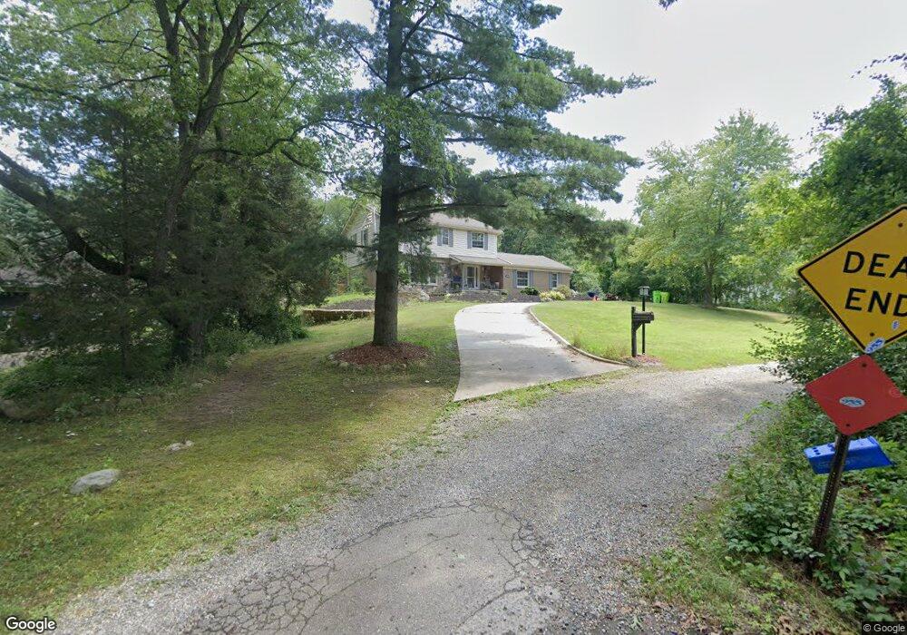
619 Mill St Milford, MI 48381
Estimated Value: $512,483 - $694,000
5
Beds
3
Baths
1,882
Sq Ft
$322/Sq Ft
Est. Value
About This Home
This home is located at 619 Mill St, Milford, MI 48381 and is currently estimated at $606,371, approximately $322 per square foot. 619 Mill St is a home located in Oakland County with nearby schools including Johnson Elementary School, Muir Middle School, and Christ Lutheran Christian Day School.
Ownership History
Date
Name
Owned For
Owner Type
Purchase Details
Closed on
Apr 18, 2016
Sold by
Noesen Scott D and Noesen Marji
Bought by
Devivo John
Current Estimated Value
Purchase Details
Closed on
Jun 22, 2011
Sold by
Veit Norbert J and Veit Cathleen M
Bought by
Noesen Scott D
Purchase Details
Closed on
Dec 6, 2000
Sold by
Dooge Carol
Bought by
Carol Dooge Tr
Purchase Details
Closed on
Oct 30, 2000
Sold by
Yee Kevin G
Bought by
Dooge Carol
Purchase Details
Closed on
Jun 4, 1999
Sold by
Mill Pond Preserve Ltd
Bought by
Yee Kevin G
Create a Home Valuation Report for This Property
The Home Valuation Report is an in-depth analysis detailing your home's value as well as a comparison with similar homes in the area
Home Values in the Area
Average Home Value in this Area
Purchase History
| Date | Buyer | Sale Price | Title Company |
|---|---|---|---|
| Devivo John | $157,541 | None Available | |
| Noesen Scott D | $190,000 | Capital Title Ins Agency | |
| Carol Dooge Tr | -- | -- | |
| Dooge Carol | $210,000 | -- | |
| Yee Kevin G | $184,900 | -- |
Source: Public Records
Mortgage History
| Date | Status | Borrower | Loan Amount |
|---|---|---|---|
| Closed | Yee Kevin G | -- |
Source: Public Records
Tax History
| Year | Tax Paid | Tax Assessment Tax Assessment Total Assessment is a certain percentage of the fair market value that is determined by local assessors to be the total taxable value of land and additions on the property. | Land | Improvement |
|---|---|---|---|---|
| 2025 | $7,437 | $265,710 | $0 | $0 |
| 2024 | $6,484 | $249,330 | $0 | $0 |
| 2023 | $6,208 | $231,650 | $0 | $0 |
| 2022 | $8,210 | $217,510 | $0 | $0 |
| 2021 | $4,402 | $200,500 | $0 | $0 |
| 2020 | $5,488 | $192,430 | $0 | $0 |
| 2019 | $5,550 | $184,920 | $0 | $0 |
| 2018 | $5,477 | $168,330 | $0 | $0 |
| 2017 | $2,922 | $168,330 | $0 | $0 |
| 2016 | $6,686 | $156,660 | $0 | $0 |
| 2015 | -- | $150,270 | $0 | $0 |
| 2014 | -- | $129,560 | $0 | $0 |
| 2011 | -- | $107,950 | $0 | $0 |
Source: Public Records
Map
Nearby Homes
- 710 Bellevue
- 312 Dorchester Way
- 321 Dean St
- 110 Oakland St
- 524 W Huron St
- 1088 Eagle Nest Dr
- 564 Dorchester Way Unit 16
- 007 S Milford Rd
- 778 S Milford Rd Unit 37
- 738 S Milford Rd Unit 30
- 906 Meadowbrook Way
- 301 River Wood Trail
- 114 River Dr Unit A
- 144 River Dr Unit D
- 130 River Dr Unit ABD
- 124 River Dr Unit B
- 120 E Liberty St Unit 304
- 120 E Liberty St Unit 303
- 120 E Liberty St Unit 207
- 120 E Liberty St Unit 206
Your Personal Tour Guide
Ask me questions while you tour the home.