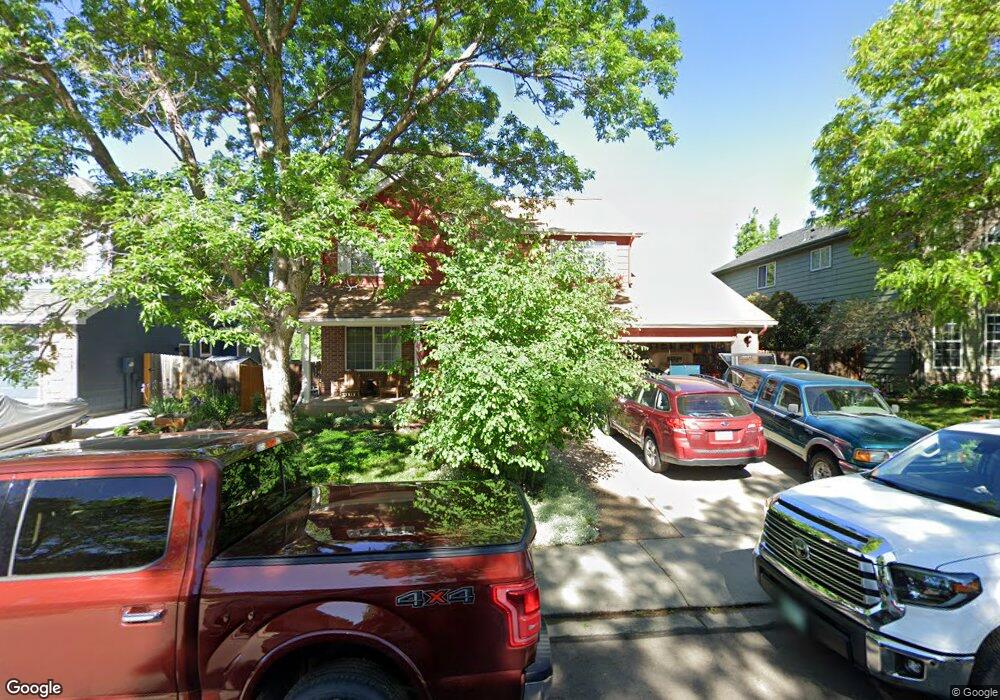
619 Silver Star Ct Longmont, CO 80504
Kensington NeighborhoodEstimated Value: $590,598 - $637,000
3
Beds
3
Baths
2,028
Sq Ft
$301/Sq Ft
Est. Value
About This Home
This home is located at 619 Silver Star Ct, Longmont, CO 80504 and is currently estimated at $610,900, approximately $301 per square foot. 619 Silver Star Ct is a home located in Boulder County with nearby schools including Rocky Mountain Elementary School, Trail Ridge Middle School, and Skyline High School.
Ownership History
Date
Name
Owned For
Owner Type
Purchase Details
Closed on
Jul 11, 2016
Sold by
Dodds William and Dodds Cheryl
Bought by
Dodds William
Current Estimated Value
Purchase Details
Closed on
Apr 30, 1996
Sold by
Centex Real Estate Corp
Bought by
Dodds William
Home Financials for this Owner
Home Financials are based on the most recent Mortgage that was taken out on this home.
Original Mortgage
$65,000
Interest Rate
7.8%
Create a Home Valuation Report for This Property
The Home Valuation Report is an in-depth analysis detailing your home's value as well as a comparison with similar homes in the area
Home Values in the Area
Average Home Value in this Area
Purchase History
| Date | Buyer | Sale Price | Title Company |
|---|---|---|---|
| Dodds William | -- | None Available | |
| Dodds William | -- | None Available | |
| Dodds William | $182,306 | First American Heritage Titl |
Source: Public Records
Mortgage History
| Date | Status | Borrower | Loan Amount |
|---|---|---|---|
| Previous Owner | Dodds William | $65,000 |
Source: Public Records
Tax History
| Year | Tax Paid | Tax Assessment Tax Assessment Total Assessment is a certain percentage of the fair market value that is determined by local assessors to be the total taxable value of land and additions on the property. | Land | Improvement |
|---|---|---|---|---|
| 2025 | $2,987 | $38,250 | $10,075 | $28,175 |
| 2024 | $2,987 | $38,250 | $10,075 | $28,175 |
| 2023 | $2,946 | $37,929 | $11,055 | $30,559 |
| 2022 | $2,373 | $30,928 | $7,784 | $23,144 |
| 2021 | $2,404 | $31,818 | $8,008 | $23,810 |
| 2020 | $2,014 | $27,885 | $7,007 | $20,878 |
| 2019 | $1,982 | $27,885 | $7,007 | $20,878 |
| 2018 | $1,927 | $27,482 | $5,256 | $22,226 |
| 2017 | $1,900 | $30,384 | $5,811 | $24,573 |
| 2016 | $1,669 | $25,416 | $7,562 | $17,854 |
| 2015 | $1,590 | $21,213 | $4,696 | $16,517 |
| 2014 | $1,238 | $21,213 | $4,696 | $16,517 |
Source: Public Records
Map
Nearby Homes
- 631 Rider Ridge Rd
- 524 Rider Ridge Dr
- 613 Rider Ridge Dr
- 820 Brookside Dr
- 902 Sugar Mill Ave
- 727 Hubbard Dr
- 1267 E 9th Ave
- 737 Goss Dr
- 815 Hilltop St
- 12027 Saint Vrain Rd
- 262 E 5th Ave
- 244 Sorento Place
- 1245 Trail Ridge Rd
- 225 E 8th Ave Unit E20
- 225 E 8th Ave Unit F2
- 225 E 8th Ave Unit C14
- 500 Lashley St Unit 48
- 240 Wadsworth Cir
- 1337 Trail Ridge Rd
- 140 E 5th Ave
- 625 Silver Star Ct
- 613 Silver Star Ct
- 722 Rider Ridge Place
- 607 Silver Star Ct
- 631 Silver Star Ct
- 717 Rider Ridge Place
- 716 Rider Ridge Place
- 612 Silver Star Ct
- 624 Silver Star Ct
- 601 Silver Star Ct
- 606 Silver Star Ct
- 728 Rocky Mountain Place
- 845 Pendleton Ave
- 630 Silver Star Ct
- 839 Pendleton Ave
- 711 Rider Ridge Place
- 722 Rocky Mountain Place
- 710 Rider Ridge Place
- 719 Pendleton Ave
- 600 Silver Star Ct
Your Personal Tour Guide
Ask me questions while you tour the home.