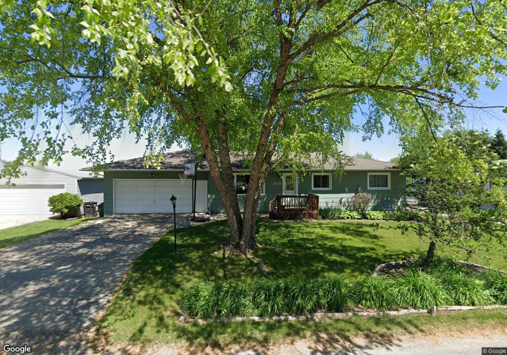
619 Stanley St Cedar Falls, IA 50613
Estimated Value: $250,000 - $277,000
2
Beds
2
Baths
1,092
Sq Ft
$242/Sq Ft
Est. Value
About This Home
This home is located at 619 Stanley St, Cedar Falls, IA 50613 and is currently estimated at $264,380, approximately $242 per square foot. 619 Stanley St is a home located in Black Hawk County with nearby schools including Helen A. Hansen Elementary School, Holmes Junior High School, and Cedar Falls High School.
Ownership History
Date
Name
Owned For
Owner Type
Purchase Details
Closed on
Dec 1, 2009
Sold by
Barry James M and Barry Jenifer K
Bought by
Gilroy Scott Z and Gilroy Heather L
Current Estimated Value
Home Financials for this Owner
Home Financials are based on the most recent Mortgage that was taken out on this home.
Original Mortgage
$153,500
Outstanding Balance
$100,890
Interest Rate
5.05%
Mortgage Type
New Conventional
Estimated Equity
$163,491
Create a Home Valuation Report for This Property
The Home Valuation Report is an in-depth analysis detailing your home's value as well as a comparison with similar homes in the area
Home Values in the Area
Average Home Value in this Area
Purchase History
| Date | Buyer | Sale Price | Title Company |
|---|---|---|---|
| Gilroy Scott Z | $167,000 | Title Services |
Source: Public Records
Mortgage History
| Date | Status | Borrower | Loan Amount |
|---|---|---|---|
| Open | Gilroy Scott Z | $153,500 |
Source: Public Records
Tax History Compared to Growth
Tax History
| Year | Tax Paid | Tax Assessment Tax Assessment Total Assessment is a certain percentage of the fair market value that is determined by local assessors to be the total taxable value of land and additions on the property. | Land | Improvement |
|---|---|---|---|---|
| 2024 | $3,170 | $207,190 | $24,480 | $182,710 |
| 2023 | $2,596 | $207,190 | $24,480 | $182,710 |
| 2022 | $2,626 | $149,550 | $24,480 | $125,070 |
| 2021 | $2,472 | $149,550 | $24,480 | $125,070 |
| 2020 | $2,420 | $141,390 | $16,320 | $125,070 |
| 2019 | $2,420 | $141,390 | $16,320 | $125,070 |
| 2018 | $2,452 | $141,390 | $16,320 | $125,070 |
| 2017 | $2,396 | $141,390 | $16,320 | $125,070 |
| 2016 | $2,240 | $135,430 | $16,320 | $119,110 |
| 2015 | $2,240 | $135,430 | $16,320 | $119,110 |
| 2014 | $2,266 | $135,430 | $16,320 | $119,110 |
Source: Public Records
Map
Nearby Homes
- 1025 Lakeshore Dr
- 4416 Wynnewood Dr
- 4032 Wynnewood Dr
- 3603 Apollo St
- 3702 Apollo St
- 3413 Pheasant Dr
- 2725 Northview Ln
- 1021 Lake Ridge Dr
- 4123 Berry Hill Rd
- 4306 Berry Hill Rd
- 2906 W 3rd St
- 4329 Berry Hill Rd
- 4128 Shocker Rd
- 2912 W 4th St
- 4209 Thresher Ct
- 0 W 1st St
- 4124 Thresher Ct Unit 306
- 405 Golden Ln
- 435 Autumn Ln Unit 4
- 435 Autumn Ln Unit 2
- 625 Stanley St
- 611 Stanley St
- 605 Stanley St
- 703 Stanley St
- 612 Stanley St
- 3521 W 1st St
- 704 Stanley St
- 702 Clair St
- 625 Shirley St
- 605 Shirley St
- 703 Shirley St
- 3512 W 1st St
- 3315 W 1st St
- 701 Lakeshore Dr
- 606 Shirley St
- 626 Shirley St
- 704 Shirley St
- 707 Lakeshore Dr
- 700 Lakeshore Dr
- 713 Lakeshore Dr