6190 Double Branches Rd Lincolnton, GA 30817
Estimated Value: $284,934 - $375,000
3
Beds
2
Baths
1,620
Sq Ft
$201/Sq Ft
Est. Value
About This Home
This home is located at 6190 Double Branches Rd, Lincolnton, GA 30817 and is currently estimated at $325,234, approximately $200 per square foot. 6190 Double Branches Rd is a home located in Lincoln County with nearby schools including Lincoln County Elementary School, Lincoln County Middle School, and Lincoln County High School.
Ownership History
Date
Name
Owned For
Owner Type
Purchase Details
Closed on
Jan 5, 1991
Sold by
Osborn Michael and Osborn Marsha
Bought by
Duncan Judith W and Duncan Perry T
Current Estimated Value
Purchase Details
Closed on
Mar 1, 1984
Sold by
East Stella P
Bought by
Osborn Michael and Osborn Marsha
Purchase Details
Closed on
Sep 29, 1976
Sold by
Freeland Mrs Frank
Bought by
East Stella P
Purchase Details
Closed on
Jun 25, 1968
Sold by
Haynes Frances and Ross Reese
Bought by
Freeland Mrs Frank
Create a Home Valuation Report for This Property
The Home Valuation Report is an in-depth analysis detailing your home's value as well as a comparison with similar homes in the area
Home Values in the Area
Average Home Value in this Area
Purchase History
| Date | Buyer | Sale Price | Title Company |
|---|---|---|---|
| Duncan Judith W | $15,000 | -- | |
| Osborn Michael | $20,000 | -- | |
| East Stella P | $8,000 | -- | |
| Freeland Mrs Frank | -- | -- |
Source: Public Records
Tax History Compared to Growth
Tax History
| Year | Tax Paid | Tax Assessment Tax Assessment Total Assessment is a certain percentage of the fair market value that is determined by local assessors to be the total taxable value of land and additions on the property. | Land | Improvement |
|---|---|---|---|---|
| 2025 | $2,470 | $93,472 | $6,120 | $87,352 |
| 2024 | $2,441 | $86,112 | $5,840 | $80,272 |
| 2023 | $1,706 | $74,636 | $4,640 | $69,996 |
| 2022 | $1,960 | $71,636 | $4,640 | $66,996 |
| 2021 | $1,956 | $64,860 | $4,000 | $60,860 |
| 2020 | $593 | $13,468 | $4,000 | $9,468 |
| 2019 | $594 | $13,468 | $4,000 | $9,468 |
| 2018 | $423 | $13,468 | $4,000 | $9,468 |
| 2017 | $599 | $19,056 | $3,880 | $15,176 |
| 2016 | $715 | $19,056 | $3,880 | $15,176 |
| 2015 | -- | $19,056 | $3,880 | $15,176 |
| 2014 | -- | $19,056 | $3,880 | $15,176 |
| 2013 | -- | $19,056 | $3,880 | $15,176 |
Source: Public Records
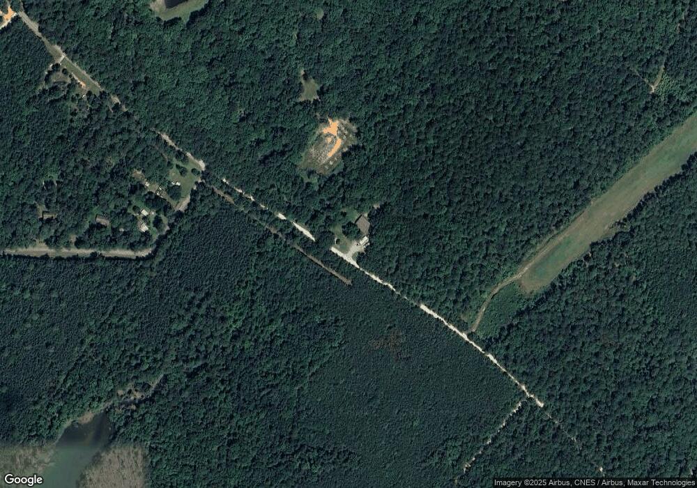
Map
Nearby Homes
- 1250 Mosley Rd
- 1025 Plantation Ln
- 1203 Price Reese Rd
- LOT 22 Plantation Point Rd
- 00 Bonner Rd
- 1063 Fleming Lk Ct
- 1063 Fleming Lake Ct
- 6075 Stb3 Ridge Rd
- 1080 Serenity Pointe Dr
- 1164 Sally Ann Ct
- 1102 Dogwood Dr
- 1016 Hidden Lake Ct
- 6710 Washington Rd
- 6275 Ridge Rd
- 4121 Pine Ridge Rd
- Lot 1-E Ridge Rd
- LOT B Ridge Rd
- LOT C Ridge Rd
- 207 Breckenridge Ln
- Lot 149 Forrest Dr
- 1012 Indian Cove Rd
- 1026 Indian Cove Rd
- 1050 Indian Cove Rd
- 1080 Indian Cove Rd
- 1100 Indian Cove Rd
- 6058 Double Branches Rd
- 6099 Double Branches Rd
- 3 Indian Cove Rd
- 0 Indian Cove Rd
- 6042 Double Branches Rd
- 1130 Indian Cove Rd
- 1120 Indian Cove Rd
- 1094 Camp Daniel Marshall Rd
- 1150 Indian Cove Rd
- 6035 Double Branches Rd
- 1795 Comanche Cir
- 1785 Comanche Cir
- 1775 Comanche Cir
- 1765 Comanche Cir
- 5943 Double Branches Rd