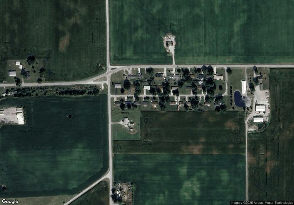
62 E Linn Rd Bluffton, IN 46714
Estimated Value: $153,855 - $203,000
3
Beds
1
Bath
1,056
Sq Ft
$160/Sq Ft
Est. Value
About This Home
This home is located at 62 E Linn Rd, Bluffton, IN 46714 and is currently estimated at $168,714, approximately $159 per square foot. 62 E Linn Rd is a home located in Wells County with nearby schools including Bluffton-Harrison Elementary School, Bluffton-Harrison Middle School, and Bluffton High School.
Ownership History
Date
Name
Owned For
Owner Type
Purchase Details
Closed on
Jan 31, 2007
Sold by
Sec Of Housing & Urban Developmen
Bought by
Meekin Gary A
Current Estimated Value
Home Financials for this Owner
Home Financials are based on the most recent Mortgage that was taken out on this home.
Original Mortgage
$53,100
Outstanding Balance
$31,100
Interest Rate
6.22%
Mortgage Type
New Conventional
Estimated Equity
$137,614
Purchase Details
Closed on
Jan 19, 2007
Sold by
Jackson Allphonso
Bought by
Meekin Gary A
Home Financials for this Owner
Home Financials are based on the most recent Mortgage that was taken out on this home.
Original Mortgage
$53,100
Outstanding Balance
$31,100
Interest Rate
6.22%
Mortgage Type
New Conventional
Estimated Equity
$137,614
Purchase Details
Closed on
Jul 26, 1999
Sold by
Smith Keith E
Bought by
Sparks Andrew M
Purchase Details
Closed on
Oct 7, 1998
Sold by
Sue Rust Tamara
Bought by
Smith Keith E
Create a Home Valuation Report for This Property
The Home Valuation Report is an in-depth analysis detailing your home's value as well as a comparison with similar homes in the area
Home Values in the Area
Average Home Value in this Area
Purchase History
| Date | Buyer | Sale Price | Title Company |
|---|---|---|---|
| Meekin Gary A | $53,100 | -- | |
| Meekin Gary A | -- | None Available | |
| Sparks Andrew M | $68,000 | -- | |
| Smith Keith E | $48,000 | -- |
Source: Public Records
Mortgage History
| Date | Status | Borrower | Loan Amount |
|---|---|---|---|
| Open | Smith Keith E | $53,100 | |
| Closed | Meekin Gary A | $53,100 |
Source: Public Records
Tax History
| Year | Tax Paid | Tax Assessment Tax Assessment Total Assessment is a certain percentage of the fair market value that is determined by local assessors to be the total taxable value of land and additions on the property. | Land | Improvement |
|---|---|---|---|---|
| 2025 | $667 | $141,400 | $30,500 | $110,900 |
| 2024 | $667 | $131,700 | $26,300 | $105,400 |
| 2023 | $590 | $121,100 | $26,300 | $94,800 |
| 2022 | $385 | $101,500 | $18,300 | $83,200 |
| 2021 | $309 | $90,100 | $18,300 | $71,800 |
| 2020 | $229 | $82,700 | $5,400 | $77,300 |
| 2019 | $243 | $80,000 | $5,400 | $74,600 |
| 2018 | $197 | $72,800 | $5,000 | $67,800 |
| 2017 | $148 | $71,600 | $5,000 | $66,600 |
| 2016 | $161 | $70,900 | $5,000 | $65,900 |
| 2014 | $144 | $69,600 | $5,000 | $64,600 |
| 2013 | $123 | $70,300 | $5,000 | $65,300 |
Source: Public Records
Map
Nearby Homes
- 1540 W Western Ave
- 26 Woodlawn St
- 1520 Serenity Trail
- 1521 Serenity Trail
- 1536 Serenity Trail
- 1528 Serenity Trail
- 1544 Serenity Trail
- 1154 Kayde Ln
- 1435 Mcconnell Dr
- 1510 Wheatfield Ct
- 1148 Farmington Dr
- 1063 Farmington Dr
- 1207 W Central Ave
- 1339 Clark Ave
- 909 W Market St
- 413 W Wabash St
- 128 W South St
- 929 S Main St
- 127 E Wiley Ave
- TBD E 100 N
Your Personal Tour Guide
Ask me questions while you tour the home.
