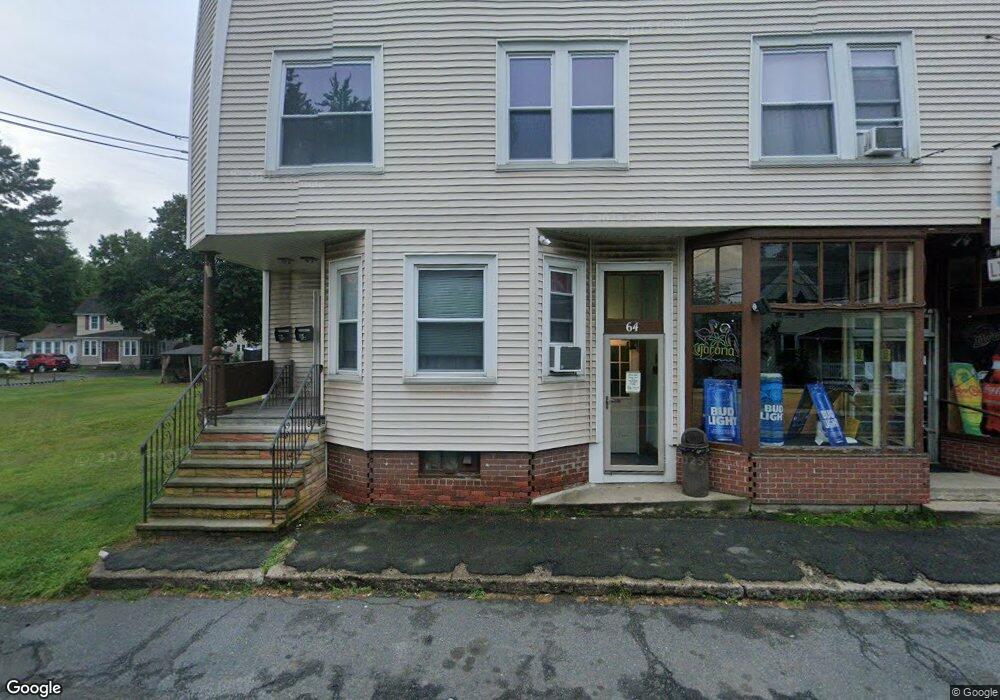
62 Ferry St Unit 66 Easthampton, MA 01027
5
Beds
2
Baths
5,744
Sq Ft
0.48
Acres
About This Home
This home is located at 62 Ferry St Unit 66, Easthampton, MA 01027. 62 Ferry St Unit 66 is a home located in Hampshire County with nearby schools including Easthampton High School, Hilltown Cooperative Charter Public School, and Tri-County Schools.
Ownership History
Date
Name
Owned For
Owner Type
Purchase Details
Closed on
Aug 23, 2025
Sold by
Zygmont Kathy A
Bought by
Zygmont Glenn A
Purchase Details
Closed on
Mar 31, 2011
Sold by
Zygmont Amanda R and Zygmont Alfred M
Bought by
Zygmont Glenn A and Zygmont Leeann
Purchase Details
Closed on
Dec 30, 2010
Sold by
Zygmont Alfred M and Zygmont Amanda R
Bought by
Zygmont Glenn A and Zygmont Leeann
Purchase Details
Closed on
Jan 18, 2008
Sold by
Zygmont Alfred M and Zygmont Amanda R
Bought by
Zygmont Glenn A and Zygmont Leeann
Purchase Details
Closed on
Mar 30, 2007
Sold by
Zygmont Alfred M and Zygmont Amanda K
Bought by
Zygmont Glenn A and Zygmont Leeann
Create a Home Valuation Report for This Property
The Home Valuation Report is an in-depth analysis detailing your home's value as well as a comparison with similar homes in the area
Home Values in the Area
Average Home Value in this Area
Purchase History
| Date | Buyer | Sale Price | Title Company |
|---|---|---|---|
| Zygmont Glenn A | -- | -- | |
| Zygmont Glenn A | -- | -- | |
| Zygmont Glenn A | -- | -- | |
| Zygmont Glenn A | -- | -- | |
| Zygmont Glenn A | -- | -- | |
| Zygmont Glenn A | -- | -- | |
| Zygmont Glenn A | -- | -- | |
| Zygmont Glenn A | -- | -- | |
| Zygmont Glenn A | -- | -- | |
| Zygmont Glenn A | -- | -- |
Source: Public Records
Tax History Compared to Growth
Tax History
| Year | Tax Paid | Tax Assessment Tax Assessment Total Assessment is a certain percentage of the fair market value that is determined by local assessors to be the total taxable value of land and additions on the property. | Land | Improvement |
|---|---|---|---|---|
| 2025 | $7,445 | $544,600 | $107,000 | $437,600 |
| 2024 | $7,180 | $529,500 | $104,100 | $425,400 |
| 2023 | $6,619 | $451,800 | $91,600 | $360,200 |
| 2022 | $7,468 | $451,800 | $91,600 | $360,200 |
| 2021 | $7,925 | $451,800 | $91,600 | $360,200 |
| 2020 | $8,024 | $451,800 | $91,600 | $360,200 |
| 2019 | $6,606 | $427,300 | $91,600 | $335,700 |
| 2018 | $6,427 | $401,700 | $86,400 | $315,300 |
| 2017 | $6,262 | $386,300 | $83,200 | $303,100 |
| 2016 | $6,022 | $386,300 | $83,200 | $303,100 |
| 2015 | -- | $386,300 | $83,200 | $303,100 |
Source: Public Records
Map
Nearby Homes
- 10 Glen Cove Place Unit A
- 12 Glen Cove Place Unit B
- 2 Clinton St
- 108 Parsons St
- 98 Everett St
- 52-54 Everett St
- 33 Knipfer Ave
- 19 Nicols Way Unit 19
- 78 Holyoke St
- 52 Williston Ave
- 38 West St
- 5 Lownds Ave
- 125 Park St
- 33 Howard Ave
- M143 &152 Glendale St
- 385 Main St
- 2 Little St
- 41 South St Unit 11
- 6 S St & Abutting Lots
- 5 Laurin Ln
- 61 Ferry St Unit 63
- 65 Ferry St Unit 67
- 67 Ferry St Unit LARGE DUPLEX -3 BEDR
- 74 Ferry St
- 56 Ferry St Unit 2
- 54 Ferry St Unit 60
- 57 Ferry St Unit 59
- 9-15 Parsons St
- 9 Parsons St Unit 15
- 15 Parsons St Unit 11
- 53 Ferry St Unit 55
- 13 Parsons St Unit 13
- 1 Edward Ave
- 1 Edward Ave
- 1 Edward Ave
- 9 Edward Ave
- 7 Edward Ave
- 7 Edward Ave
- 7 Edward Ave
- 7 Edward Ave Unit 7