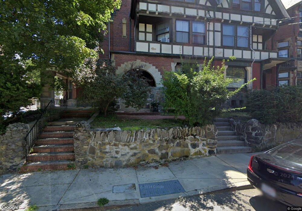
62 Harold St Roxbury, MA 02119
Washington Park NeighborhoodEstimated Value: $926,000 - $1,097,000
5
Beds
4
Baths
3,451
Sq Ft
$293/Sq Ft
Est. Value
About This Home
This home is located at 62 Harold St, Roxbury, MA 02119 and is currently estimated at $1,012,291, approximately $293 per square foot. 62 Harold St is a home located in Suffolk County with nearby schools including Bridge Boston Charter School and City on a Hill Charter Public School.
Ownership History
Date
Name
Owned For
Owner Type
Purchase Details
Closed on
Oct 31, 1989
Sold by
Taylor Richard L
Bought by
Cramer Donna M
Current Estimated Value
Home Financials for this Owner
Home Financials are based on the most recent Mortgage that was taken out on this home.
Original Mortgage
$238,500
Interest Rate
9.94%
Mortgage Type
Purchase Money Mortgage
Create a Home Valuation Report for This Property
The Home Valuation Report is an in-depth analysis detailing your home's value as well as a comparison with similar homes in the area
Home Values in the Area
Average Home Value in this Area
Purchase History
| Date | Buyer | Sale Price | Title Company |
|---|---|---|---|
| Cramer Donna M | $265,000 | -- |
Source: Public Records
Mortgage History
| Date | Status | Borrower | Loan Amount |
|---|---|---|---|
| Open | Cramer Donna M | $317,000 | |
| Closed | Cramer Donna M | $75,000 | |
| Closed | Cramer Donna M | $238,500 | |
| Previous Owner | Cramer Donna M | $38,000 |
Source: Public Records
Tax History Compared to Growth
Tax History
| Year | Tax Paid | Tax Assessment Tax Assessment Total Assessment is a certain percentage of the fair market value that is determined by local assessors to be the total taxable value of land and additions on the property. | Land | Improvement |
|---|---|---|---|---|
| 2025 | $8,770 | $757,300 | $201,600 | $555,700 |
| 2024 | $8,633 | $792,000 | $150,400 | $641,600 |
| 2023 | $8,506 | $792,000 | $150,400 | $641,600 |
| 2022 | $8,058 | $740,600 | $140,700 | $599,900 |
| 2021 | $7,746 | $726,000 | $137,900 | $588,100 |
| 2020 | $5,775 | $546,900 | $126,400 | $420,500 |
| 2019 | $5,386 | $511,000 | $105,100 | $405,900 |
| 2018 | $5,002 | $477,300 | $105,100 | $372,200 |
| 2017 | $5,055 | $477,300 | $105,100 | $372,200 |
| 2016 | $5,001 | $454,600 | $105,100 | $349,500 |
| 2015 | $5,885 | $486,000 | $72,700 | $413,300 |
| 2014 | $5,935 | $471,800 | $72,700 | $399,100 |
Source: Public Records
Map
Nearby Homes
- 90 Munroe St
- 151 Townsend St
- 16 Mayfair St
- 99 Harrishof St
- 8 Brinton St Unit 2
- 2856 Washington St
- 94 Walnut Ave
- 28 Wabon St
- 9 Abbotsford St Unit 1
- 9-45 Vale St
- 4 Wyoming St Unit 2
- 4 Ruthven St
- 10 Rockland St Unit 4
- 495 Warren St
- 35-37 Notre Dame St
- 26-28-30 Notre Dame St
- 476 Warren St
- 75 Ruthven St
- 9 W Cedar St Unit 1
- 5 Glenburne St