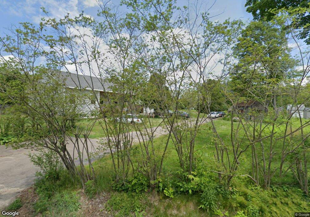
62 Lancaster St Franklin, NH 03235
Estimated Value: $411,000 - $486,916
2
Beds
1
Bath
1,538
Sq Ft
$294/Sq Ft
Est. Value
About This Home
This home is located at 62 Lancaster St, Franklin, NH 03235 and is currently estimated at $452,229, approximately $294 per square foot. 62 Lancaster St is a home located in Merrimack County with nearby schools including Paul A. Smith School, Franklin Middle School, and Franklin High School.
Ownership History
Date
Name
Owned For
Owner Type
Purchase Details
Closed on
Dec 19, 2017
Sold by
Nicholaides Pauline
Bought by
Pjn 2017 T
Current Estimated Value
Purchase Details
Closed on
May 11, 2010
Sold by
Nhfa
Bought by
Nicholaides Pauline
Purchase Details
Closed on
Mar 8, 2010
Sold by
Mcdonald Bruce E
Bought by
Nhfa
Purchase Details
Closed on
Sep 13, 2001
Sold by
Keough Richard J
Bought by
Mcdonald Bruce E and Mcdonald Marie Alida
Home Financials for this Owner
Home Financials are based on the most recent Mortgage that was taken out on this home.
Original Mortgage
$87,203
Interest Rate
6.99%
Create a Home Valuation Report for This Property
The Home Valuation Report is an in-depth analysis detailing your home's value as well as a comparison with similar homes in the area
Home Values in the Area
Average Home Value in this Area
Purchase History
| Date | Buyer | Sale Price | Title Company |
|---|---|---|---|
| Pjn 2017 T | -- | -- | |
| Nicholaides Pauline | $55,000 | -- | |
| Nhfa | $84,400 | -- | |
| Mcdonald Bruce E | $89,900 | -- |
Source: Public Records
Mortgage History
| Date | Status | Borrower | Loan Amount |
|---|---|---|---|
| Previous Owner | Mcdonald Bruce E | $87,203 |
Source: Public Records
Tax History Compared to Growth
Tax History
| Year | Tax Paid | Tax Assessment Tax Assessment Total Assessment is a certain percentage of the fair market value that is determined by local assessors to be the total taxable value of land and additions on the property. | Land | Improvement |
|---|---|---|---|---|
| 2024 | $6,971 | $406,500 | $85,600 | $320,900 |
| 2023 | $6,434 | $395,700 | $85,600 | $310,100 |
| 2022 | $5,073 | $208,000 | $70,500 | $137,500 |
| 2021 | $4,828 | $208,000 | $70,500 | $137,500 |
| 2020 | $4,751 | $208,000 | $70,500 | $137,500 |
| 2019 | $4,674 | $208,000 | $70,500 | $137,500 |
| 2018 | $4,550 | $207,200 | $71,000 | $136,200 |
| 2017 | $4,225 | $165,300 | $37,800 | $127,500 |
| 2016 | $4,168 | $165,200 | $37,800 | $127,400 |
| 2015 | $2,541 | $101,850 | $26,460 | $75,390 |
| 2011 | $1,410 | $65,500 | $43,900 | $21,600 |
Source: Public Records
Map
Nearby Homes
- 24 Munroe St Unit 2
- 24 Munroe St Unit 1&2
- 24 Munroe St Unit 1
- 721 Central St
- 28 Leach Ave
- 624 Central St
- 12 Village Way Unit 38
- 99 Pleasant St
- 180 Kendall St
- 48 Millstone Dr Unit 58
- 28 Maple Square
- 39 Village Way Unit 21
- 41 Village Way Unit 22
- 50 Millstone Dr Unit 57
- 12 Stonehenge Cir
- 193 Kendall St
- 225 Kendall St
- 12 Foothills Way
- 46 Sanborn St
- 42 Woodrow Ave
- 64 Lancaster St
- 56 Lancaster St
- 66 Lancaster St
- 42 Lancaster St
- 69 Lancaster St
- 72 Lancaster St
- 57 Lancaster St
- 74 Lancaster St
- 32 Lancaster St
- 76 Lancaster St
- 4 Green St
- 781 Central St
- 835 Central St
- 821 Central St
- 801 Central St
- 753 Central St
- 861 Central St
- 99 Munroe St
- 780 Central St
- 731 Central St