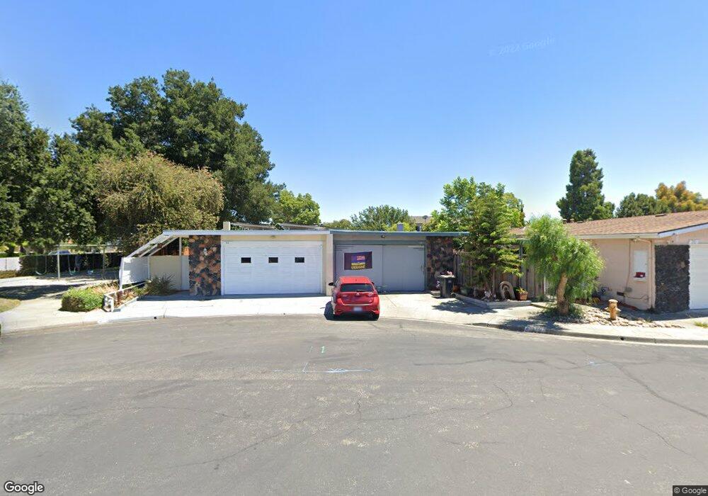
62 Woodland Ct Milpitas, CA 95035
Estimated Value: $1,111,000 - $1,683,000
3
Beds
2
Baths
1,240
Sq Ft
$1,057/Sq Ft
Est. Value
About This Home
This home is located at 62 Woodland Ct, Milpitas, CA 95035 and is currently estimated at $1,310,742, approximately $1,057 per square foot. 62 Woodland Ct is a home located in Santa Clara County with nearby schools including Pearl Zanker Elementary School, Rancho Milpitas Middle School, and Milpitas High School.
Ownership History
Date
Name
Owned For
Owner Type
Purchase Details
Closed on
Sep 25, 2006
Sold by
Trumbull David C
Bought by
Trumbull David C and Trumbull Cathy J
Current Estimated Value
Home Financials for this Owner
Home Financials are based on the most recent Mortgage that was taken out on this home.
Original Mortgage
$300,000
Interest Rate
6.5%
Mortgage Type
Purchase Money Mortgage
Purchase Details
Closed on
Dec 22, 2000
Sold by
Trumbull Cathy J
Bought by
Trumbull David C
Home Financials for this Owner
Home Financials are based on the most recent Mortgage that was taken out on this home.
Original Mortgage
$207,000
Interest Rate
7.71%
Create a Home Valuation Report for This Property
The Home Valuation Report is an in-depth analysis detailing your home's value as well as a comparison with similar homes in the area
Home Values in the Area
Average Home Value in this Area
Purchase History
| Date | Buyer | Sale Price | Title Company |
|---|---|---|---|
| Trumbull David C | -- | First American Title Company | |
| Trumbull David C | -- | Alliance Title Company |
Source: Public Records
Mortgage History
| Date | Status | Borrower | Loan Amount |
|---|---|---|---|
| Previous Owner | Trumbull David C | $300,000 | |
| Previous Owner | Trumbull David C | $207,000 |
Source: Public Records
Tax History Compared to Growth
Tax History
| Year | Tax Paid | Tax Assessment Tax Assessment Total Assessment is a certain percentage of the fair market value that is determined by local assessors to be the total taxable value of land and additions on the property. | Land | Improvement |
|---|---|---|---|---|
| 2025 | $1,656 | $130,741 | $30,542 | $100,199 |
| 2024 | $1,656 | $128,179 | $29,944 | $98,235 |
| 2023 | $1,648 | $125,666 | $29,357 | $96,309 |
| 2022 | $1,644 | $123,203 | $28,782 | $94,421 |
| 2021 | $1,619 | $120,788 | $28,218 | $92,570 |
| 2020 | $1,592 | $119,550 | $27,929 | $91,621 |
| 2019 | $1,576 | $117,207 | $27,382 | $89,825 |
| 2018 | $1,504 | $114,910 | $26,846 | $88,064 |
| 2017 | $1,485 | $112,658 | $26,320 | $86,338 |
| 2016 | $1,421 | $110,450 | $25,804 | $84,646 |
| 2015 | $1,405 | $108,792 | $25,417 | $83,375 |
| 2014 | $1,351 | $106,662 | $24,920 | $81,742 |
Source: Public Records
Map
Nearby Homes
- 1101 S Main St Unit 216
- 185 Evening Star Ct
- 1603 Canal St
- 283 Baja Rose St
- 1228 Starlite Dr
- 39 Cloud Walk Unit 328
- 27 S Main St
- 1087 Starlite Dr
- 315 Wild Rose Way
- 1777 Hazelnut Ln
- 390 Riesling Ave Unit 30
- 800 S Abel St Unit 507
- 800 S Abel St Unit 219
- 800 S Abel St Unit 303
- 380 Riesling Ave Unit 21
- 330 Riesling Ave Unit 21
- Plan 2 at Pinnacle
- Plan 1 at Pinnacle
- 337 Montague Expy
- 74 Parc Place Dr
- 54 Woodland Ct
- 70 Woodland Ct
- 78 Woodland Ct
- 86 Woodland Ct
- 15 Greentree Cir
- 13 Greentree Cir
- 17 Greentree Cir
- 98 Woodland Ct
- 69 Woodland Ct
- 75 Woodland Ct
- 63 Woodland Ct
- 19 Greentree Cir
- 57 Woodland Ct
- 81 Woodland Ct
- 104 Woodland Ct
- 87 Woodland Ct
- 10 Greentree Cir
- 110 Woodland Ct
- 99 Woodland Ct
- 21 Greentree Cir