620 Larie Ln Red Bluff, CA 96080
Estimated Value: $423,000 - $459,466
About This Home
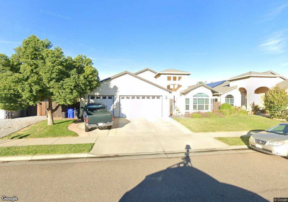
This home is located at 620 Larie Ln, Red Bluff, CA 96080 and is currently estimated at $442,367, approximately $201 per square foot. 620 Larie Ln is a home located in Tehama County with nearby schools including Bidwell Elementary School, Vista Preparatory Academy, and Red Bluff High School.
Ownership History
We collect this data history from publicly available records. To have your information removed, we recommend requesting removal directly through your county’s website.
Purchase Details
Home Financials for this Owner
Home Financials are based on the most recent Mortgage that was taken out on this home.Purchase Details
Purchase Details
Home Financials for this Owner
Home Financials are based on the most recent Mortgage that was taken out on this home.Purchase Details
Home Financials for this Owner
Home Financials are based on the most recent Mortgage that was taken out on this home.Purchase Details
Purchase Details
Purchase Details
Purchase Details
Purchase Details
Home Financials for this Owner
Home Financials are based on the most recent Mortgage that was taken out on this home.Purchase History
We collect this data history from publicly available records. To have your information removed, we recommend requesting removal directly through your county’s website.
| Date | Buyer | Sale Price | Title Company |
|---|---|---|---|
| $250,000 | Placer Title Company | ||
| -- | None Available | ||
| $201,000 | Northern California Title Co | ||
| $304,500 | Placer Title Company | ||
| $162,000 | Placer Title Company | ||
| -- | None Available | ||
| -- | None Available | ||
| -- | None Available | ||
| -- | Placer Title Company |
Mortgage History
We collect this data history from publicly available records. To have your information removed, we recommend requesting removal directly through your county’s website.
| Date | Status | Borrower | Loan Amount |
|---|---|---|---|
| Open | $245,471 | ||
| Previous Owner | $160,200 | ||
| Previous Owner | $200,000 | ||
| Previous Owner | $284,700 | ||
| Previous Owner | $265,250 |
Tax History
We collect this data history from publicly available records. To have your information removed, we recommend requesting removal directly through your county’s website.
| Year | Tax Paid | Tax Assessment Tax Assessment Total Assessment is a certain percentage of the fair market value that is determined by local assessors to be the total taxable value of land and additions on the property. | Land | Improvement |
|---|---|---|---|---|
| 2025 | $2,947 | $290,139 | $52,222 | $237,917 |
| 2023 | $2,898 | $278,875 | $50,196 | $228,679 |
| 2022 | $2,878 | $273,408 | $49,212 | $224,196 |
| 2021 | $2,762 | $268,048 | $48,248 | $219,800 |
| 2020 | $2,820 | $265,301 | $47,754 | $217,547 |
| 2019 | $2,838 | $260,100 | $46,818 | $213,282 |
| 2018 | $2,624 | $255,000 | $45,900 | $209,100 |
| 2017 | $2,648 | $250,000 | $45,000 | $205,000 |
| 2016 | $2,152 | $213,267 | $47,746 | $165,521 |
| 2015 | -- | $210,064 | $47,029 | $163,035 |
| 2014 | $2,018 | $205,950 | $46,108 | $159,842 |
Map
- 379 Michael Dr
- 2085 Acwron Dr
- 550 Bayles Ave
- 329 Michael Dr
- 310 Michael Dr
- 510 David Ave
- 1402 Scottsdale Way
- 1405 Robinson Dr
- 1455 Acacia St
- 1735 Douglass St
- 1307 Deborah Dr
- 1570 Douglass St
- 1560 Carl Ct
- 1310 Orange St
- 1470 Franzel Cir
- 1330 4th St
- 1124 Union St
- 1707 Luning St
- 1335 Franzel Rd
- 1359 2nd St
- 620 Larie Ln Unit Lot 2
- 630 Larie Ln Unit LOT 3
- 630 Larie Ln
- 2006 Walnut St
- 645 Larie Ln
- 2007 Walnut St
- 665 Larie Ln
- 670 Larie Ln
- 610 Haley Ln Unit 36
- 610 Haley Ln
- 630 Haley Ln
- 650 Haley Ln
- 20921 Walnut St
- 680 Larie Ln
- 2050 Greystone Ct
- 2000 Walnut St
- 660 Haley Ln
- 660 Haley Ln
- 2040 Greystone Ct
- 2030 Greystone Ct
Ask me questions while you tour the home.