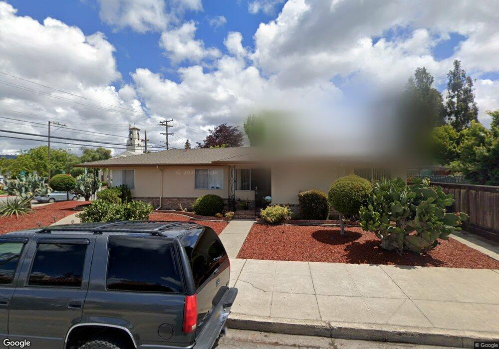
620 Maple Ct San Leandro, CA 94577
Old San Leandro NeighborhoodEstimated Value: $644,000 - $1,021,000
4
Beds
2
Baths
1,720
Sq Ft
$501/Sq Ft
Est. Value
About This Home
This home is located at 620 Maple Ct, San Leandro, CA 94577 and is currently estimated at $861,529, approximately $500 per square foot. 620 Maple Ct is a home located in Alameda County with nearby schools including Washington Elementary School, Bancroft Middle School, and San Leandro High School.
Ownership History
Date
Name
Owned For
Owner Type
Purchase Details
Closed on
Aug 23, 2010
Sold by
Fitzpatrick Carol
Bought by
Fitzpatrick Carol and Carol Fitzpatrick Family Trust
Current Estimated Value
Purchase Details
Closed on
Jul 21, 2009
Sold by
Fitzpatrick Carol and Surviving Spouses Trust Of Fra
Bought by
Fitzpatrick Carol
Purchase Details
Closed on
Dec 11, 2002
Sold by
Fehn Dorothy L
Bought by
Fehn Dorothy L and Frank & Dorothy Fehn Trust
Home Financials for this Owner
Home Financials are based on the most recent Mortgage that was taken out on this home.
Original Mortgage
$50,000
Interest Rate
6.03%
Purchase Details
Closed on
Jun 1, 2000
Sold by
Fehn Dorothy L and Frank & Dorothy Fehn Trust
Bought by
Fehn Dorothy L and Frank & Dorothy Fehn Trust
Create a Home Valuation Report for This Property
The Home Valuation Report is an in-depth analysis detailing your home's value as well as a comparison with similar homes in the area
Home Values in the Area
Average Home Value in this Area
Purchase History
| Date | Buyer | Sale Price | Title Company |
|---|---|---|---|
| Fitzpatrick Carol | -- | None Available | |
| Fitzpatrick Carol | -- | None Available | |
| Fehn Dorothy L | -- | -- | |
| Fehn Dorothy L | -- | Commonwealth Land Title | |
| Fehn Dorothy L | -- | -- |
Source: Public Records
Mortgage History
| Date | Status | Borrower | Loan Amount |
|---|---|---|---|
| Closed | Fehn Dorothy L | $50,000 |
Source: Public Records
Tax History
| Year | Tax Paid | Tax Assessment Tax Assessment Total Assessment is a certain percentage of the fair market value that is determined by local assessors to be the total taxable value of land and additions on the property. | Land | Improvement |
|---|---|---|---|---|
| 2025 | $3,688 | $169,873 | $123,216 | $46,657 |
| 2024 | $3,688 | $166,543 | $120,800 | $45,743 |
| 2023 | $3,558 | $163,278 | $118,432 | $44,846 |
| 2022 | $3,459 | $160,077 | $116,110 | $43,967 |
| 2021 | $3,276 | $156,939 | $113,834 | $43,105 |
| 2020 | $3,122 | $155,330 | $112,667 | $42,663 |
| 2019 | $3,044 | $152,284 | $110,458 | $41,826 |
| 2018 | $2,948 | $149,299 | $108,293 | $41,006 |
| 2017 | $2,916 | $146,371 | $106,169 | $40,202 |
| 2016 | $2,790 | $143,502 | $104,088 | $39,414 |
| 2015 | $2,739 | $141,346 | $102,524 | $38,822 |
| 2014 | $2,704 | $138,579 | $100,517 | $38,062 |
Source: Public Records
Map
Nearby Homes
- 236 Haas Ave
- 275 Haas Ave
- 76 Georgia Way
- 532 Lafayette Ave
- 576 Begier Ave
- 523 Pala Ave
- 962 Lee Ave
- 243 Chumalia St
- 225 Chumalia St
- 350 Lafayette Ave
- 185 Belleview Dr
- 159 Garcia Ave
- 496 Kenilworth Ave
- 464 Kenilworth Ave
- 409 Pershing Dr
- 400 Davis St Unit 301
- 10926 Bancroft Ave
- 737 Cary Dr
- 483 Joaquin Ave
- 2139 108th Ave
Your Personal Tour Guide
Ask me questions while you tour the home.