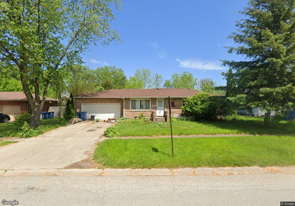
620 Mohawk Dr Lowell, IN 46356
West Creek NeighborhoodEstimated Value: $254,000 - $264,000
3
Beds
2
Baths
2,184
Sq Ft
$119/Sq Ft
Est. Value
About This Home
This home is located at 620 Mohawk Dr, Lowell, IN 46356 and is currently estimated at $258,945, approximately $118 per square foot. 620 Mohawk Dr is a home located in Lake County with nearby schools including Lowell Middle School and Lowell Senior High School.
Ownership History
Date
Name
Owned For
Owner Type
Purchase Details
Closed on
Jun 14, 2006
Sold by
Demario Brian A and Demario Eileen M
Bought by
Boss Derek
Current Estimated Value
Home Financials for this Owner
Home Financials are based on the most recent Mortgage that was taken out on this home.
Original Mortgage
$160,000
Outstanding Balance
$93,126
Interest Rate
6.68%
Mortgage Type
Purchase Money Mortgage
Estimated Equity
$165,819
Create a Home Valuation Report for This Property
The Home Valuation Report is an in-depth analysis detailing your home's value as well as a comparison with similar homes in the area
Home Values in the Area
Average Home Value in this Area
Purchase History
| Date | Buyer | Sale Price | Title Company |
|---|---|---|---|
| Boss Derek | -- | The Talon Group |
Source: Public Records
Mortgage History
| Date | Status | Borrower | Loan Amount |
|---|---|---|---|
| Open | Boss Derek | $160,000 |
Source: Public Records
Tax History
| Year | Tax Paid | Tax Assessment Tax Assessment Total Assessment is a certain percentage of the fair market value that is determined by local assessors to be the total taxable value of land and additions on the property. | Land | Improvement |
|---|---|---|---|---|
| 2025 | $2,171 | $226,300 | $35,700 | $190,600 |
| 2024 | $5,296 | $211,500 | $35,700 | $175,800 |
| 2023 | $1,852 | $201,300 | $35,700 | $165,600 |
| 2022 | $1,852 | $188,000 | $35,700 | $152,300 |
| 2021 | $1,732 | $173,900 | $31,000 | $142,900 |
| 2020 | $1,614 | $164,700 | $31,000 | $133,700 |
| 2019 | $1,632 | $155,500 | $31,000 | $124,500 |
| 2018 | $1,562 | $149,500 | $31,000 | $118,500 |
| 2017 | $1,803 | $157,700 | $31,000 | $126,700 |
| 2016 | $1,600 | $154,000 | $31,000 | $123,000 |
| 2014 | $1,602 | $153,900 | $31,000 | $122,900 |
| 2013 | $1,523 | $144,200 | $31,000 | $113,200 |
Source: Public Records
Map
Nearby Homes
- 654 Cheyenne Dr
- 715 Cheyenne Dr
- 115 N Nichols St
- 617 Fawn Cir
- 524 Timberwood Ln
- 822 Seminole Dr
- 487 Timber Lake Dr
- 124 N Liberty St
- 230 Grant St
- 322 Valley Ct
- 321 Valley Ct
- 872 Valley View Dr
- The Sierra IIs Plan at Freedom Springs
- The Reynolds Plan at Freedom Springs
- The Phillips IV Plan at Freedom Springs
- The Ocean Springs Plan at Freedom Springs
- The Glendale Plan at Freedom Springs
- The Phillips II Plan at Freedom Springs
- The Cheyenne Plan at Freedom Springs
- The Parkwood Plan at Freedom Springs
- 536 Mohawk Dr
- 632 Mohawk Dr
- 613 Cheyenne Dr
- 526 Mohawk Dr
- 650 Mohawk Dr Unit 10
- 535 Cheyenne Dr
- 623 Cheyenne Dr
- 615 Mohawk Dr
- 525 Cheyenne Dr
- 533 Mohawk Dr
- 222 Cherokee Dr
- 520 Mohawk Dr
- 660 Mohawk Dr
- 301 Arrowhead Dr
- 517 Cheyenne Dr
- 657 Cheyenne Dr
- 468 Mohawk Dr
- 223 Cherokee Dr Unit 10
- 220 Cherokee Dr
- 469 Cheyenne Dr
Your Personal Tour Guide
Ask me questions while you tour the home.