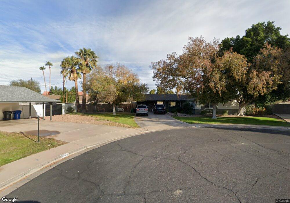
620 N Diane Cir Mesa, AZ 85203
Mesa Patios NeighborhoodEstimated Value: $353,542 - $469,000
--
Bed
2
Baths
1,538
Sq Ft
$273/Sq Ft
Est. Value
About This Home
This home is located at 620 N Diane Cir, Mesa, AZ 85203 and is currently estimated at $419,386, approximately $272 per square foot. 620 N Diane Cir is a home located in Maricopa County with nearby schools including Michael T. Hughes Elementary School, Franklin at Brimhall Elementary School, and Franklin West Elementary School.
Ownership History
Date
Name
Owned For
Owner Type
Purchase Details
Closed on
Dec 26, 2001
Sold by
Morgan Prince George F and Morgan Prince Larue
Bought by
Shill Boyd E and Shill Christine P
Current Estimated Value
Home Financials for this Owner
Home Financials are based on the most recent Mortgage that was taken out on this home.
Original Mortgage
$121,500
Outstanding Balance
$51,271
Interest Rate
7.5%
Estimated Equity
$368,115
Purchase Details
Closed on
May 25, 1995
Sold by
Selzer David K and Selzer Lianne R
Bought by
Shill Boyd E and Shill Christine P
Home Financials for this Owner
Home Financials are based on the most recent Mortgage that was taken out on this home.
Original Mortgage
$90,798
Interest Rate
8.32%
Mortgage Type
New Conventional
Create a Home Valuation Report for This Property
The Home Valuation Report is an in-depth analysis detailing your home's value as well as a comparison with similar homes in the area
Home Values in the Area
Average Home Value in this Area
Purchase History
| Date | Buyer | Sale Price | Title Company |
|---|---|---|---|
| Shill Boyd E | -- | Security Title Agency | |
| Shill Boyd E | $93,500 | Chicago Title Insurance Co |
Source: Public Records
Mortgage History
| Date | Status | Borrower | Loan Amount |
|---|---|---|---|
| Open | Shill Boyd E | $121,500 | |
| Previous Owner | Shill Boyd E | $90,798 |
Source: Public Records
Tax History Compared to Growth
Tax History
| Year | Tax Paid | Tax Assessment Tax Assessment Total Assessment is a certain percentage of the fair market value that is determined by local assessors to be the total taxable value of land and additions on the property. | Land | Improvement |
|---|---|---|---|---|
| 2025 | $1,298 | $15,634 | -- | -- |
| 2024 | $1,313 | $14,890 | -- | -- |
| 2023 | $1,313 | $31,720 | $6,340 | $25,380 |
| 2022 | $1,284 | $24,220 | $4,840 | $19,380 |
| 2021 | $1,319 | $22,560 | $4,510 | $18,050 |
| 2020 | $1,301 | $21,480 | $4,290 | $17,190 |
| 2019 | $1,206 | $19,410 | $3,880 | $15,530 |
| 2018 | $1,151 | $17,160 | $3,430 | $13,730 |
| 2017 | $1,115 | $16,020 | $3,200 | $12,820 |
| 2016 | $1,095 | $14,970 | $2,990 | $11,980 |
| 2015 | $1,034 | $12,980 | $2,590 | $10,390 |
Source: Public Records
Map
Nearby Homes
- 1418 E Downing St
- 520 N Stapley Dr Unit 108
- 520 N Stapley Dr Unit 285
- 520 N Stapley Dr Unit 248
- 1756 E University Dr
- 1328 E Evergreen St
- 1102 E University Dr
- 1023 E 9th St
- 936 E 8th Place
- 616 N Freestone Cir
- 1550 E University Dr Unit L1,2,3
- 731 N Oracle
- 1505 E 3rd Place
- 1311 E 2nd Place
- 536 N Hall
- 815 N Hill Cir
- 505 N Williams
- 1138 E 2nd St
- 323 N Hunt Dr E
- 135 N Stapley Dr
- 615 N Diane Cir Unit 1
- 1231 E Dartmouth St
- 616 N Diane Cir
- 1221 E Dartmouth St
- 1239 E Dartmouth St
- 609 N Diane Cir
- 618 N Delmar
- 610 N Diane Cir
- 624 N Delmar
- 637 N Stapley Dr
- 612 N Delmar
- 629 N Stapley Dr
- 1241 E Dartmouth St Unit 4
- 1207 E Dartmouth St
- 603 N Diane Cir
- 1238 E Dartmouth St
- 617 N Stapley Dr
- 1222 E Dover St
- 630 N Delmar
- 606 N Delmar