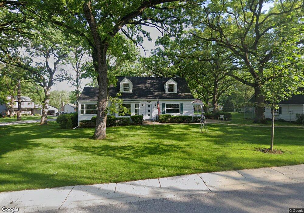
620 S Hubbard St Algonquin, IL 60102
Estimated Value: $289,704 - $374,000
--
Bed
--
Bath
--
Sq Ft
0.37
Acres
About This Home
This home is located at 620 S Hubbard St, Algonquin, IL 60102 and is currently estimated at $335,568. 620 S Hubbard St is a home located in McHenry County with nearby schools including Eastview Elementary School, Algonquin Middle School, and Dundee-Crown High School.
Ownership History
Date
Name
Owned For
Owner Type
Purchase Details
Closed on
Jan 2, 2018
Sold by
Zange Bruce W and Zange Patricia B
Bought by
Zange Bruce W and Zange Patricia A
Current Estimated Value
Purchase Details
Closed on
Aug 22, 2017
Sold by
Zange Bruce
Bought by
Bober Jeffrey S
Home Financials for this Owner
Home Financials are based on the most recent Mortgage that was taken out on this home.
Original Mortgage
$128,000
Outstanding Balance
$109,321
Interest Rate
4.87%
Mortgage Type
New Conventional
Estimated Equity
$226,247
Purchase Details
Closed on
Apr 23, 1998
Sold by
Zange Arthur E
Bought by
Zange Arthur E
Create a Home Valuation Report for This Property
The Home Valuation Report is an in-depth analysis detailing your home's value as well as a comparison with similar homes in the area
Home Values in the Area
Average Home Value in this Area
Purchase History
| Date | Buyer | Sale Price | Title Company |
|---|---|---|---|
| Zange Bruce W | -- | None Available | |
| Bober Jeffrey S | $160,000 | Chicago Title | |
| Zange Arthur E | -- | -- |
Source: Public Records
Mortgage History
| Date | Status | Borrower | Loan Amount |
|---|---|---|---|
| Open | Bober Jeffrey S | $128,000 |
Source: Public Records
Tax History Compared to Growth
Tax History
| Year | Tax Paid | Tax Assessment Tax Assessment Total Assessment is a certain percentage of the fair market value that is determined by local assessors to be the total taxable value of land and additions on the property. | Land | Improvement |
|---|---|---|---|---|
| 2024 | $6,451 | $82,471 | $14,894 | $67,577 |
| 2023 | $6,175 | $73,760 | $13,321 | $60,439 |
| 2022 | $5,605 | $65,359 | $20,288 | $45,071 |
| 2021 | $5,403 | $60,890 | $18,901 | $41,989 |
| 2020 | $5,274 | $58,735 | $18,232 | $40,503 |
| 2019 | $5,162 | $56,216 | $17,450 | $38,766 |
| 2018 | $4,950 | $51,932 | $16,120 | $35,812 |
| 2017 | $4,872 | $48,923 | $15,186 | $33,737 |
Source: Public Records
Map
Nearby Homes
- 102 Center St
- 0 River Dr N Unit MRD12473279
- 314 Washington St
- 600 E Algonquin Rd
- 0 Natoma Trail
- 1245 Winaki Trail
- 2 Sunset Ln
- lot 25 Wabican Trail
- 69 Alice St
- 420 N Harrison St
- 1188 E Algonquin Rd
- 1114 Riverwood Dr Unit 1114
- 911 Old Oak Cir Unit 1
- 721 Brentwood Ct
- 903 Old Oak Cir
- 710 Sprucetree Ln
- 920 Plymouth Ct
- 9999 Sandbloom Rd
- 925 N River Rd
- 620 Old Oak Cir
- 606 S Hubbard St
- 625 S Hubbard St
- 690 Oceola Dr
- 621 Oceola Dr
- 650 Oceola Dr
- 680 Oceola Dr
- 630 Oceola Dr
- 609 S Hubbard St
- 725 Oceola Dr
- 625 Oceola Dr
- 710 Oceola Dr
- 610 Cherokee Rd
- 520 S Hubbard St
- 600 Cherokee Rd
- 731 Oceola Dr
- 714 Oceola Dr
- 515 S River Rd
- 538 Lincoln St
- 525 S Hubbard St
- 514 S Hubbard St