Estimated Value: $170,000 - $175,135
3
Beds
1
Bath
1,384
Sq Ft
$125/Sq Ft
Est. Value
About This Home
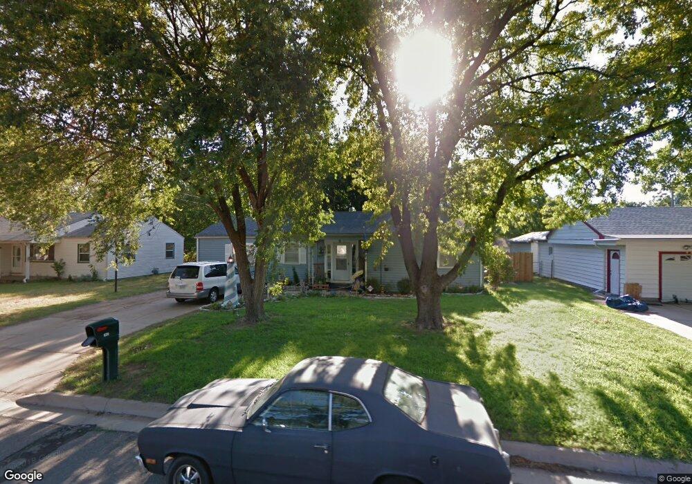
This home is located at 620 S Queen St, Maize, KS 67101 and is currently estimated at $172,568, approximately $124 per square foot. 620 S Queen St is a home located in Sedgwick County with nearby schools including Maize Middle School and Maize High School.
Ownership History
Date
Name
Owned For
Owner Type
Purchase Details
Closed on
Jul 21, 2020
Sold by
Burkhead Robert L and Burkhead Rocio Garcia
Bought by
Harris David and Burkhead Shania Evelyn
Current Estimated Value
Home Financials for this Owner
Home Financials are based on the most recent Mortgage that was taken out on this home.
Original Mortgage
$101,010
Outstanding Balance
$89,735
Interest Rate
3.2%
Mortgage Type
New Conventional
Estimated Equity
$82,833
Purchase Details
Closed on
Feb 12, 1999
Sold by
Hite Michael D and Hite Peggy
Bought by
Mccune Michael and Mccune Bethany
Home Financials for this Owner
Home Financials are based on the most recent Mortgage that was taken out on this home.
Original Mortgage
$62,934
Interest Rate
6.78%
Mortgage Type
FHA
Create a Home Valuation Report for This Property
The Home Valuation Report is an in-depth analysis detailing your home's value as well as a comparison with similar homes in the area
Home Values in the Area
Average Home Value in this Area
Purchase History
| Date | Buyer | Sale Price | Title Company |
|---|---|---|---|
| Harris David | -- | Security 1St Title Llc | |
| Mccune Michael | -- | -- |
Source: Public Records
Mortgage History
| Date | Status | Borrower | Loan Amount |
|---|---|---|---|
| Open | Harris David | $101,010 | |
| Previous Owner | Mccune Michael | $62,934 |
Source: Public Records
Tax History
| Year | Tax Paid | Tax Assessment Tax Assessment Total Assessment is a certain percentage of the fair market value that is determined by local assessors to be the total taxable value of land and additions on the property. | Land | Improvement |
|---|---|---|---|---|
| 2025 | $1,795 | $15,629 | $5,302 | $10,327 |
| 2023 | $1,795 | $12,812 | $2,427 | $10,385 |
| 2022 | $1,650 | $11,190 | $2,289 | $8,901 |
| 2021 | $1,605 | $10,661 | $2,289 | $8,372 |
| 2020 | $1,494 | $9,960 | $2,289 | $7,671 |
| 2019 | $1,447 | $9,672 | $2,289 | $7,383 |
| 2018 | $1,366 | $9,120 | $1,679 | $7,441 |
| 2017 | $1,373 | $0 | $0 | $0 |
| 2016 | $1,316 | $0 | $0 | $0 |
| 2015 | $1,256 | $0 | $0 | $0 |
| 2014 | $1,243 | $0 | $0 | $0 |
Source: Public Records
Map
Nearby Homes
- 415 S Sweetwater Rd
- 319 Jonathan St
- 721 High Plains Cir
- 432 S Sweetwater Rd
- 403 S Sweetwater Rd
- 429 S Longbranch Dr
- 613 S Sweetwater Cir
- 634 S Sweetwater Rd
- 10494 W Wilkinson St
- 903 Stetson Cir
- 10498 W Wilkinson St
- 10530 W Wilkinson St
- 9658 W Cedar Ln
- 10696 Sondra
- 9657 W Cedar Ln
- 10745 W Sondra St
- 11314 W Wilkinson Ct
- 300 W Albert St Unit 4
- 628 S Longbranch Dr
- 10861 W Sondra Ct
Your Personal Tour Guide
Ask me questions while you tour the home.