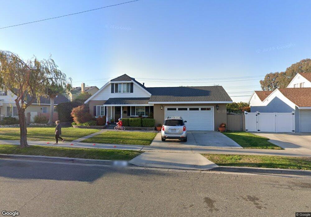
6201 Apache Rd Westminster, CA 92683
Estimated Value: $829,000 - $1,166,000
4
Beds
3
Baths
1,551
Sq Ft
$645/Sq Ft
Est. Value
About This Home
This home is located at 6201 Apache Rd, Westminster, CA 92683 and is currently estimated at $999,871, approximately $644 per square foot. 6201 Apache Rd is a home located in Orange County with nearby schools including Sequoia Elementary, Johnson Middle, and Westminster High School.
Ownership History
Date
Name
Owned For
Owner Type
Purchase Details
Closed on
Mar 24, 1994
Sold by
Murakami Alan
Bought by
Quinn Donald and Quinn Kimberly
Current Estimated Value
Home Financials for this Owner
Home Financials are based on the most recent Mortgage that was taken out on this home.
Original Mortgage
$156,750
Interest Rate
8.52%
Create a Home Valuation Report for This Property
The Home Valuation Report is an in-depth analysis detailing your home's value as well as a comparison with similar homes in the area
Home Values in the Area
Average Home Value in this Area
Purchase History
| Date | Buyer | Sale Price | Title Company |
|---|---|---|---|
| Quinn Donald | $165,000 | South Coast Title Company |
Source: Public Records
Mortgage History
| Date | Status | Borrower | Loan Amount |
|---|---|---|---|
| Previous Owner | Quinn Donald | $156,750 |
Source: Public Records
Tax History
| Year | Tax Paid | Tax Assessment Tax Assessment Total Assessment is a certain percentage of the fair market value that is determined by local assessors to be the total taxable value of land and additions on the property. | Land | Improvement |
|---|---|---|---|---|
| 2025 | $4,566 | $351,481 | $200,909 | $150,572 |
| 2024 | $4,566 | $344,590 | $196,970 | $147,620 |
| 2023 | $4,413 | $337,834 | $193,108 | $144,726 |
| 2022 | $4,304 | $331,210 | $189,321 | $141,889 |
| 2021 | $4,195 | $324,716 | $185,609 | $139,107 |
| 2020 | $4,147 | $321,387 | $183,706 | $137,681 |
| 2019 | $4,104 | $315,086 | $180,104 | $134,982 |
| 2018 | $4,103 | $308,908 | $176,572 | $132,336 |
| 2017 | $3,957 | $302,851 | $173,109 | $129,742 |
| 2016 | $3,839 | $296,913 | $169,714 | $127,199 |
| 2015 | $3,777 | $292,454 | $167,165 | $125,289 |
| 2014 | $3,696 | $286,726 | $163,891 | $122,835 |
Source: Public Records
Map
Nearby Homes
- 13036 Springarden Ln
- 6122 Anthony Ave
- 6282 Cheyenne Dr
- 12632 Sylvan St
- 5701 Norma Dr
- 6071 Modoc Rd
- 6141 Trinette Ave
- 6691 Killarney Ave
- 6231 Pickett Ave
- 6848 Citriadora Ct
- 6949 Danvers Dr
- 6751 Klondike Ave
- 12552 Fieldstone Ln Unit 101
- 6952 Brightwood Ln Unit 3
- 12586 George Reyburn Rd
- 5352 Duncannon Ave
- 13581 Yosemite Dr
- 5602 Placer Ave
- 12272 Chase St
- 12661 Saint Mark St
- 6211 Apache Rd
- 6191 Apache Rd
- 13034 Springarden Ln
- 6221 Apache Rd
- 6181 Apache Rd
- 13038 Springarden Ln
- 6202 Apache Rd
- 6212 Apache Rd
- 6192 Apache Rd
- 13042 Springarden Ln
- 13044 Springarden Ln
- 6222 Apache Rd
- 6231 Apache Rd
- 6171 Apache Rd
- 13046 Springarden Ln
- 6182 Apache Rd
- 6231 Bannock Rd
- 6232 Apache Rd
- 6235 Bannock Rd
- 6221 Bannock Rd
Your Personal Tour Guide
Ask me questions while you tour the home.