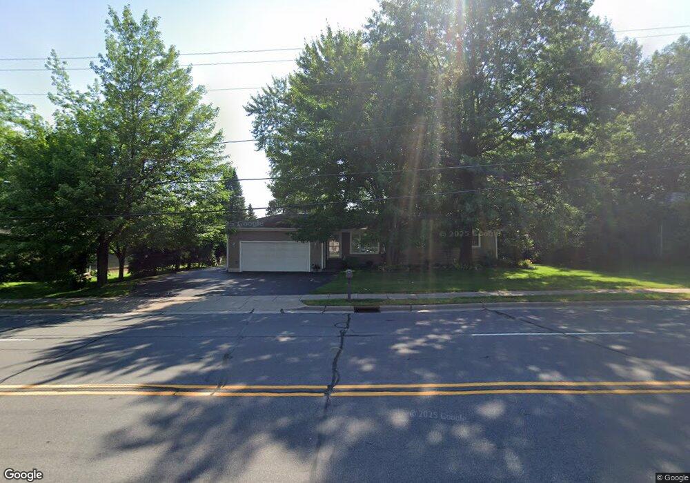
6203 Camp Phillips Rd Schofield, WI 54476
Estimated Value: $234,101 - $271,000
Studio
--
Bath
--
Sq Ft
15,072
Sq Ft
About This Home
This home is located at 6203 Camp Phillips Rd, Schofield, WI 54476 and is currently estimated at $254,275. 6203 Camp Phillips Rd is a home located in Marathon County with nearby schools including Mountain Bay Elementary School, D.C. Everest Junior High School, and D.C. Everest Middle School.
Ownership History
Date
Name
Owned For
Owner Type
Purchase Details
Closed on
May 20, 2012
Sold by
Morien Kenneth A and Morien Joan A
Bought by
Morien John M and Morien Lynette A
Current Estimated Value
Purchase Details
Closed on
May 5, 2012
Sold by
Morien Kenneth A and Morien Joan A
Bought by
Morien Kenneth A and Morien Joan A
Purchase Details
Closed on
Apr 27, 2006
Sold by
Morien Kenneth A and Morien Joan A
Bought by
Morien Kenneth A and Morien Joan A
Create a Home Valuation Report for This Property
The Home Valuation Report is an in-depth analysis detailing your home's value as well as a comparison with similar homes in the area
Home Values in the Area
Average Home Value in this Area
Purchase History
| Date | Buyer | Sale Price | Title Company |
|---|---|---|---|
| Morien John M | -- | None Available | |
| Morien Kenneth A | -- | None Available | |
| Morien Kenneth A | -- | None Available |
Source: Public Records
Tax History
| Year | Tax Paid | Tax Assessment Tax Assessment Total Assessment is a certain percentage of the fair market value that is determined by local assessors to be the total taxable value of land and additions on the property. | Land | Improvement |
|---|---|---|---|---|
| 2025 | $3,104 | $199,100 | $30,200 | $168,900 |
| 2024 | $3,097 | $199,100 | $30,200 | $168,900 |
| 2023 | $2,496 | $111,600 | $30,200 | $81,400 |
| 2022 | $2,610 | $111,600 | $30,200 | $81,400 |
| 2021 | $2,541 | $111,600 | $30,200 | $81,400 |
| 2020 | $2,559 | $111,600 | $30,200 | $81,400 |
| 2019 | $2,477 | $111,600 | $30,200 | $81,400 |
| 2018 | $2,381 | $111,600 | $30,200 | $81,400 |
| 2017 | $2,346 | $111,600 | $30,200 | $81,400 |
| 2016 | $2,314 | $111,600 | $30,200 | $81,400 |
| 2015 | $2,224 | $111,600 | $30,200 | $81,400 |
| 2014 | $2,198 | $111,600 | $30,200 | $81,400 |
Source: Public Records
Map
Nearby Homes
- 6300 Birch St Unit 275
- 6300 Birch St Unit 219
- 5908 Edward St Unit 5910
- 9404 Camp Phillips Rd
- 000 Community Center Dr Unit Parcel 2
- 000 Community Center Dr Unit Parcel 3
- 6206 von Kanel St
- Lot 2 Cedar Ave
- 5210 Camp Phillips Rd
- 4903 & 4905 Annabelle Ct
- 3802 & 3804 Ross Ave
- 5511 Jean Ellen St
- 3006 Barclay Way
- 4702 Ross Ave
- 4702-A Ross Ave
- 5019 Kellyland St
- 2007 Bloedel Ave
- 5902 Coronado Dr
- 8105 Birch St
- 8181 Birch St
- 6105 Camp Phillips Rd
- 6207 Camp Phillips Rd
- 6202 Randy Jay St
- 6108 Randy Jay St
- 6206 Randy Jay St
- 6103 Camp Phillips Rd
- 6211 Camp Phillips Rd
- 6202 Camp Phillips Rd
- 6206 Camp Phillips Rd
- 6104 Randy Jay St
- 6210 Randy Jay St
- 6110 Camp Phillips Rd
- 6210 Camp Phillips Rd
- 6305 Camp Phillips Rd
- 4101 E Jelinek Ave
- 6106 Camp Phillips Rd
- 4006 Monterey Ave
- 6102 Randy Jay St
- 6306 Randy Jay St
- 6109 Randy Jay St
Your Personal Tour Guide
Ask me questions while you tour the home.