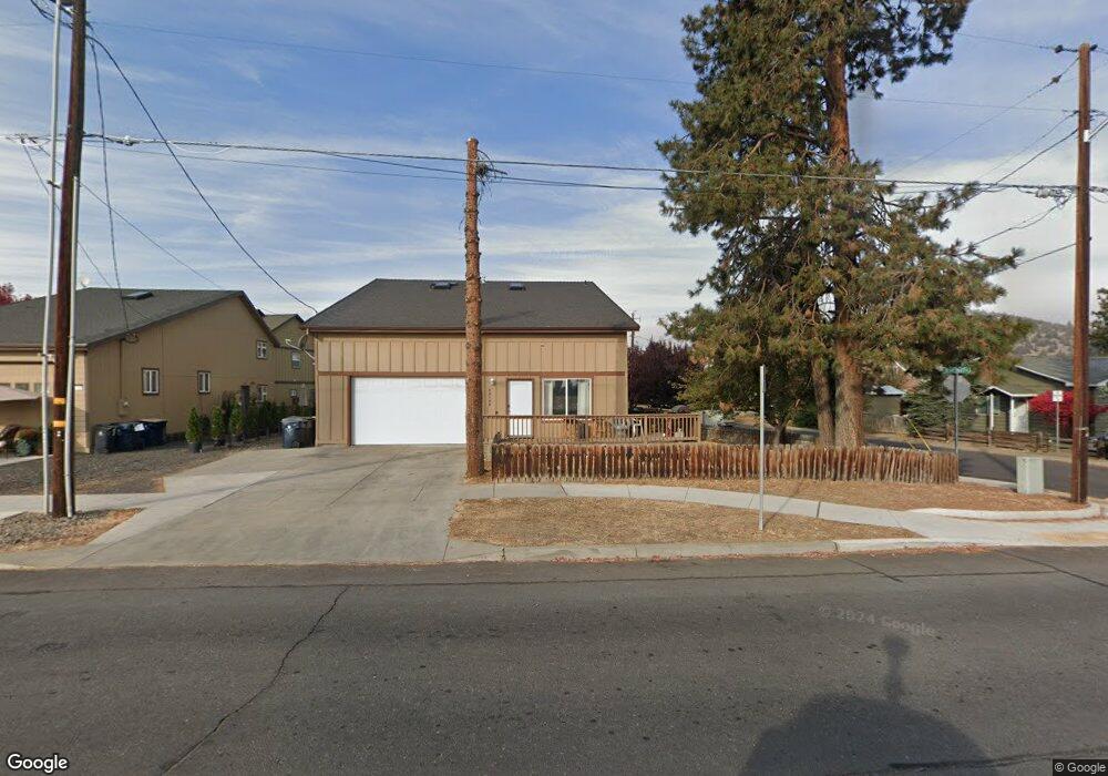
62049 Dean Swift Rd Bend, OR 97701
Larkspur NeighborhoodEstimated Value: $478,000 - $762,000
3
Beds
2
Baths
1,304
Sq Ft
$510/Sq Ft
Est. Value
About This Home
This home is located at 62049 Dean Swift Rd, Bend, OR 97701 and is currently estimated at $665,126, approximately $510 per square foot. 62049 Dean Swift Rd is a home located in Deschutes County with nearby schools including Bear Creek Elementary School, Bend Senior High School, and Eastmont Community School.
Ownership History
Date
Name
Owned For
Owner Type
Purchase Details
Closed on
Jan 3, 2023
Sold by
Marken Robert E
Bought by
Terradoma Properties Llc
Current Estimated Value
Purchase Details
Closed on
Apr 19, 2005
Sold by
Riggan Chad D and Riggan Amy J
Bought by
Marken Robert E
Purchase Details
Closed on
Mar 19, 2004
Sold by
Level Iii Development Corp
Bought by
Riggan Chad D and Riggan Amy J
Home Financials for this Owner
Home Financials are based on the most recent Mortgage that was taken out on this home.
Original Mortgage
$115,278
Interest Rate
5.5%
Mortgage Type
Unknown
Create a Home Valuation Report for This Property
The Home Valuation Report is an in-depth analysis detailing your home's value as well as a comparison with similar homes in the area
Home Values in the Area
Average Home Value in this Area
Purchase History
| Date | Buyer | Sale Price | Title Company |
|---|---|---|---|
| Terradoma Properties Llc | -- | Accommodation/Courtesy Recordi | |
| Marken Robert E | -- | Amerititle | |
| Riggan Chad D | $144,097 | Western Title & Escrow Co |
Source: Public Records
Mortgage History
| Date | Status | Borrower | Loan Amount |
|---|---|---|---|
| Previous Owner | Riggan Chad D | $115,278 | |
| Closed | Riggan Chad D | $28,819 |
Source: Public Records
Tax History Compared to Growth
Tax History
| Year | Tax Paid | Tax Assessment Tax Assessment Total Assessment is a certain percentage of the fair market value that is determined by local assessors to be the total taxable value of land and additions on the property. | Land | Improvement |
|---|---|---|---|---|
| 2025 | $4,885 | $289,090 | -- | -- |
| 2024 | $4,699 | $280,670 | -- | -- |
| 2023 | $4,356 | $272,500 | $0 | $0 |
| 2022 | $4,065 | $256,870 | $0 | $0 |
| 2021 | $4,071 | $249,390 | $0 | $0 |
| 2020 | $3,862 | $249,390 | $0 | $0 |
| 2019 | $3,754 | $242,130 | $0 | $0 |
| 2018 | $3,648 | $235,080 | $0 | $0 |
| 2017 | $3,542 | $228,240 | $0 | $0 |
| 2016 | $3,377 | $221,600 | $0 | $0 |
| 2015 | $3,284 | $215,150 | $0 | $0 |
| 2014 | $3,187 | $208,890 | $0 | $0 |
Source: Public Records
Map
Nearby Homes
- 21019 Carl St
- 62025 NE Nate's Place
- 62001 NE Nates Place
- 98 NE Telima Ln
- 61969 SE 27th St
- 940 NE Purcell Blvd
- 940 NE Paula Dr Unit 21
- 61635 Pettigrew Rd Unit 12
- 61839 Avonlea Cir
- 61807 SE Rolo Ct
- 61847 SE 27th St
- 61839 SE 27th St
- 1072 NE Parkview Ct
- 21489 Oconnor Way Unit 17
- 21493 Oconnor Way Unit 15
- 21491 Oconnor Way Unit 16
- 21495 Oconnor Way Unit 14
- 21323 Oconnor Way
- 20960 Gardenia Ave
- 62085 Wolcott Place
- 21035 Carl St
- 62043 Dean Swift Rd
- 62043 Dean Swift Rd Unit A&B
- 0 Dean Swift Rd
- 21031 Carl St
- 21034 Damascus Ln
- 21041 Don St
- 62063 Dean Swift Rd
- 21027 Carl St
- 21043 Don St
- 62030 Dean Swift Rd
- 62050 Dean Swift Rd
- 62034 Dean Swift Rd
- 62032 Dean Swift Rd
- 62056 Dean Swift Rd
- 21028 Damascus Ln
- 21045 Don St
- 21055 Don St
- 21015 Carl St Unit 11
- 21015 Carl St Unit 10