Estimated Value: $205,000 - $236,000
3
Beds
3
Baths
1,843
Sq Ft
$120/Sq Ft
Est. Value
About This Home
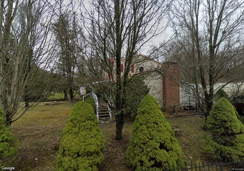
This home is located at 6205 Locust Grove Rd, Wise, VA 24293 and is currently estimated at $221,292, approximately $120 per square foot. 6205 Locust Grove Rd is a home located in Wise County with nearby schools including Wise County Christian School and Minnick Education Center - Wise.
Ownership History
Date
Name
Owned For
Owner Type
Purchase Details
Closed on
Jul 23, 2018
Sold by
Flanary Anne Slemp
Bought by
Flanary Anne S
Current Estimated Value
Create a Home Valuation Report for This Property
The Home Valuation Report is an in-depth analysis detailing your home's value as well as a comparison with similar homes in the area
Home Values in the Area
Average Home Value in this Area
Purchase History
| Date | Buyer | Sale Price | Title Company |
|---|---|---|---|
| Flanary Anne S | -- | None Available |
Source: Public Records
Tax History
| Year | Tax Paid | Tax Assessment Tax Assessment Total Assessment is a certain percentage of the fair market value that is determined by local assessors to be the total taxable value of land and additions on the property. | Land | Improvement |
|---|---|---|---|---|
| 2025 | $988 | $143,200 | $20,000 | $123,200 |
| 2024 | $988 | $143,200 | $20,000 | $123,200 |
| 2023 | $988 | $143,200 | $20,000 | $123,200 |
| 2022 | $988 | $143,200 | $20,000 | $123,200 |
| 2021 | $916 | $132,700 | $20,000 | $112,700 |
| 2020 | $916 | $132,700 | $20,000 | $112,700 |
| 2019 | $916 | $132,700 | $20,000 | $112,700 |
| 2018 | $823 | $132,700 | $20,000 | $112,700 |
| 2017 | $754 | $132,700 | $20,000 | $112,700 |
| 2016 | $754 | $125,600 | $18,000 | $107,600 |
| 2015 | -- | $125,600 | $18,000 | $107,600 |
| 2010 | -- | $117,500 | $15,000 | $102,500 |
Source: Public Records
Map
Nearby Homes
- 6212 Hurricane Rd
- 6140 Hodges St
- 9370 Adwell Rd
- 6023 Crystal Ln
- 505 Lake St NE
- 405 Virginia Ave
- 308 Grant Ave NE
- 6042 Cherry Ln
- Tbd Greenwood Cir
- 1021 Lee St NE
- 135 Modoc Ave NE
- 111 Dale St NW
- 310 Nottingham Ave SE
- 00 Coeburn Mountain Rd
- 5530 Paramont Rd
- TBD Highland St SE
- 235 Glade St SE
- 531 Mullins St NW
- 119 Patterson Ave
- 528 W Main St
- 00 Hurricane Rd
- 6207 Locust Grove Rd
- 851 Hurricane Rd NE
- 856 Hurricane Rd NE
- 847 Hurricane Rd NE
- 6197 Hurricane Rd NE
- 6211 Locust Grove Rd
- 643 Blanton Ave NE
- 6151 Hodges St
- 6198 Hurricane Rd NE
- 846 Hurricane Rd NE
- 845 Hurricane Rd NE
- 639 Blanton Ave NE
- 602 Liberty Ln NE
- 608 Liberty Ln NE
- 6202 Hurricane Rd NE
- 6202 Hurricane Rd
- 6210 Locust Grove Rd
- 836 Hurricane Rd NE
- 835 Hurricane Rd NE Unit A
Your Personal Tour Guide
Ask me questions while you tour the home.