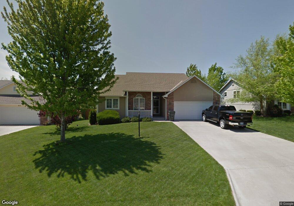
621 Brentwood Dr Lawrence, KS 66049
Estimated Value: $329,000 - $396,000
3
Beds
2
Baths
1,571
Sq Ft
$228/Sq Ft
Est. Value
About This Home
This home is located at 621 Brentwood Dr, Lawrence, KS 66049 and is currently estimated at $358,885, approximately $228 per square foot. 621 Brentwood Dr is a home located in Douglas County with nearby schools including Deerfield Elementary School, West Middle School, and Lawrence Free State High School.
Ownership History
Date
Name
Owned For
Owner Type
Purchase Details
Closed on
Aug 21, 2002
Sold by
Neeley James D and Neeley Kathleen L
Bought by
Grosdidier William M
Current Estimated Value
Home Financials for this Owner
Home Financials are based on the most recent Mortgage that was taken out on this home.
Original Mortgage
$150,750
Outstanding Balance
$58,385
Interest Rate
5.37%
Estimated Equity
$300,500
Create a Home Valuation Report for This Property
The Home Valuation Report is an in-depth analysis detailing your home's value as well as a comparison with similar homes in the area
Home Values in the Area
Average Home Value in this Area
Purchase History
| Date | Buyer | Sale Price | Title Company |
|---|---|---|---|
| Grosdidier William M | -- | -- |
Source: Public Records
Mortgage History
| Date | Status | Borrower | Loan Amount |
|---|---|---|---|
| Open | Grosdidier William M | $150,750 |
Source: Public Records
Tax History Compared to Growth
Tax History
| Year | Tax Paid | Tax Assessment Tax Assessment Total Assessment is a certain percentage of the fair market value that is determined by local assessors to be the total taxable value of land and additions on the property. | Land | Improvement |
|---|---|---|---|---|
| 2025 | $4,832 | $39,560 | $7,475 | $32,085 |
| 2024 | $4,832 | $39,008 | $7,475 | $31,533 |
| 2023 | $4,664 | $36,306 | $6,900 | $29,406 |
| 2022 | $3,956 | $30,665 | $6,900 | $23,765 |
| 2021 | $3,298 | $24,760 | $5,980 | $18,780 |
| 2020 | $3,196 | $24,127 | $5,980 | $18,147 |
| 2019 | $3,086 | $23,334 | $5,060 | $18,274 |
| 2018 | $2,969 | $22,299 | $4,600 | $17,699 |
| 2017 | $2,881 | $21,402 | $4,600 | $16,802 |
| 2016 | $2,656 | $20,631 | $3,680 | $16,951 |
| 2015 | $2,581 | $20,056 | $3,680 | $16,376 |
| 2014 | $2,452 | $19,251 | $3,680 | $15,571 |
Source: Public Records
Map
Nearby Homes
- 2412 Stowe Dr
- 2305 Brett Dr
- 2416 Lancaster Dr
- 3413 Sweetgrass Ct
- 209 Yorkshire Dr
- 229 Deerfield Ln
- Lot 3 Peterson Rd
- Lot 2 Peterson Rd
- 203 Summertree Ln
- 3504 Prairie Clover Ct
- 3508 Prairie Clover Ct
- 3512 Prairie Clover Ct
- 110 Glenview Dr
- 1211 N 1800 Rd
- Lot 5 Weatherhill Cir
- 1316 N 1750 Rd
- 1757 E 1318 Rd
- Lot 6 Weatherhill Cir
- Lot 1 Fall Creek Rd
- 826 N Field Stone Dr
- 617 Brentwood Dr
- 625 Brentwood Dr
- 620 Arrowhead Dr
- 616 Arrowhead Dr
- 624 Arrowhead Dr
- 613 Brentwood Dr
- 629 Brentwood Dr
- 616 Brentwood Dr
- 612 Arrowhead Dr
- 620 Brentwood Dr
- 612 Brentwood Dr
- 633 Brentwood Dr
- 609 Brentwood Dr
- 624 Brentwood Dr
- 608 Brentwood Dr
- 608 Arrowhead Dr
- 621 Arrowhead Dr
- 604 Brentwood Dr
- 617 Arrowhead Dr
- 628 Brentwood Dr