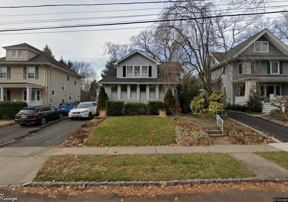
621 Maple St Westfield, NJ 07090
Estimated Value: $882,195 - $1,218,000
Studio
--
Bath
1,698
Sq Ft
$623/Sq Ft
Est. Value
About This Home
This home is located at 621 Maple St, Westfield, NJ 07090 and is currently estimated at $1,057,549, approximately $622 per square foot. 621 Maple St is a home located in Union County with nearby schools including Wilson Elementary School, Roosevelt Intermediate School, and Westfield Senior High School.
Ownership History
Date
Name
Owned For
Owner Type
Purchase Details
Closed on
Jun 25, 2002
Sold by
Fogolin Kathleen and Fetissoff Kathleen
Bought by
Gonzalez Gary and Gonzalez Melissa
Current Estimated Value
Home Financials for this Owner
Home Financials are based on the most recent Mortgage that was taken out on this home.
Original Mortgage
$406,800
Outstanding Balance
$185,756
Interest Rate
7.95%
Estimated Equity
$871,793
Purchase Details
Closed on
Nov 20, 2000
Sold by
Fetissoff Dimitry and Fetissoff Kathleen
Bought by
Fogolin Kathleen and Fetissoff Kathleen
Create a Home Valuation Report for This Property
The Home Valuation Report is an in-depth analysis detailing your home's value as well as a comparison with similar homes in the area
Home Values in the Area
Average Home Value in this Area
Purchase History
| Date | Buyer | Sale Price | Title Company |
|---|---|---|---|
| Gonzalez Gary | $452,000 | -- | |
| Fogolin Kathleen | -- | -- |
Source: Public Records
Mortgage History
| Date | Status | Borrower | Loan Amount |
|---|---|---|---|
| Open | Gonzalez Gary | $406,800 |
Source: Public Records
Tax History
| Year | Tax Paid | Tax Assessment Tax Assessment Total Assessment is a certain percentage of the fair market value that is determined by local assessors to be the total taxable value of land and additions on the property. | Land | Improvement |
|---|---|---|---|---|
| 2025 | $14,431 | $640,800 | $470,600 | $170,200 |
| 2024 | $14,136 | $640,800 | $470,600 | $170,200 |
| 2023 | $14,136 | $640,800 | $470,600 | $170,200 |
| 2022 | $13,841 | $640,800 | $470,600 | $170,200 |
| 2021 | $13,861 | $640,800 | $470,600 | $170,200 |
| 2020 | $13,828 | $640,800 | $470,600 | $170,200 |
| 2019 | $13,777 | $640,800 | $470,600 | $170,200 |
| 2018 | $14,531 | $156,300 | $64,800 | $91,500 |
| 2017 | $14,452 | $156,300 | $64,800 | $91,500 |
| 2016 | $14,112 | $156,300 | $64,800 | $91,500 |
| 2015 | $13,831 | $156,300 | $64,800 | $91,500 |
| 2014 | $13,375 | $156,300 | $64,800 | $91,500 |
Source: Public Records
Map
Nearby Homes
- 645 Kimball Ave
- 621 Kimball Ave
- 553 Parkview Ave
- 756 Kimball Ave
- 771 Oak Ave
- 208 Jefferson Ave
- 634 Lenox Ave
- 825 Grant Ave
- 820 E Broad St
- 629 Tremont Ave
- 910 Highland Ave
- 765 Marcellus Dr
- 424 Saint Marks Ave
- 9 Settlers Ln
- 318 S Euclid Ave
- 735 Castleman Dr
- 260 Prospect St Unit C12
- 4 Cowperthwaite Square
- 529 Benson Place
- 909 Wyandotte Trail
Your Personal Tour Guide
Ask me questions while you tour the home.