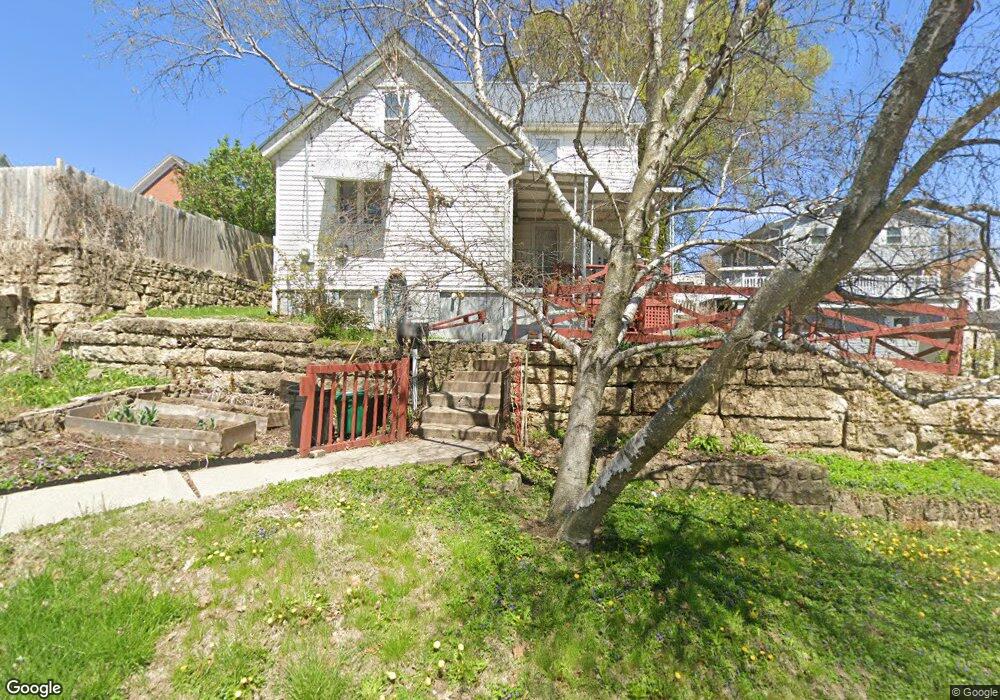
621 Merchants Ln Dubuque, IA 52001
Estimated Value: $200,000 - $236,000
--
Bed
--
Bath
--
Sq Ft
4,008
Sq Ft Lot
About This Home
This home is located at 621 Merchants Ln, Dubuque, IA 52001 and is currently estimated at $218,000. 621 Merchants Ln is a home located in Dubuque County with nearby schools including Irving Elementary School, George Washington Middle School, and Dubuque Senior High School.
Ownership History
Date
Name
Owned For
Owner Type
Purchase Details
Closed on
Jul 1, 2025
Sold by
Heimke Wesley A and Heimke Jodi Lynn
Bought by
Klein Time Investments Llc
Current Estimated Value
Purchase Details
Closed on
Jul 11, 2006
Sold by
The Estate Of Thelma Louise Wood and Wood Thelma L
Bought by
Heimke Wesley A
Home Financials for this Owner
Home Financials are based on the most recent Mortgage that was taken out on this home.
Original Mortgage
$65,500
Interest Rate
6.82%
Mortgage Type
New Conventional
Create a Home Valuation Report for This Property
The Home Valuation Report is an in-depth analysis detailing your home's value as well as a comparison with similar homes in the area
Home Values in the Area
Average Home Value in this Area
Purchase History
| Date | Buyer | Sale Price | Title Company |
|---|---|---|---|
| Klein Time Investments Llc | $84,500 | None Listed On Document | |
| Heimke Wesley A | $66,000 | None Available |
Source: Public Records
Mortgage History
| Date | Status | Borrower | Loan Amount |
|---|---|---|---|
| Previous Owner | Heimke Wesley A | $65,500 |
Source: Public Records
Tax History Compared to Growth
Tax History
| Year | Tax Paid | Tax Assessment Tax Assessment Total Assessment is a certain percentage of the fair market value that is determined by local assessors to be the total taxable value of land and additions on the property. | Land | Improvement |
|---|---|---|---|---|
| 2025 | $260 | $18,900 | $11,700 | $7,200 |
| 2024 | $260 | $18,100 | $11,000 | $7,100 |
| 2023 | $252 | $18,100 | $11,000 | $7,100 |
| 2022 | $202 | $12,210 | $8,280 | $3,930 |
| 2021 | $202 | $12,210 | $8,280 | $3,930 |
| 2020 | $216 | $12,150 | $8,280 | $3,870 |
| 2019 | $206 | $12,150 | $8,280 | $3,870 |
| 2018 | $202 | $11,040 | $7,180 | $3,860 |
| 2017 | $212 | $11,040 | $7,180 | $3,860 |
| 2016 | $212 | $10,980 | $7,180 | $3,800 |
| 2015 | $208 | $10,980 | $7,180 | $3,800 |
| 2014 | $202 | $10,980 | $7,180 | $3,800 |
Source: Public Records
Map
Nearby Homes
- 667 W Locust St
- 410 Unit B Clarke Dr
- 455 Almond St
- 601 Angella St
- 645 Angella St
- 340 Kaufmann Ave
- 337 Kaufmann Ave
- 1951 Madison St
- 1906 Ellis St
- 2071 N Main St
- 1805 Madison St
- 2540 Clarke Crest Dr
- 1765 Madison St
- 364 W Locust St Unit 366 W Locust Street
- 2340 Central Ave
- 1477 Locust St
- 568 Loras Blvd
- 1735 Central Ave
- 2255 Jackson St
- 460 Loras Blvd