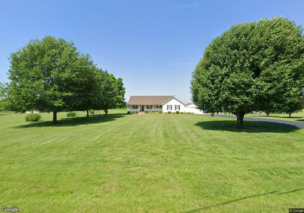
621 Parham Rd Martin, TN 38237
Estimated Value: $230,821 - $284,000
--
Bed
2
Baths
1,570
Sq Ft
$161/Sq Ft
Est. Value
About This Home
This home is located at 621 Parham Rd, Martin, TN 38237 and is currently estimated at $253,205, approximately $161 per square foot. 621 Parham Rd is a home located in Weakley County with nearby schools including Unity Christian School.
Ownership History
Date
Name
Owned For
Owner Type
Purchase Details
Closed on
Jul 27, 2009
Sold by
Fuqua Bennie Goad
Bought by
Norris James Scott
Current Estimated Value
Purchase Details
Closed on
May 6, 2005
Sold by
Fuqua Eddie T
Bought by
Scott Norris James
Home Financials for this Owner
Home Financials are based on the most recent Mortgage that was taken out on this home.
Original Mortgage
$110,127
Interest Rate
5.88%
Mortgage Type
Cash
Purchase Details
Closed on
Apr 4, 1991
Bought by
Fuqua Eddie T and Fuqua Pamela
Create a Home Valuation Report for This Property
The Home Valuation Report is an in-depth analysis detailing your home's value as well as a comparison with similar homes in the area
Home Values in the Area
Average Home Value in this Area
Purchase History
| Date | Buyer | Sale Price | Title Company |
|---|---|---|---|
| Norris James Scott | $3,051 | -- | |
| Scott Norris James | $111,000 | -- | |
| Fuqua Eddie T | $2,300 | -- |
Source: Public Records
Mortgage History
| Date | Status | Borrower | Loan Amount |
|---|---|---|---|
| Previous Owner | Fuqua Eddie T | $110,127 |
Source: Public Records
Tax History Compared to Growth
Tax History
| Year | Tax Paid | Tax Assessment Tax Assessment Total Assessment is a certain percentage of the fair market value that is determined by local assessors to be the total taxable value of land and additions on the property. | Land | Improvement |
|---|---|---|---|---|
| 2024 | $702 | $51,200 | $5,975 | $45,225 |
| 2023 | $702 | $51,200 | $5,975 | $45,225 |
| 2022 | $620 | $31,425 | $6,175 | $25,250 |
| 2021 | $620 | $31,425 | $6,175 | $25,250 |
| 2020 | $620 | $31,425 | $6,175 | $25,250 |
| 2019 | $620 | $31,425 | $6,175 | $25,250 |
| 2018 | $620 | $31,425 | $6,175 | $25,250 |
| 2017 | $672 | $31,550 | $5,375 | $26,175 |
| 2016 | $672 | $31,550 | $0 | $0 |
| 2015 | $672 | $31,537 | $0 | $0 |
| 2014 | $672 | $31,537 | $0 | $0 |
Source: Public Records
Map
Nearby Homes
- 141 Oak St
- 120 Shadow Wood Cove
- 112 Landrum Dr
- 1217 Hyndsver Rd
- 146 Maywood Dr
- 0 Hamilton Dr
- 826 N Lindell St
- 828 N Lindell St
- 151 Cherokee Dr
- 0 N Lindell St Unit RRA38831
- 0 N Lindell St Unit 176005
- 0 N Lindell St Unit RRA45211
- 0 N Lindell St Unit RRA45193
- 0 N Lindell St
- 12276 Highway 45
- 124 Cherokee Dr
- 297 Stover Rd
- 0 Fulton St
- 2001 Hyndsver Rd
- 1404 K St