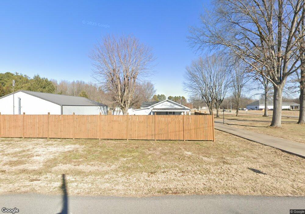
621 Payne Rd Portland, TN 37148
Estimated Value: $316,786 - $449,000
--
Bed
2
Baths
1,474
Sq Ft
$250/Sq Ft
Est. Value
About This Home
This home is located at 621 Payne Rd, Portland, TN 37148 and is currently estimated at $368,197, approximately $249 per square foot. 621 Payne Rd is a home located in Sumner County with nearby schools including Portland Gateview Elementary School, Portland West Middle School, and Portland High School.
Ownership History
Date
Name
Owned For
Owner Type
Purchase Details
Closed on
Apr 16, 2025
Sold by
Vanatta Matthew Wayne
Bought by
Kelly Philip
Current Estimated Value
Purchase Details
Closed on
Feb 17, 2025
Sold by
Henson Robert N and Henson Lynn M
Bought by
Vanatta Matthew W
Purchase Details
Closed on
Jun 5, 1997
Sold by
Harris Wanda Gale
Bought by
Henson Robert N and Henson Lynn M
Home Financials for this Owner
Home Financials are based on the most recent Mortgage that was taken out on this home.
Original Mortgage
$90,798
Interest Rate
8.13%
Mortgage Type
FHA
Create a Home Valuation Report for This Property
The Home Valuation Report is an in-depth analysis detailing your home's value as well as a comparison with similar homes in the area
Home Values in the Area
Average Home Value in this Area
Purchase History
| Date | Buyer | Sale Price | Title Company |
|---|---|---|---|
| Kelly Philip | -- | None Listed On Document | |
| Vanatta Matthew W | -- | None Listed On Document | |
| Henson Robert N | $91,000 | Beaty Title Company |
Source: Public Records
Mortgage History
| Date | Status | Borrower | Loan Amount |
|---|---|---|---|
| Previous Owner | Henson Robert N | $90,798 |
Source: Public Records
Tax History Compared to Growth
Tax History
| Year | Tax Paid | Tax Assessment Tax Assessment Total Assessment is a certain percentage of the fair market value that is determined by local assessors to be the total taxable value of land and additions on the property. | Land | Improvement |
|---|---|---|---|---|
| 2024 | $1,389 | $97,725 | $16,250 | $81,475 |
| 2023 | $1,720 | $50,400 | $9,775 | $40,625 |
| 2022 | $1,463 | $44,050 | $9,775 | $34,275 |
| 2021 | $1,463 | $44,050 | $9,775 | $34,275 |
| 2020 | $1,463 | $44,050 | $9,775 | $34,275 |
| 2019 | $1,463 | $0 | $0 | $0 |
| 2018 | $1,297 | $0 | $0 | $0 |
| 2017 | $1,230 | $0 | $0 | $0 |
| 2016 | $1,230 | $0 | $0 | $0 |
| 2015 | -- | $0 | $0 | $0 |
| 2014 | -- | $0 | $0 | $0 |
Source: Public Records
Map
Nearby Homes
- 510 W Market St
- 0 Searcy Ln Unit RTC2756307
- 216 Strawberry St
- 202 Derek Ct
- 208 Strawberry St
- 410 Church St
- 406 Church St
- 408 Church St
- 207 Strawberry St
- 302 Church St
- 207 Center St
- 408 W Mcglothlin St
- 410 College St
- 305 Church St
- 301 Church St
- 117 Church St
- 104 Morningside Dr
- 202 College St
- 205 College St
- 113 Morningside Dr
- 619A Payne Rd
- 617 Payne Rd
- 701 Payne Rd
- 500 Tennessee 52
- W Market St
- 611 W Market St
- 609 W Market St
- 607 W Market St
- 605 W Market St
- 730 Payne Rd
- 739 Payne Rd
- 412 Highway 52 W
- 601 W Market St
- 520 W Market St
- 518 W Market St
- 0 Highway 52 West W Unit RTC2032773
- 0 Highway 52 West W Unit RTC2144300
- 203 Kerr Way
- 204 Kerr Way
- 105 W B Dye Rd