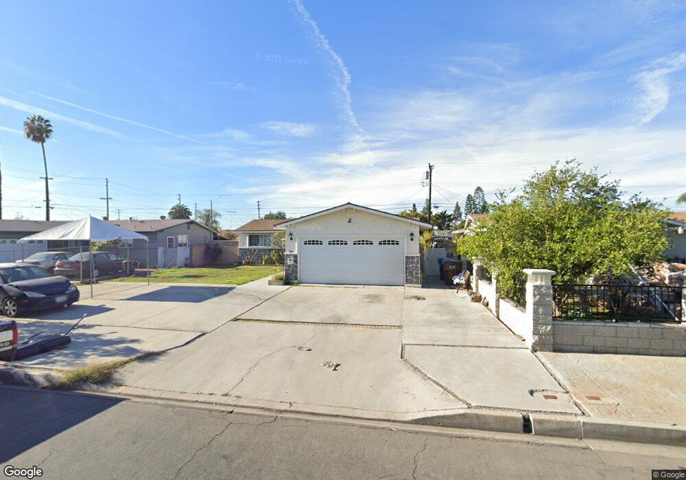
621 Sandy Hook Ave La Puente, CA 91744
West Puente Valley NeighborhoodEstimated Value: $728,000 - $806,000
3
Beds
2
Baths
1,106
Sq Ft
$682/Sq Ft
Est. Value
About This Home
This home is located at 621 Sandy Hook Ave, La Puente, CA 91744 and is currently estimated at $753,910, approximately $681 per square foot. 621 Sandy Hook Ave is a home located in Los Angeles County with nearby schools including Sparks Elementary School, Sparks Middle School, and La Puente High School.
Ownership History
Date
Name
Owned For
Owner Type
Purchase Details
Closed on
Jul 19, 2005
Sold by
Hypolite Carmen L and Estate Of Adele N Legaspi
Bought by
Rodarte Alfredo
Current Estimated Value
Home Financials for this Owner
Home Financials are based on the most recent Mortgage that was taken out on this home.
Original Mortgage
$308,000
Outstanding Balance
$164,296
Interest Rate
6%
Mortgage Type
New Conventional
Estimated Equity
$589,614
Create a Home Valuation Report for This Property
The Home Valuation Report is an in-depth analysis detailing your home's value as well as a comparison with similar homes in the area
Home Values in the Area
Average Home Value in this Area
Purchase History
| Date | Buyer | Sale Price | Title Company |
|---|---|---|---|
| Rodarte Alfredo | $385,000 | Commonwealth Title | |
| Rodarte Alfredo | -- | Commonwealth Title |
Source: Public Records
Mortgage History
| Date | Status | Borrower | Loan Amount |
|---|---|---|---|
| Open | Rodarte Alfredo | $308,000 |
Source: Public Records
Tax History
| Year | Tax Paid | Tax Assessment Tax Assessment Total Assessment is a certain percentage of the fair market value that is determined by local assessors to be the total taxable value of land and additions on the property. | Land | Improvement |
|---|---|---|---|---|
| 2025 | $6,544 | $526,113 | $389,467 | $136,646 |
| 2024 | $6,544 | $515,798 | $381,831 | $133,967 |
| 2023 | $6,378 | $505,686 | $374,345 | $131,341 |
| 2022 | $6,192 | $495,771 | $367,005 | $128,766 |
| 2021 | $6,085 | $486,051 | $359,809 | $126,242 |
| 2019 | $5,910 | $471,637 | $349,138 | $122,499 |
| 2018 | $5,686 | $462,391 | $342,293 | $120,098 |
| 2016 | $4,916 | $412,000 | $305,000 | $107,000 |
| 2015 | $4,892 | $412,000 | $305,000 | $107,000 |
| 2014 | $4,398 | $366,000 | $271,000 | $95,000 |
Source: Public Records
Map
Nearby Homes
- 509 Sandy Hook Ave
- 15145 Beckner St
- 14952 Prichard St
- 14641 Lassalette St
- 938 Evanwood Ave
- 932 Shadydale Ave
- 15014 Ragus St
- 14537 Flanner St
- 1133 Aldgate Ave
- 611 Santo Oro Ave
- 15426 Hayland St
- 14309 Beckner St
- 15509 Amar Rd
- 1020 League Ave
- 902 Ballista Ave
- 15625 Loukelton St
- 536 Sandsprings Dr
- 1115 League Ave
- 15747 Victoria Ave
- 1420 Glenshaw Dr
- 615 Sandy Hook Ave
- 627 Sandy Hook Ave
- 624 Foxworth Ave
- 633 Sandy Hook Ave
- 609 Sandy Hook Ave
- 618 Foxworth Ave
- 630 Foxworth Ave
- 620 Sandy Hook Ave
- 612 Foxworth Ave
- 636 Foxworth Ave
- 626 Sandy Hook Ave
- 614 Sandy Hook Ave
- 639 Sandy Hook Ave
- 14945 Temple Ave
- 608 Sandy Hook Ave
- 632 Sandy Hook Ave
- 642 Foxworth Ave
- 14931 Temple Ave
- 645 Sandy Hook Ave
- 638 Sandy Hook Ave
Your Personal Tour Guide
Ask me questions while you tour the home.