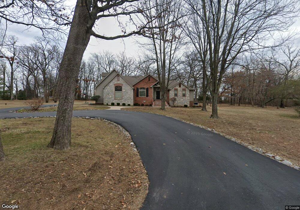
6211 Garrett Ln Rogers, AR 72758
Estimated Value: $617,000 - $1,014,000
--
Bed
2
Baths
2,464
Sq Ft
$304/Sq Ft
Est. Value
About This Home
This home is located at 6211 Garrett Ln, Rogers, AR 72758 and is currently estimated at $749,265, approximately $304 per square foot. 6211 Garrett Ln is a home located in Benton County with nearby schools including Janie Darr Elementary School, Elmwood Middle School, and Rogers High School.
Ownership History
Date
Name
Owned For
Owner Type
Purchase Details
Closed on
Feb 23, 2011
Sold by
Wanger Fred R and Wanger Brenda S
Bought by
Wanger Fred R and Wanger Brenda S
Current Estimated Value
Purchase Details
Closed on
Apr 6, 1998
Bought by
Wanger Tr
Purchase Details
Closed on
Mar 18, 1998
Bought by
Wanger
Purchase Details
Closed on
Sep 17, 1997
Bought by
Wanger Tr
Purchase Details
Closed on
Nov 12, 1996
Bought by
Wanger
Create a Home Valuation Report for This Property
The Home Valuation Report is an in-depth analysis detailing your home's value as well as a comparison with similar homes in the area
Home Values in the Area
Average Home Value in this Area
Purchase History
| Date | Buyer | Sale Price | Title Company |
|---|---|---|---|
| Wanger Fred R | -- | None Available | |
| Wanger Tr | -- | -- | |
| Wanger | -- | -- | |
| Wanger Tr | -- | -- | |
| Wanger | $40,000 | -- |
Source: Public Records
Tax History Compared to Growth
Tax History
| Year | Tax Paid | Tax Assessment Tax Assessment Total Assessment is a certain percentage of the fair market value that is determined by local assessors to be the total taxable value of land and additions on the property. | Land | Improvement |
|---|---|---|---|---|
| 2025 | $3,003 | $136,574 | $62,250 | $74,324 |
| 2024 | $2,930 | $136,574 | $62,250 | $74,324 |
| 2023 | $2,930 | $74,700 | $29,880 | $44,820 |
| 2022 | $2,671 | $74,700 | $29,880 | $44,820 |
| 2021 | $2,664 | $74,700 | $29,880 | $44,820 |
| 2020 | $2,666 | $65,790 | $32,870 | $32,920 |
| 2019 | $2,666 | $65,790 | $32,870 | $32,920 |
| 2018 | $2,691 | $65,790 | $32,870 | $32,920 |
| 2017 | $2,525 | $65,790 | $32,870 | $32,920 |
| 2016 | $2,525 | $65,790 | $32,870 | $32,920 |
| 2015 | $2,930 | $61,720 | $14,940 | $46,780 |
| 2014 | $2,847 | $61,720 | $14,940 | $46,780 |
Source: Public Records
Map
Nearby Homes
- 4587 W Garrett Rd
- 6098 S Pack Ln
- Single Family Portfo Group 1
- 6400 S 46th Blvd
- Single Family Portfo Group 2
- 6099 S Pack Ln
- TBD S Pack Ln
- 4116 W Erin Dr
- 4109 W Candlewood Place
- 4112 W Erin Dr
- 4114 W Erin Dr
- 4110 W Erin Dr
- 6510 S 49th St
- 4108 W Erin Dr
- 4107 W Murfield Dr
- 6253 S Mount Hebron Rd
- 4105 W Murfield Dr
- 4503 W Canopy Meadows Dr
- 6401 S 42nd St
- 4402 W Canopy Meadows Dr
- 6210 S Garrett Ln
- 6210 Garrett Ln
- 6252 S Garrett Ln
- 6252 Garrett Ln
- 4614 Garrett Rd
- 6263 Garrett Ln
- 4532 Garrett Rd
- 0 10846 S 45th St
- 4759 Garrett Rd
- 6274 Garrett Ln
- 4554 W Garrett Rd
- 4590 W Garrett Rd
- 6295 Garrett Ln
- 4555 W Garrett Rd
- 4511 W Buckeye Dr
- 4510 Garrett Rd
- 6286 Garrett Ln
- 4509 W Buckeye Dr
- 4403 W Murfield Dr
- 4402 W Murfield Dr