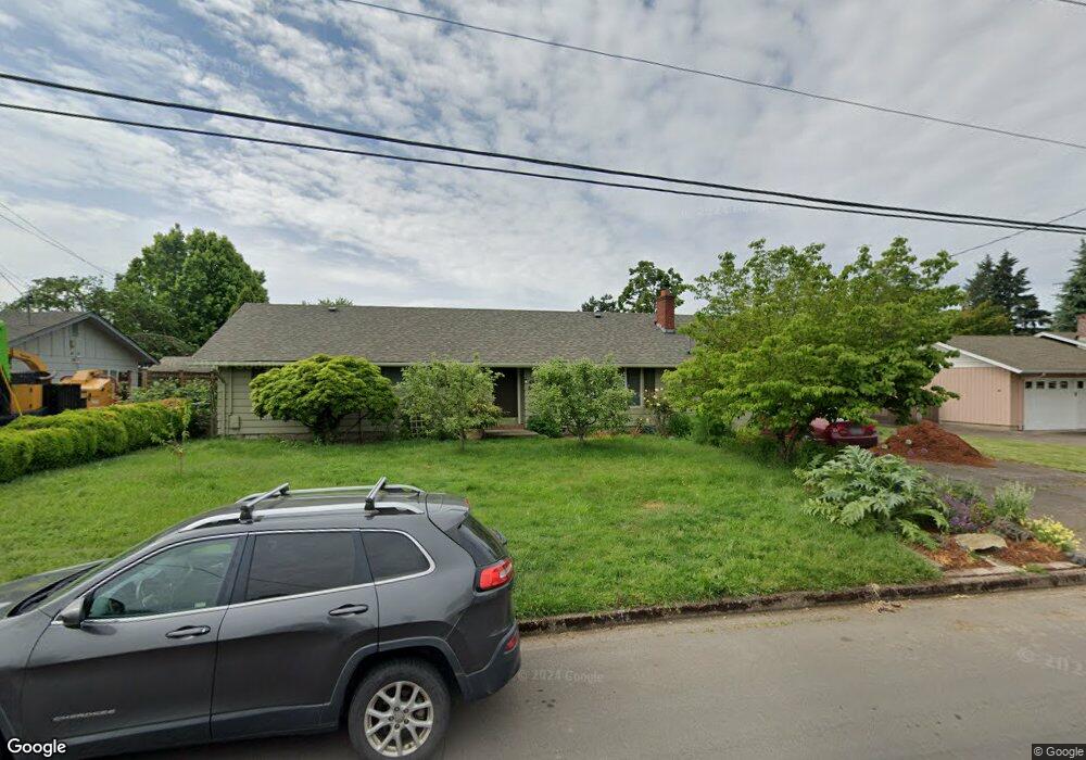
622 Greenfield Ave Eugene, OR 97404
Santa Clara NeighborhoodEstimated Value: $393,313 - $461,000
3
Beds
2
Baths
1,392
Sq Ft
$304/Sq Ft
Est. Value
About This Home
This home is located at 622 Greenfield Ave, Eugene, OR 97404 and is currently estimated at $423,078, approximately $303 per square foot. 622 Greenfield Ave is a home located in Lane County with nearby schools including Spring Creek Elementary School, Madison Middle School, and North Eugene High School.
Ownership History
Date
Name
Owned For
Owner Type
Purchase Details
Closed on
Nov 30, 2016
Sold by
Carlson Keith
Bought by
Stillie Richard A and Stillie Bonnie J
Current Estimated Value
Home Financials for this Owner
Home Financials are based on the most recent Mortgage that was taken out on this home.
Original Mortgage
$184,000
Interest Rate
4.13%
Mortgage Type
New Conventional
Purchase Details
Closed on
May 5, 2016
Sold by
Carlson Keith Aaron Leid and Forsyth Luisa Silvana
Bought by
Carlson Keith
Create a Home Valuation Report for This Property
The Home Valuation Report is an in-depth analysis detailing your home's value as well as a comparison with similar homes in the area
Home Values in the Area
Average Home Value in this Area
Purchase History
| Date | Buyer | Sale Price | Title Company |
|---|---|---|---|
| Stillie Richard A | $230,000 | First American Title | |
| Carlson Keith | -- | None Available |
Source: Public Records
Mortgage History
| Date | Status | Borrower | Loan Amount |
|---|---|---|---|
| Previous Owner | Stillie Richard A | $184,000 |
Source: Public Records
Tax History
| Year | Tax Paid | Tax Assessment Tax Assessment Total Assessment is a certain percentage of the fair market value that is determined by local assessors to be the total taxable value of land and additions on the property. | Land | Improvement |
|---|---|---|---|---|
| 2025 | $2,760 | $215,653 | -- | -- |
| 2024 | $2,746 | $209,372 | -- | -- |
| 2023 | $2,746 | $203,274 | $0 | $0 |
| 2022 | $2,581 | $197,354 | $0 | $0 |
| 2021 | $2,368 | $191,606 | $0 | $0 |
| 2020 | $2,412 | $186,026 | $0 | $0 |
| 2019 | $2,323 | $180,608 | $0 | $0 |
| 2018 | $2,139 | $170,241 | $0 | $0 |
| 2017 | $2,007 | $170,241 | $0 | $0 |
| 2016 | $1,880 | $165,283 | $0 | $0 |
| 2015 | $1,836 | $160,469 | $0 | $0 |
| 2014 | $1,702 | $155,795 | $0 | $0 |
Source: Public Records
Map
Nearby Homes
- 835 Bobolink Ave
- 2937 Stark St
- 374 Blackfoot Ave
- 2721 La Darrah St
- 2740 Stark St
- 349 Irving Rd
- 2563 York St
- 3007 River Rd
- 2987 Dry Creek Rd
- 200 Irving Rd
- 591 Argon Ave
- 190 River Loop 1
- 215 Jonquil Ave
- 2931 Shelby Way
- 303 Lenore Loop
- 1284 Alderbrook Ln
- 2488 Northampton
- 3365 Goose Cross Ln
- 193 Santa Clara Ave
- 3884 Shenstone Dr
- 3028 Brett Loop
- 590 Greenfield Ave
- 666 Greenfield Ave
- 3036 Brett Loop
- 3024 Brett Loop
- 3112 Myrna Ave
- 3044 Brett Loop
- 548 Greenfield Ave
- 3111 Myrna Ave
- 3095 Crocker Rd
- 3018 Brett Loop
- 3059 Crocker Rd
- 675 Greenfield Ave
- 3056 Brett Loop
- 3110 Marvin Dr
- 3124 Myrna Ave
- 3011 Brett Loop
- 3123 Myrna Ave
- 500 Greenfield Ave
- 3037 Crocker Rd
Your Personal Tour Guide
Ask me questions while you tour the home.