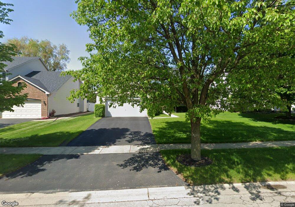
622 Manhattan Cir Oswego, IL 60543
Northwest Oswego NeighborhoodEstimated Value: $437,000 - $452,901
4
Beds
3
Baths
2,755
Sq Ft
$162/Sq Ft
Est. Value
About This Home
This home is located at 622 Manhattan Cir, Oswego, IL 60543 and is currently estimated at $445,475, approximately $161 per square foot. 622 Manhattan Cir is a home located in Kendall County with nearby schools including Fox Chase Elementary School, Traughber Junior High School, and Oswego High School.
Ownership History
Date
Name
Owned For
Owner Type
Purchase Details
Closed on
Feb 25, 2005
Sold by
Richard Smykal Inc
Bought by
Glover King S and Glover Rachel R
Current Estimated Value
Home Financials for this Owner
Home Financials are based on the most recent Mortgage that was taken out on this home.
Original Mortgage
$231,200
Outstanding Balance
$117,988
Interest Rate
5.71%
Mortgage Type
New Conventional
Estimated Equity
$327,487
Create a Home Valuation Report for This Property
The Home Valuation Report is an in-depth analysis detailing your home's value as well as a comparison with similar homes in the area
Home Values in the Area
Average Home Value in this Area
Purchase History
| Date | Buyer | Sale Price | Title Company |
|---|---|---|---|
| Glover King S | $289,000 | Chicago Title Insurance Co |
Source: Public Records
Mortgage History
| Date | Status | Borrower | Loan Amount |
|---|---|---|---|
| Open | Glover King S | $231,200 | |
| Closed | Glover King S | $43,350 |
Source: Public Records
Tax History
| Year | Tax Paid | Tax Assessment Tax Assessment Total Assessment is a certain percentage of the fair market value that is determined by local assessors to be the total taxable value of land and additions on the property. | Land | Improvement |
|---|---|---|---|---|
| 2024 | $10,095 | $131,450 | $22,647 | $108,803 |
| 2023 | $9,095 | $116,328 | $20,042 | $96,286 |
| 2022 | $9,095 | $106,723 | $18,387 | $88,336 |
| 2021 | $9,040 | $102,618 | $17,680 | $84,938 |
| 2020 | $8,756 | $98,671 | $17,000 | $81,671 |
| 2019 | $8,594 | $95,530 | $17,000 | $78,530 |
| 2018 | $8,837 | $97,363 | $25,664 | $71,699 |
| 2017 | $8,542 | $89,324 | $23,545 | $65,779 |
| 2016 | $8,396 | $86,722 | $22,859 | $63,863 |
| 2015 | $8,270 | $81,813 | $21,565 | $60,248 |
| 2014 | -- | $77,182 | $20,344 | $56,838 |
| 2013 | -- | $77,961 | $20,549 | $57,412 |
Source: Public Records
Map
Nearby Homes
- 303 Fox Chase Dr N
- 404 Beaver Ct Unit 3
- 435 Fawn Dr
- 149 Willowwood Dr N
- 2300 Light Rd Unit 209
- 2600 Light Rd Unit 210
- 2600 Light Rd Unit 207
- 316 Ash Grove Ln
- 1415 State Route 31
- 7.43 Acres Vacant La State Route 31
- 123 Fox Chase Dr S
- 238 Willowwood Dr
- 5.43 B-3 Commercial State Route 31
- 116 River Mist Dr
- 505 Parkland Ct
- 133 River Mist Dr Unit 3
- 135 River Mist Dr Unit 2
- 125 Presidential Blvd Unit 3248
- 2110 State Route 31
- 2240 State Route 31
- 620 Manhattan Cir Unit 2
- 624 Manhattan Cir
- 171 Dolores St
- 626 Manhattan Cir
- 618 Manhattan Cir Unit 2
- 169 Dolores St
- 623 Manhattan Cir Unit 2
- 175 Dolores St
- 167 Century Dr Unit 2
- 625 Manhattan Cir Unit 2
- 628 Manhattan Cir Unit 2
- 627 Manhattan Cir Unit 2
- 619 Manhattan Cir Unit 2
- 177 Dolores St
- 630 Manhattan Cir Unit 2
- 616 Manhattan Cir Unit 2
- 172 Dolores St
- 179 Dolores St
- 165 Dolores St Unit 2
- 822 Columbus Dr
Your Personal Tour Guide
Ask me questions while you tour the home.