622 Strand St Carlsbad, CA 92011
South Beach NeighborhoodEstimated Value: $2,093,096 - $2,218,000
About This Home
This home is located at 622 Strand St, Carlsbad, CA 92011 and is currently estimated at $2,143,774, approximately $868 per square foot. 622 Strand St is a home located in San Diego County with nearby schools including Pacific Rim Elementary, Aviara Oaks Middle, and Carlsbad High School.
Ownership History
We collect this data history from publicly available records. To have your information removed, we recommend requesting removal directly through your county’s website.
Purchase Details
Purchase Details
Purchase Details
Home Values in the Area
Average Home Value in this Area
Purchase History
We collect this data history from publicly available records. To have your information removed, we recommend requesting removal directly through your county’s website.
| Date | Buyer | Sale Price | Title Company |
|---|---|---|---|
| -- | None Available | ||
| -- | None Available | ||
| $683,000 | Fidelity National Title Co |
Tax History
We collect this data history from publicly available records. To have your information removed, we recommend requesting removal directly through your county’s website.
| Year | Tax Paid | Tax Assessment Tax Assessment Total Assessment is a certain percentage of the fair market value that is determined by local assessors to be the total taxable value of land and additions on the property. | Land | Improvement |
|---|---|---|---|---|
| 2025 | $10,844 | $951,753 | $376,348 | $575,405 |
| 2024 | $10,844 | $933,092 | $368,969 | $564,123 |
| 2023 | $10,794 | $914,797 | $361,735 | $553,062 |
| 2022 | $10,641 | $896,861 | $354,643 | $542,218 |
| 2021 | $10,567 | $879,277 | $347,690 | $531,587 |
| 2020 | $10,502 | $870,262 | $344,125 | $526,137 |
| 2019 | $10,328 | $853,199 | $337,378 | $515,821 |
| 2018 | $9,928 | $836,470 | $330,763 | $505,707 |
| 2017 | $90 | $820,070 | $324,278 | $495,792 |
| 2016 | $9,419 | $803,991 | $317,920 | $486,071 |
| 2015 | $9,385 | $791,915 | $313,145 | $478,770 |
| 2014 | $9,243 | $776,403 | $307,011 | $469,392 |
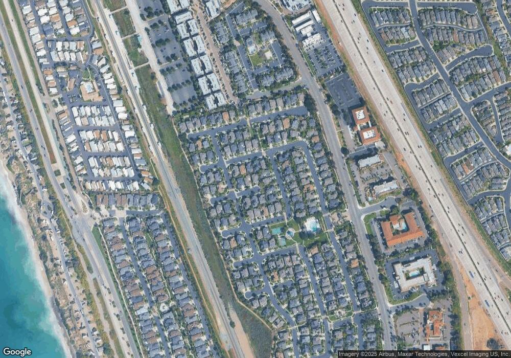
Map
- 6937 Waters End Dr
- 6550 Ponto Dr Unit 143
- 6550 Ponto Dr Unit 17
- 6550 Ponto Dr Unit 76
- 6550 Ponto Dr Unit 78
- 6550 Ponto Dr Unit 75
- 6550 Ponto Dr Unit 14
- 6550 Ponto Dr Unit 5
- 6550 Ponto Dr Unit 114
- 6550 Ponto Dr Unit SPC 39
- 6550 Ponto Dr Unit 154
- 6933 Catamaran Dr
- 836 Windcrest Dr
- 808 Caminito Azul
- 6512 Surfside Ln
- 811 Caminito Del Sol
- 816 Caminito Del Sol
- 6757 Heath Ct
- 6717 Clover Ct
- 7209 San Luis St Unit 169
- 636 Sandside Ct
- 632 Sandside Ct
- 628 Sandside Ct
- 635 Seaward Ave
- 642 Sandside Ct
- 641 Seaward Ave
- 631 Seaward Ave
- 633 Sandside Ct
- 624 Sandside Ct
- 637 Sandside Ct
- 646 Sandside Ct
- 645 Seaward Ave
- 629 Sandside Ct
- 627 Seaward Ave
- 625 Sandside Ct
- 620 Sandside Ct
- 649 Seaward Ave
- 650 Sandside Ct
- 6916 Clearwater St
- 6919 Clearwater St
Ask me questions while you tour the home.