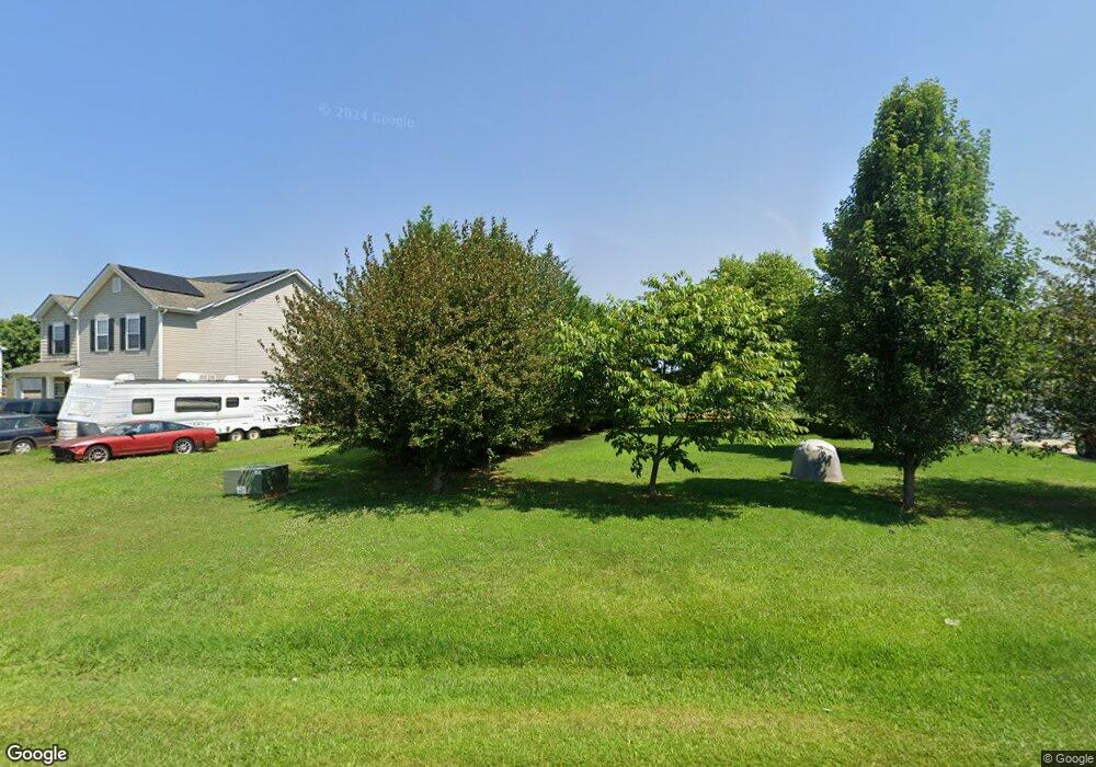
6220 Old Highway Rd Unit 10 Waxhaw, NC 28173
Estimated Value: $459,000 - $696,000
3
Beds
3
Baths
2,402
Sq Ft
$225/Sq Ft
Est. Value
About This Home
This home is located at 6220 Old Highway Rd Unit 10, Waxhaw, NC 28173 and is currently estimated at $540,251, approximately $224 per square foot. 6220 Old Highway Rd Unit 10 is a home located in Union County with nearby schools including Prospect Elementary School, Parkwood Middle School, and Parkwood High School.
Ownership History
Date
Name
Owned For
Owner Type
Purchase Details
Closed on
Oct 22, 2014
Sold by
Pinnacle Homes Usa Llc
Bought by
Stanton Joseph M and Stanton Hilda
Current Estimated Value
Home Financials for this Owner
Home Financials are based on the most recent Mortgage that was taken out on this home.
Original Mortgage
$196,938
Outstanding Balance
$151,259
Interest Rate
4.15%
Mortgage Type
New Conventional
Estimated Equity
$388,992
Create a Home Valuation Report for This Property
The Home Valuation Report is an in-depth analysis detailing your home's value as well as a comparison with similar homes in the area
Home Values in the Area
Average Home Value in this Area
Purchase History
| Date | Buyer | Sale Price | Title Company |
|---|---|---|---|
| Stanton Joseph M | $193,000 | Integrated Title Svcs Llc |
Source: Public Records
Mortgage History
| Date | Status | Borrower | Loan Amount |
|---|---|---|---|
| Open | Stanton Joseph M | $196,938 |
Source: Public Records
Tax History Compared to Growth
Tax History
| Year | Tax Paid | Tax Assessment Tax Assessment Total Assessment is a certain percentage of the fair market value that is determined by local assessors to be the total taxable value of land and additions on the property. | Land | Improvement |
|---|---|---|---|---|
| 2024 | $1,997 | $312,900 | $27,700 | $285,200 |
| 2023 | $1,965 | $312,900 | $27,700 | $285,200 |
| 2022 | $1,965 | $312,900 | $27,700 | $285,200 |
| 2021 | $1,930 | $312,900 | $27,700 | $285,200 |
| 2020 | $1,556 | $201,740 | $18,640 | $183,100 |
| 2019 | $1,574 | $201,740 | $18,640 | $183,100 |
| 2018 | $1,574 | $201,740 | $18,640 | $183,100 |
| 2017 | $1,675 | $201,700 | $18,600 | $183,100 |
| 2016 | $1,608 | $201,740 | $18,640 | $183,100 |
| 2015 | $1,630 | $201,740 | $18,640 | $183,100 |
| 2014 | -- | $0 | $0 | $0 |
Source: Public Records
Map
Nearby Homes
- 5105 Tom Starnes Rd
- 7517 Lancaster Hwy Unit 5
- 7517 Lancaster Hwy
- Roanoke Plan at Lancaster Hwy
- Charleston Plan at Lancaster Hwy
- 7513 Lancaster Hwy Unit 6
- 7513 Lancaster Hwy
- 110 Serenity Creek Dr
- 106 Serenity Creek Dr
- 0 Potter Rd S Unit 1 CAR4189512
- 0 Potter Rd S Unit 3 CAR4189516
- 0 Potter Rd S Unit 2 CAR4189515
- 0 Potter Rd S Unit CAR4189519
- 0 Potter Rd S Unit CAR4189518
- 6419 Lancaster Hwy Unit 9, 19
- 5904 Nesbit Rd
- 5313 Old Highway Rd
- 0 Nesbit Rd Unit CAR4290917
- 5904 Mcwhorter Rd
- 4805 Nesbit Rd
- 6216 Old Highway Rd Unit 11
- 6224 Old Highway Rd Unit 9
- 6300 Old Highway Rd
- 6212 Old Highway Rd
- 6212 Old Highway Rd Unit 12
- 6215 Old Highway Rd
- 6211 Old Highway Rd
- 6219 Old Highway Rd
- 6306 Old Highway Rd
- 6303 Old Highway Rd
- 7207 Lancaster Hwy
- 7215 Lancaster Hwy
- 7205 Lancaster Hwy
- 7201 Lancaster Hwy
- 7119 Lancaster Hwy
- 7115 Lancaster Hwy
- 7115 Lancaster Hwy Unit 5
- 5018 Tom Starnes Rd
- 5020 Tom Starnes Rd
- 7307 Lancaster Hwy