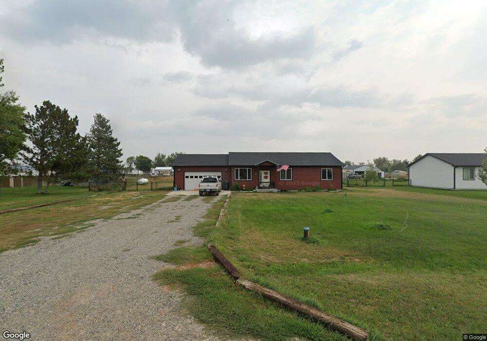
6223 Dawson Dr Billings, MT 59105
Estimated Value: $379,000 - $455,000
3
Beds
2
Baths
1,316
Sq Ft
$314/Sq Ft
Est. Value
About This Home
This home is located at 6223 Dawson Dr, Billings, MT 59105 and is currently estimated at $412,660, approximately $313 per square foot. 6223 Dawson Dr is a home with nearby schools including Shepherd Elementary School, Shepherd Middle School, and Shepherd High School.
Ownership History
Date
Name
Owned For
Owner Type
Purchase Details
Closed on
Sep 30, 2021
Sold by
Cl6 Properties Llc
Bought by
Garon Andrew D and Garon Kelsey S
Current Estimated Value
Home Financials for this Owner
Home Financials are based on the most recent Mortgage that was taken out on this home.
Original Mortgage
$322,222
Outstanding Balance
$293,836
Interest Rate
2.8%
Mortgage Type
New Conventional
Estimated Equity
$116,818
Create a Home Valuation Report for This Property
The Home Valuation Report is an in-depth analysis detailing your home's value as well as a comparison with similar homes in the area
Home Values in the Area
Average Home Value in this Area
Purchase History
| Date | Buyer | Sale Price | Title Company |
|---|---|---|---|
| Garon Andrew D | -- | First Montana Title Company |
Source: Public Records
Mortgage History
| Date | Status | Borrower | Loan Amount |
|---|---|---|---|
| Open | Garon Andrew D | $322,222 |
Source: Public Records
Tax History Compared to Growth
Tax History
| Year | Tax Paid | Tax Assessment Tax Assessment Total Assessment is a certain percentage of the fair market value that is determined by local assessors to be the total taxable value of land and additions on the property. | Land | Improvement |
|---|---|---|---|---|
| 2025 | $2,900 | $346,800 | $65,344 | $281,456 |
| 2024 | $2,900 | $334,500 | $53,264 | $281,236 |
| 2023 | $2,805 | $334,500 | $53,264 | $281,236 |
| 2022 | $2,345 | $248,100 | $39,880 | $208,220 |
| 2021 | $579 | $61,070 | $0 | $0 |
| 2020 | $399 | $40,594 | $0 | $0 |
| 2019 | $329 | $40,594 | $0 | $0 |
| 2018 | $363 | $42,210 | $0 | $0 |
| 2017 | $356 | $42,210 | $0 | $0 |
| 2016 | $362 | $44,826 | $0 | $0 |
| 2015 | $366 | $44,826 | $0 | $0 |
| 2014 | $313 | $20,249 | $0 | $0 |
Source: Public Records
Map
Nearby Homes
- 4820 Maribrooke Rd
- 4935 Lewies Way
- 6447 US Highway 312
- 5510 Powmer Rd
- 5840,5850,5904 Lunder Ln
- 7133 Mustang Rd
- 5358 Yeoman Rd
- 6634 Killdeer Ln
- L13B2 High Noon Dr
- L11B3 High Noon Dr
- L5B4 Trumbo Cir
- L11B2 Rio Lobo Cir
- L3B4 Trumbo Cir
- L12B3 Molly Dr
- L12B2 High Noon Dr
- L2B4 True Grit St
- L10B3 High Noon Dr
- L4B4 Trumbo Cir
- 7306 Kendra Lynn Dr
- L13B3 Molly Dr
- 6213 Dawson Dr
- 6243 Dawson Dr
- 6220 Dawson Dr
- 6234 Dawson Dr
- 6205 Dawson Dr
- 6142 Dawson Dr
- 6240 Dawson Dr
- 6230 Horsethief Ln
- 6240 Horsethief Ln
- 6250 Horsethief Ln
- 6225 Horsethief Ln
- 6235 Horsethief Ln
- 6215 Horsethief Ln
- 6330 Horsethief Ln
- 6243 Hofferber Rd
- 6347 Dawson Dr
- 6106 Dawson Dr
- 4908 Homer Davis Rd
- 6333 Horsethief Ln
- 5201 Chicago Rd