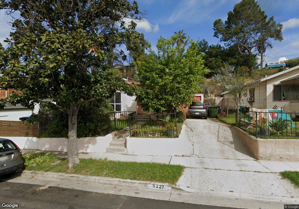
6227 Strickland Ave Los Angeles, CA 90042
Estimated Value: $819,382 - $980,000
2
Beds
1
Bath
804
Sq Ft
$1,124/Sq Ft
Est. Value
About This Home
This home is located at 6227 Strickland Ave, Los Angeles, CA 90042 and is currently estimated at $903,346, approximately $1,123 per square foot. 6227 Strickland Ave is a home located in Los Angeles County with nearby schools including Annandale Elementary, Luther Burbank Middle School, and Eagle Rock High School.
Ownership History
Date
Name
Owned For
Owner Type
Purchase Details
Closed on
Dec 3, 2008
Sold by
Duarte Juana J and De Torres Maria Elena Cuevas
Bought by
Jurado Martin C
Current Estimated Value
Purchase Details
Closed on
Oct 28, 2008
Sold by
Torres Pedro
Bought by
Detorres Maria Elena Cuevas
Purchase Details
Closed on
Nov 16, 1995
Sold by
Cuevas Genoveva
Bought by
Detorres Maria Elena Cuevas and Duarte Juana J
Create a Home Valuation Report for This Property
The Home Valuation Report is an in-depth analysis detailing your home's value as well as a comparison with similar homes in the area
Home Values in the Area
Average Home Value in this Area
Purchase History
| Date | Buyer | Sale Price | Title Company |
|---|---|---|---|
| Jurado Martin C | -- | Fidelity National Title | |
| Detorres Maria Elena Cuevas | -- | Fidelity National Title | |
| Detorres Maria Elena Cuevas | -- | -- |
Source: Public Records
Tax History Compared to Growth
Tax History
| Year | Tax Paid | Tax Assessment Tax Assessment Total Assessment is a certain percentage of the fair market value that is determined by local assessors to be the total taxable value of land and additions on the property. | Land | Improvement |
|---|---|---|---|---|
| 2025 | $2,325 | $184,748 | $128,922 | $55,826 |
| 2024 | $2,325 | $181,127 | $126,395 | $54,732 |
| 2023 | $2,282 | $177,576 | $123,917 | $53,659 |
| 2022 | $2,176 | $174,095 | $121,488 | $52,607 |
| 2021 | $2,147 | $170,682 | $119,106 | $51,576 |
| 2019 | $2,083 | $165,622 | $115,574 | $50,048 |
| 2018 | $2,062 | $162,375 | $113,308 | $49,067 |
| 2016 | $1,965 | $156,071 | $108,909 | $47,162 |
| 2015 | $1,937 | $153,728 | $107,274 | $46,454 |
| 2014 | $1,952 | $150,718 | $105,173 | $45,545 |
Source: Public Records
Map
Nearby Homes
- 6155 Poppy Peak Dr
- 6150 Strickland Ave
- 6134 Strickland Ave
- 6149 Annan Way
- 6119 Strickland Ave
- 6048 Burwood Ave
- 6849 N Figueroa St
- 6050 Burwood Ave
- 1522 N Mercury Dr
- 523 Oleander Dr
- 1465 Washburn Rd
- 1525 La Loma Rd
- 1450 La Loma Rd
- 1726 La Loma Rd
- 1705 La Loma Rd
- 1124 Highgrove Terrace
- 1059 Glen Arbor Ave
- 5829 Tipton Way
- 5847 Burwood Ave
- 1869 Kaweah Dr
- 6231 Strickland Ave
- 6223 Strickland Ave
- 6235 Strickland Ave
- 6219 Strickland Ave
- 6215 Strickland Ave
- 6239 Strickland Ave
- 6224 Poppy Peak Dr
- 6230 Poppy Peak Dr
- 6218 Poppy Peak Dr
- 6209 Strickland Ave
- 6226 Strickland Ave
- 6243 Strickland Ave
- 6212 Poppy Peak Dr
- 6222 Strickland Ave
- 6230 Strickland Ave
- 6218 Strickland Ave
- 6234 Strickland Ave
- 6205 Strickland Ave
- 6214 Strickland Ave
- 6208 Poppy Peak Dr