Estimated Value: $535,000 - $964,710
3
Beds
3
Baths
2,498
Sq Ft
$300/Sq Ft
Est. Value
About This Home
This home is located at 62302 Lower Cove Rd, Cove, OR 97824 and is currently estimated at $749,855, approximately $300 per square foot. 62302 Lower Cove Rd is a home located in Union County with nearby schools including Cove Charter School and Grande Ronde Mennonite.
Ownership History
Date
Name
Owned For
Owner Type
Purchase Details
Closed on
Feb 3, 2016
Sold by
Courtney John C and Courtney Leslie D
Bought by
Parrish Michgael D and Parrish Linda C
Current Estimated Value
Create a Home Valuation Report for This Property
The Home Valuation Report is an in-depth analysis detailing your home's value as well as a comparison with similar homes in the area
Home Values in the Area
Average Home Value in this Area
Purchase History
| Date | Buyer | Sale Price | Title Company |
|---|---|---|---|
| Parrish Michgael D | $520,000 | Estern Oregon Inc |
Source: Public Records
Tax History Compared to Growth
Tax History
| Year | Tax Paid | Tax Assessment Tax Assessment Total Assessment is a certain percentage of the fair market value that is determined by local assessors to be the total taxable value of land and additions on the property. | Land | Improvement |
|---|---|---|---|---|
| 2025 | $2,724 | $282,859 | $80,189 | $202,670 |
| 2024 | $2,646 | $274,760 | $77,990 | $196,770 |
| 2023 | $2,571 | $266,960 | $75,920 | $191,040 |
| 2022 | $2,499 | $259,485 | $73,991 | $185,494 |
| 2021 | $2,428 | $252,105 | $72,013 | $180,092 |
| 2020 | $2,270 | $235,783 | $70,092 | $165,691 |
| 2019 | $2,206 | $229,093 | $68,227 | $160,866 |
| 2018 | $2,144 | $222,598 | $66,417 | $156,181 |
| 2017 | $2,083 | $216,293 | $64,660 | $151,633 |
| 2016 | $2,024 | $210,170 | $62,953 | $147,217 |
| 2015 | $1,854 | $204,227 | $61,297 | $142,930 |
| 2014 | $1,854 | $194,938 | $59,588 | $135,350 |
| 2013 | $2,008 | $196,546 | $57,686 | $138,860 |
Source: Public Records
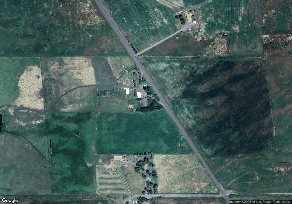
Map
Nearby Homes
- 69431 Antles Ln
- 69431 Antles Ln Unit 1
- 0 Antles Ln Unit 436244681
- 69717 Antles Ln
- 0 Conklin Ln Unit 232609065
- 301 High Valley Rd
- 0 Rose Ridge Rd Unit 3
- 0 Rose Ridge Rd Unit 1
- 0 Rose Ridge Rd Unit 22290306
- 0 Rose Ridge Rd Unit 2
- 59926 Comstock Rd
- 61938 High Valley Rd
- 141 E Bryan Ave
- 1137 N Bellwood St
- 650 E Chestnut St
- 527 S Dewey St
- 845 W Arch St
- 746 W Arch St
- 306 S Main St
- 558 E Fulton St