6236 State Line Rd Springfield, TN 37172
Estimated Value: $892,000 - $1,294,900
Studio
2
Baths
3,892
Sq Ft
$281/Sq Ft
Est. Value
About This Home
This home is located at 6236 State Line Rd, Springfield, TN 37172 and is currently estimated at $1,093,450, approximately $280 per square foot. 6236 State Line Rd is a home located in Robertson County with nearby schools including Krisle Elementary School, Innovation Academy, and Springfield High School.
Ownership History
Date
Name
Owned For
Owner Type
Purchase Details
Closed on
Jul 29, 2003
Sold by
Albert Fuqua
Bought by
Mcwhirter Tippens Eleanor
Current Estimated Value
Purchase Details
Closed on
Jul 15, 2003
Sold by
Albert Fuqua
Bought by
Mcwhirter Tippens Eleanor
Purchase Details
Closed on
Oct 30, 2001
Sold by
Albert Fuqua
Bought by
Albert Fuqua
Purchase Details
Closed on
Jun 15, 1981
Bought by
Fuqua Albert
Purchase Details
Closed on
Apr 20, 1964
Create a Home Valuation Report for This Property
The Home Valuation Report is an in-depth analysis detailing your home's value as well as a comparison with similar homes in the area
Home Values in the Area
Average Home Value in this Area
Purchase History
| Date | Buyer | Sale Price | Title Company |
|---|---|---|---|
| Mcwhirter Tippens Eleanor | -- | -- | |
| Mcwhirter Tippens Eleanor | $15,600 | -- | |
| Albert Fuqua | -- | -- | |
| Fuqua Albert | -- | -- | |
| -- | -- | -- |
Source: Public Records
Tax History
| Year | Tax Paid | Tax Assessment Tax Assessment Total Assessment is a certain percentage of the fair market value that is determined by local assessors to be the total taxable value of land and additions on the property. | Land | Improvement |
|---|---|---|---|---|
| 2025 | $3,802 | $211,250 | $60,800 | $150,450 |
| 2024 | $3,802 | $211,250 | $60,800 | $150,450 |
| 2023 | $3,108 | $211,250 | $60,800 | $150,450 |
| 2022 | $2,735 | $107,325 | $42,150 | $65,175 |
| 2021 | $1,788 | $107,325 | $42,150 | $65,175 |
| 2020 | $1,758 | $69,400 | $30,825 | $38,575 |
| 2019 | $1,758 | $69,400 | $30,825 | $38,575 |
| 2018 | $1,758 | $69,400 | $30,825 | $38,575 |
| 2017 | $1,704 | $55,250 | $24,150 | $31,100 |
| 2016 | $1,704 | $55,250 | $24,150 | $31,100 |
| 2015 | $1,635 | $55,250 | $24,150 | $31,100 |
| 2014 | $1,625 | $54,900 | $24,150 | $30,750 |
Source: Public Records
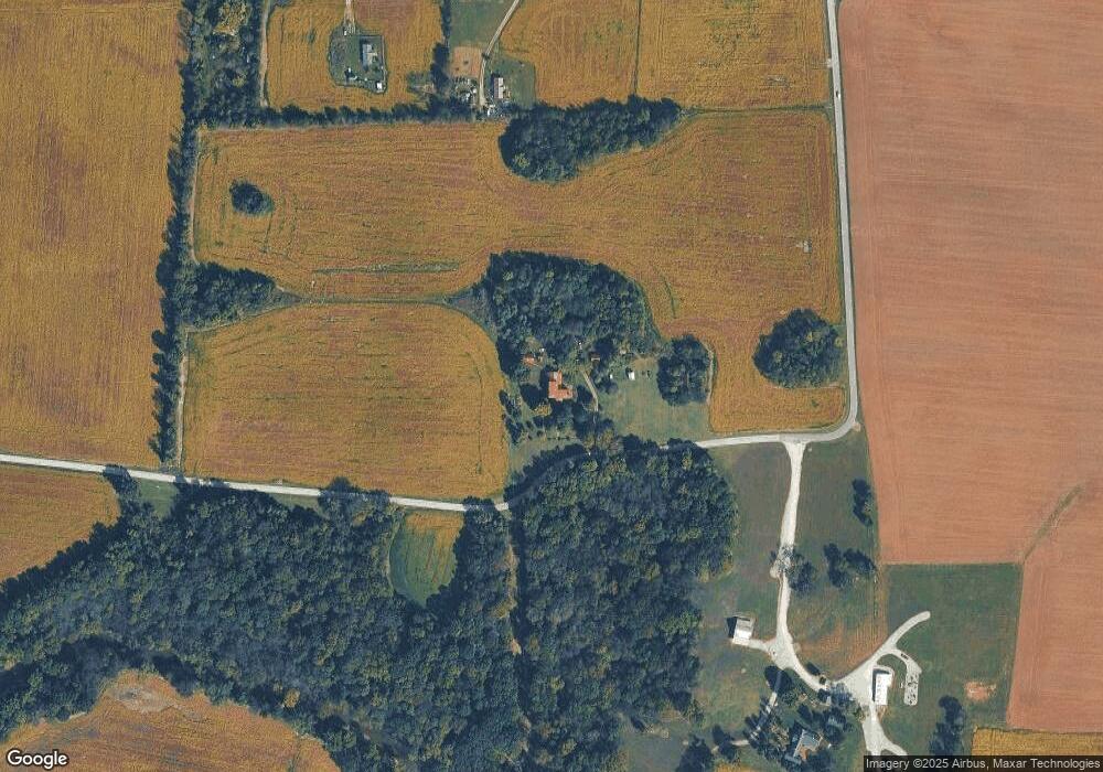
Map
Nearby Homes
- 5867 Borthick Rd
- 6538 Highway 431 N
- 5345 Ashburn Rd
- 233 E Gallatin St
- 290 Old Russellville Loop
- 305 W Gallatin St
- 5654 Borthick Rd
- 131 Smith Ave
- 5558 Borthick Rd
- 5969 S Lamont Rd
- 5219 Adairville Rd
- 7027 Cowan Rd
- 6056 S Lamont Rd
- 6160 Underwood Rd
- 1968 Schley Rd
- 0 N Pitt Rd Unit 10
- 6348 S Lamont Rd
- 6437 Hopewell Rd
- 000 Adairville Rd
- 29490 Highway 49 E
Your Personal Tour Guide
Ask me questions while you tour the home.