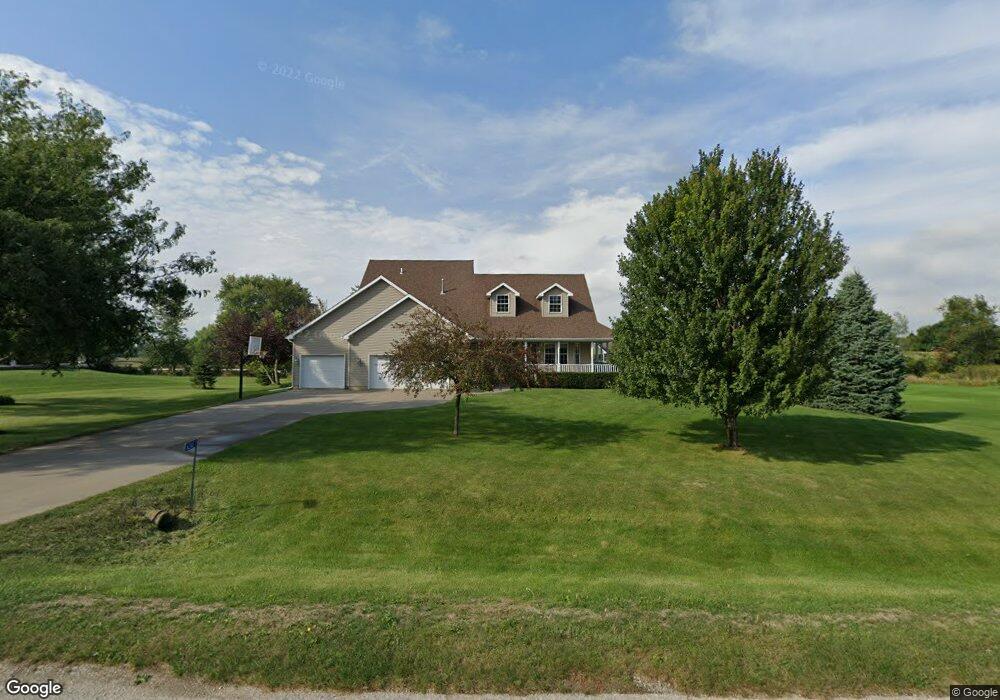
6240 Wayside Cir Cedar Rapids, IA 52411
Estimated Value: $479,000 - $589,314
4
Beds
4
Baths
3,516
Sq Ft
$151/Sq Ft
Est. Value
About This Home
This home is located at 6240 Wayside Cir, Cedar Rapids, IA 52411 and is currently estimated at $532,579, approximately $151 per square foot. 6240 Wayside Cir is a home located in Linn County with nearby schools including Viola Gibson Elementary School, Harding Middle School, and John F. Kennedy High School.
Ownership History
Date
Name
Owned For
Owner Type
Purchase Details
Closed on
Dec 17, 2025
Sold by
Cummings Chris P and Cummings Angela M
Bought by
Chris P Cummings And Angela M Cummings Living and Cummings
Current Estimated Value
Purchase Details
Closed on
Jul 16, 2009
Sold by
Kayser John D and Kayser Sarah M
Bought by
Cummings Chris P and Cummings Angela M
Home Financials for this Owner
Home Financials are based on the most recent Mortgage that was taken out on this home.
Original Mortgage
$332,000
Interest Rate
5.49%
Mortgage Type
Purchase Money Mortgage
Purchase Details
Closed on
Jun 26, 2002
Sold by
Koester Charles J and Koester Karen K
Bought by
Kayser John D and Kayser Sarah M
Home Financials for this Owner
Home Financials are based on the most recent Mortgage that was taken out on this home.
Original Mortgage
$214,320
Interest Rate
6.93%
Create a Home Valuation Report for This Property
The Home Valuation Report is an in-depth analysis detailing your home's value as well as a comparison with similar homes in the area
Purchase History
| Date | Buyer | Sale Price | Title Company |
|---|---|---|---|
| Chris P Cummings And Angela M Cummings Living | -- | None Listed On Document | |
| Cummings Chris P | $309,500 | None Available | |
| Kayser John D | $267,500 | -- |
Source: Public Records
Mortgage History
| Date | Status | Borrower | Loan Amount |
|---|---|---|---|
| Previous Owner | Cummings Chris P | $332,000 | |
| Previous Owner | Kayser John D | $214,320 | |
| Closed | Kayser John D | $40,185 |
Source: Public Records
Tax History
| Year | Tax Paid | Tax Assessment Tax Assessment Total Assessment is a certain percentage of the fair market value that is determined by local assessors to be the total taxable value of land and additions on the property. | Land | Improvement |
|---|---|---|---|---|
| 2025 | $5,432 | $549,800 | $65,000 | $484,800 |
| 2024 | $5,062 | $486,900 | $65,000 | $421,900 |
| 2023 | $5,062 | $486,900 | $65,000 | $421,900 |
| 2022 | $5,000 | $370,400 | $65,000 | $305,400 |
| 2021 | $5,220 | $370,400 | $65,000 | $305,400 |
| 2020 | $5,220 | $357,500 | $50,000 | $307,500 |
| 2019 | $4,748 | $357,500 | $50,000 | $307,500 |
| 2018 | $4,644 | $332,800 | $50,000 | $282,800 |
| 2017 | $4,710 | $323,400 | $50,000 | $273,400 |
| 2016 | $4,723 | $323,400 | $50,000 | $273,400 |
| 2015 | $4,559 | $310,300 | $50,000 | $260,300 |
| 2014 | $4,430 | $310,300 | $50,000 | $260,300 |
| 2013 | $4,338 | $310,300 | $50,000 | $260,300 |
Source: Public Records
Map
Nearby Homes
- 6524 Michael Dr NE
- 6718 Lauder Ln
- 4675 Leprechaun Ln
- 6720 Caldwell Ln
- 4021 Maple Ridge Ct NE
- 4911 Windy Meadow Cir NE
- 5843 Wells Ln
- 4638 Blossom View Ct NE
- 5854 Wells Ln
- 6001 Ridgewood Meadows Ln NE
- 5012 Autumn Dr
- 4362 Cloverdale Rd
- 5924 Gibson Dr NE
- 6505 Blairs Ferry Rd
- 2385 Wolf Creek Trail
- 50 Ridgewood Dr
- 344 Worthington Ct
- 4620 Prairie Stone Dr NE
- 4408 Prairie Stone Dr NE
- 4510 Prairie Stone Dr NE
- 6300 Wayside Cir
- 6201 Rapids Ridge Rd NE
- 6207 Rapids Ridge Rd NE
- 6213 Rapids Ridge Rd
- 6180 Wayside Cir
- 6133 Rapids Ridge Rd NE
- 6215 Wayside Cir
- 6224 Rapids Ridge Rd
- 6219 Rapids Ridge Rd
- 6275 Wayside Cir
- 6330 Wayside Cir
- 6225 Rapids Ridge Rd NE
- 6524 Michael Dr
- 6121 Rapids Ridge Rd
- 6136 Rapids Ridge Rd NE
- 6518 Michael Dr
- 6375 Wayside Cir
- 6150 Wayside Cir
- 6125 Wayside Cir
- 6231 Rapids Ridge Rd NE
Your Personal Tour Guide
Ask me questions while you tour the home.