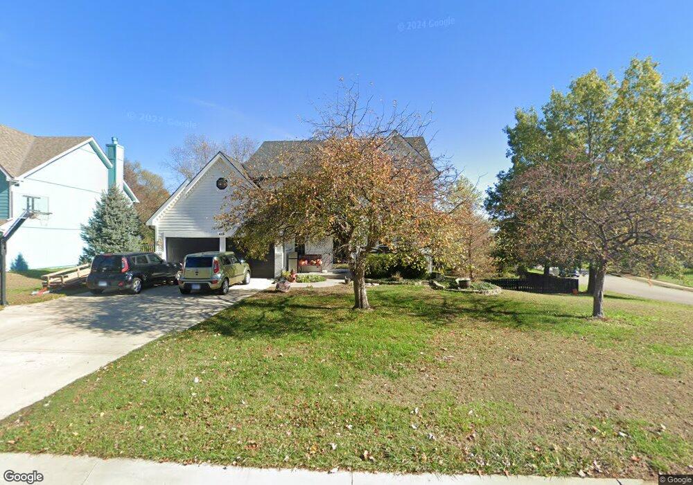
625 Bittersweet Rd Lansing, KS 66043
Estimated Value: $377,000 - $393,000
4
Beds
4
Baths
2,116
Sq Ft
$181/Sq Ft
Est. Value
About This Home
This home is located at 625 Bittersweet Rd, Lansing, KS 66043 and is currently estimated at $382,759, approximately $180 per square foot. 625 Bittersweet Rd is a home located in Leavenworth County with nearby schools including Lansing Elementary School, Lansing Middle 6-8, and Lansing High 9-12.
Ownership History
Date
Name
Owned For
Owner Type
Purchase Details
Closed on
May 1, 2002
Bought by
Schneider Richard D and Schneider Lori B
Current Estimated Value
Home Financials for this Owner
Home Financials are based on the most recent Mortgage that was taken out on this home.
Original Mortgage
$198,310
Outstanding Balance
$108,844
Interest Rate
4%
Mortgage Type
FHA
Estimated Equity
$273,915
Create a Home Valuation Report for This Property
The Home Valuation Report is an in-depth analysis detailing your home's value as well as a comparison with similar homes in the area
Home Values in the Area
Average Home Value in this Area
Purchase History
| Date | Buyer | Sale Price | Title Company |
|---|---|---|---|
| Schneider Richard D | $176,500 | -- |
Source: Public Records
Mortgage History
| Date | Status | Borrower | Loan Amount |
|---|---|---|---|
| Open | Schneider Richard D | $198,310 | |
| Closed | Schneider Richard D | $47,300 |
Source: Public Records
Tax History Compared to Growth
Tax History
| Year | Tax Paid | Tax Assessment Tax Assessment Total Assessment is a certain percentage of the fair market value that is determined by local assessors to be the total taxable value of land and additions on the property. | Land | Improvement |
|---|---|---|---|---|
| 2025 | $5,373 | $42,912 | $5,697 | $37,215 |
| 2024 | $5,373 | $41,262 | $4,547 | $36,715 |
| 2023 | $5,373 | $41,262 | $4,547 | $36,715 |
| 2022 | $4,059 | $37,375 | $3,758 | $33,617 |
| 2021 | $4,059 | $28,209 | $3,758 | $24,451 |
| 2020 | $3,820 | $26,139 | $3,758 | $22,381 |
| 2019 | $3,679 | $25,150 | $3,758 | $21,392 |
| 2018 | $3,372 | $23,092 | $3,179 | $19,913 |
| 2017 | $3,247 | $22,195 | $3,179 | $19,016 |
| 2016 | $3,175 | $21,701 | $3,179 | $18,522 |
| 2015 | $3,038 | $20,836 | $3,179 | $17,657 |
| 2014 | $2,871 | $20,120 | $3,179 | $16,941 |
Source: Public Records
Map
Nearby Homes
- 527 S Valley Dr
- 922 Southfork St
- 104 Olive St
- 811 4-H Rd
- 202 S Main St
- 124 S Main St
- 522 Forestglen Ln
- 20958 Ida St
- 218 E Kay St
- 546 Hithergreen Dr
- 129 Crestview Ct
- 306 E Kay St
- 866 Clearview Dr
- 875 Clearview Dr
- 310 E Kansas Ave
- 521 Hillbrook Dr
- 1221 S Desoto Rd
- 1322 Rock Creek Ct
- 129 Brookwood St
- 833 Rock Creek Dr
- 625 S Bittersweet Ln
- 621 Bittersweet Rd
- 829 Blueberry St
- 701 Bittersweet Rd
- 831 Blueberry St
- 619 Bittersweet Rd
- 827 Blueberry St
- 624 Bittersweet Rd
- 825 Blueberry St
- 620 Bittersweet Rd
- 705 Bittersweet Rd
- 705 S Bittersweet Ct
- 613 Bittersweet Rd
- 329 Maple Ln
- 613 S Bittersweet Ln
- 00000 Maple Ln
- 700 Bittersweet Rd
- 618 Bittersweet Rd
- 823 Blueberry St
- 327 Maple Ln