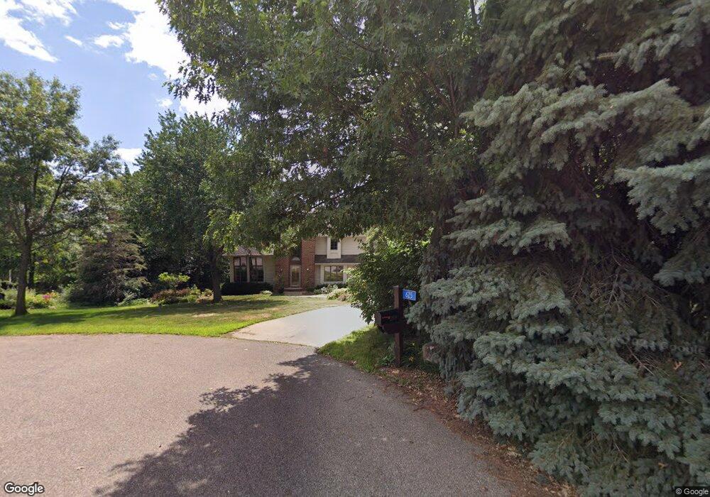
625 Bluebill Cir Shakopee, MN 55379
Estimated Value: $772,000 - $960,000
4
Beds
4
Baths
3,608
Sq Ft
$240/Sq Ft
Est. Value
About This Home
This home is located at 625 Bluebill Cir, Shakopee, MN 55379 and is currently estimated at $865,887, approximately $239 per square foot. 625 Bluebill Cir is a home located in Scott County with nearby schools including Sweeney Elementary School, East Middle School, and Shakopee Senior High School.
Ownership History
Date
Name
Owned For
Owner Type
Purchase Details
Closed on
Dec 15, 2021
Sold by
Tollefsrud Neil E and Tollefsrud Deborah A
Bought by
Borns Christopher and Borns Estefania
Current Estimated Value
Home Financials for this Owner
Home Financials are based on the most recent Mortgage that was taken out on this home.
Original Mortgage
$625,000
Outstanding Balance
$574,682
Interest Rate
3.09%
Mortgage Type
New Conventional
Estimated Equity
$291,205
Purchase Details
Closed on
Dec 10, 1997
Sold by
Newell Charles H and Newell Jennifer L
Bought by
Tollefsfud Neil and Tollefsfud Deborah
Create a Home Valuation Report for This Property
The Home Valuation Report is an in-depth analysis detailing your home's value as well as a comparison with similar homes in the area
Home Values in the Area
Average Home Value in this Area
Purchase History
| Date | Buyer | Sale Price | Title Company |
|---|---|---|---|
| Borns Christopher | $802,500 | Trademark Title Services Inc | |
| Tollefsfud Neil | $309,000 | -- |
Source: Public Records
Mortgage History
| Date | Status | Borrower | Loan Amount |
|---|---|---|---|
| Open | Borns Christopher | $625,000 |
Source: Public Records
Tax History Compared to Growth
Tax History
| Year | Tax Paid | Tax Assessment Tax Assessment Total Assessment is a certain percentage of the fair market value that is determined by local assessors to be the total taxable value of land and additions on the property. | Land | Improvement |
|---|---|---|---|---|
| 2025 | $6,212 | $736,700 | $310,600 | $426,100 |
| 2024 | $6,394 | $739,200 | $310,600 | $428,600 |
| 2023 | $5,786 | $742,600 | $311,400 | $431,200 |
| 2022 | $6,014 | $671,700 | $311,400 | $360,300 |
| 2021 | $4,872 | $598,800 | $294,400 | $304,400 |
| 2020 | $5,706 | $548,400 | $255,000 | $293,400 |
| 2019 | $4,834 | $548,600 | $255,000 | $293,600 |
| 2018 | $5,232 | $0 | $0 | $0 |
| 2016 | $4,628 | $0 | $0 | $0 |
Source: Public Records
Map
Nearby Homes
- 13950 Marystown Rd
- 265 Mallard Dr
- 13864 Stonebrooke Curve
- 14020 Townline Ave
- 13720 Marystown Rd
- 13599 Stonebrooke Curve
- 746 Peninsula Point Rd
- 1XX Stonebrooke Curve
- 3XX Stonebrooke Curve
- 2657 Aspen Dr
- 1650 Denali Dr
- 1667 Denali Dr
- 1742 Marsh View Terrace
- 981 Peninsula Point Rd
- 1764 Marsh View Terrace
- 1017 Vista Ridge Ln
- 1719 Marsh View Terrace
- 1741 Marsh View Terrace
- 1634 Denali Dr
- 1695 Denali Dr
- 600 Bluebill Cir
- 651 Bluebill Cir
- 656 Bluebill Cir
- 705 Bluebill Cir
- 680 Bluebill Cir
- 14375 Tyrol Dr
- 14380 Tyrol Dr
- 791 Bluebill Cir
- 730 Bluebill Cir
- 716 Bluebill Cir
- 835 Bluebill Cir
- 14370 Tyrol Dr
- 560 Tyrol Ln
- 616 Tyrol Ln
- 630 Tyrol Ln
- 810 Bluebill Cir
- 766 Bluebill Cir
- 656 Tyrol Ln
- 670 Tyrol Ln
- 450 Moonlight Dr