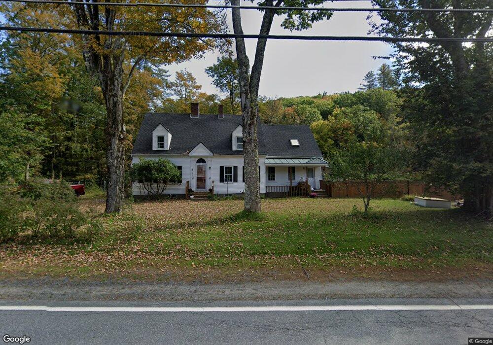
625 Route 10 Gilsum, NH 03448
Estimated Value: $345,000 - $375,000
2
Beds
2
Baths
2,496
Sq Ft
$144/Sq Ft
Est. Value
About This Home
This home is located at 625 Route 10, Gilsum, NH 03448 and is currently estimated at $358,913, approximately $143 per square foot. 625 Route 10 is a home with nearby schools including Gilsum STEAM Academy and Leaf Charter School.
Ownership History
Date
Name
Owned For
Owner Type
Purchase Details
Closed on
Nov 12, 2020
Sold by
W S Badger Co Inc
Bought by
Bachtel Michael L and Bachtel Robin D
Current Estimated Value
Home Financials for this Owner
Home Financials are based on the most recent Mortgage that was taken out on this home.
Original Mortgage
$110,000
Outstanding Balance
$97,884
Interest Rate
2.8%
Mortgage Type
New Conventional
Estimated Equity
$261,029
Purchase Details
Closed on
Jul 9, 2009
Sold by
Keith John D E and Keith Mary E
Bought by
Briggs Thomas G and Briggs Colleen L
Create a Home Valuation Report for This Property
The Home Valuation Report is an in-depth analysis detailing your home's value as well as a comparison with similar homes in the area
Home Values in the Area
Average Home Value in this Area
Purchase History
| Date | Buyer | Sale Price | Title Company |
|---|---|---|---|
| Bachtel Michael L | $235,000 | None Available | |
| Briggs Thomas G | $107,000 | -- |
Source: Public Records
Mortgage History
| Date | Status | Borrower | Loan Amount |
|---|---|---|---|
| Open | Bachtel Michael L | $110,000 | |
| Previous Owner | Briggs Thomas G | $1,540,000 | |
| Previous Owner | Briggs Thomas G | $100,000 | |
| Previous Owner | Briggs Thomas G | $82,000 |
Source: Public Records
Tax History Compared to Growth
Tax History
| Year | Tax Paid | Tax Assessment Tax Assessment Total Assessment is a certain percentage of the fair market value that is determined by local assessors to be the total taxable value of land and additions on the property. | Land | Improvement |
|---|---|---|---|---|
| 2024 | $5,492 | $377,700 | $92,800 | $284,900 |
| 2023 | $5,914 | $227,200 | $65,300 | $161,900 |
| 2022 | $5,355 | $227,200 | $65,300 | $161,900 |
| 2021 | $5,271 | $227,200 | $65,300 | $161,900 |
| 2020 | $5,850 | $227,200 | $65,300 | $161,900 |
| 2019 | $6,364 | $227,200 | $65,300 | $161,900 |
| 2018 | $5,750 | $215,200 | $45,700 | $169,500 |
| 2017 | $6,376 | $215,200 | $45,700 | $169,500 |
| 2016 | $5,800 | $215,200 | $45,700 | $169,500 |
| 2015 | $5,699 | $213,600 | $45,700 | $167,900 |
| 2014 | $6,295 | $213,600 | $45,700 | $167,900 |
| 2013 | $5,892 | $218,700 | $52,300 | $166,400 |
Source: Public Records
Map
Nearby Homes
- 29&31 White Brook Rd
- 16 Nash Corner Rd
- 101 Gilsum Rd
- Lot 53 Apple Hill Rd
- 225B Belvedere Rd Unit B
- Lot 4 Belvedere Rd
- 24 White Brook Dr
- 105 South Rd
- 28 Village Rd
- 24 Village Rd
- 603 Route 12a
- 000 Old Gilsum Rd Unit 3
- 258 Valley Rd
- 32 Blueberry Hill Ln
- 27 Shadowland Rd
- 96 Maclean Rd
- 00 Alstead Center Rd
- 33 Maclean Rd
- 0 Old Gilsum Rd Unit 5034729
- 0 Old Walpole Rd Unit 1
- 625 New Hampshire 10
- 3 Tannery Rd
- 2 Church St
- 626 New Hampshire 10
- 0 New Hampshire 10
- 623 New Hampshire 10
- 623 Route 10
- 767 New Hampshire 10
- 622 Route 10
- 4 Church St
- 620 Route 10
- 10 Memorial St
- 619 Route 10
- 7 Tannery Rd
- 634 New Hampshire 10
- 634 Route 10
- 11 Main St
- 14 Memorial St
- 9 Main St
- 15 Main St