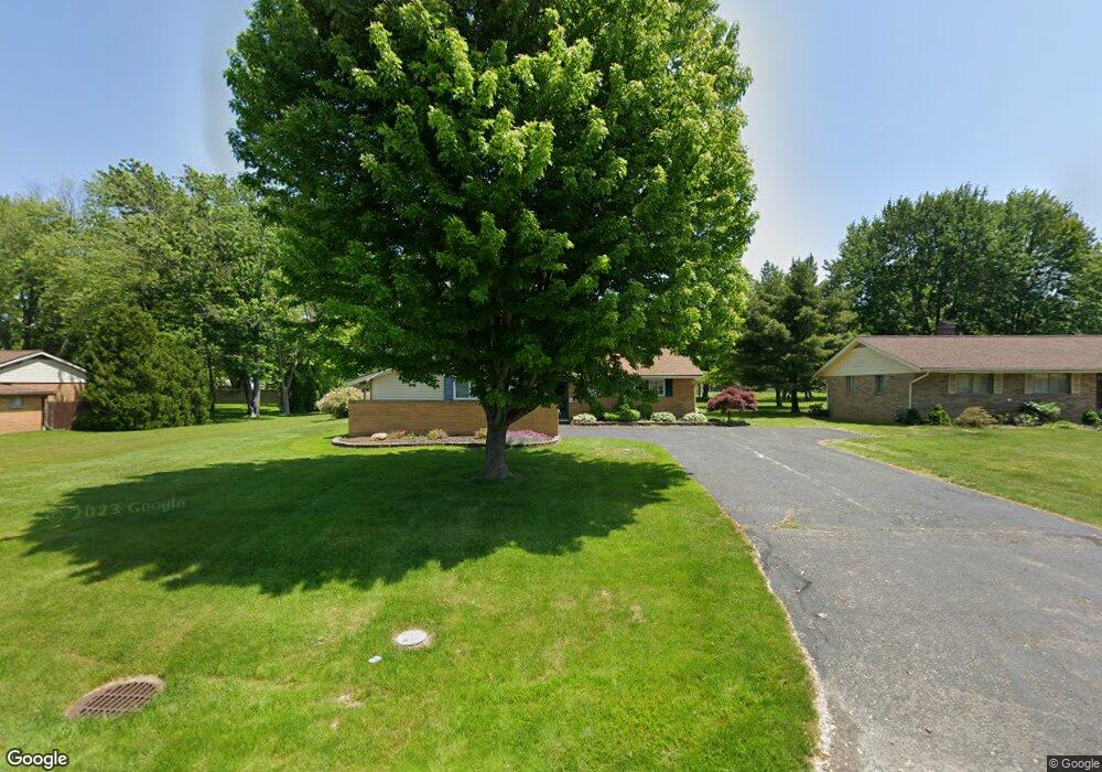
6255 Meldon Dr Mentor, OH 44060
Estimated Value: $229,000 - $242,000
3
Beds
2
Baths
1,192
Sq Ft
$200/Sq Ft
Est. Value
About This Home
This home is located at 6255 Meldon Dr, Mentor, OH 44060 and is currently estimated at $238,426, approximately $200 per square foot. 6255 Meldon Dr is a home located in Lake County with nearby schools including Fairfax Elementary School, Memorial Middle School, and Mentor High School.
Ownership History
Date
Name
Owned For
Owner Type
Purchase Details
Closed on
Apr 21, 1999
Sold by
Mathews James L
Bought by
Domin Keith C and Domin Barbara L
Current Estimated Value
Home Financials for this Owner
Home Financials are based on the most recent Mortgage that was taken out on this home.
Original Mortgage
$114,000
Outstanding Balance
$27,377
Interest Rate
7.17%
Estimated Equity
$211,049
Purchase Details
Closed on
Nov 10, 1993
Bought by
Mathews James L
Create a Home Valuation Report for This Property
The Home Valuation Report is an in-depth analysis detailing your home's value as well as a comparison with similar homes in the area
Home Values in the Area
Average Home Value in this Area
Purchase History
| Date | Buyer | Sale Price | Title Company |
|---|---|---|---|
| Domin Keith C | $120,000 | Guardian Title | |
| Mathews James L | $90,500 | -- |
Source: Public Records
Mortgage History
| Date | Status | Borrower | Loan Amount |
|---|---|---|---|
| Open | Domin Keith C | $114,000 |
Source: Public Records
Tax History
| Year | Tax Paid | Tax Assessment Tax Assessment Total Assessment is a certain percentage of the fair market value that is determined by local assessors to be the total taxable value of land and additions on the property. | Land | Improvement |
|---|---|---|---|---|
| 2025 | -- | $75,250 | $28,460 | $46,790 |
| 2024 | -- | $75,250 | $28,460 | $46,790 |
| 2023 | -- | $58,950 | $20,180 | $38,770 |
| 2022 | $2,716 | $58,950 | $20,180 | $38,770 |
| 2021 | $2,723 | $58,950 | $20,180 | $38,770 |
| 2020 | $2,632 | $49,960 | $17,100 | $32,860 |
| 2019 | $2,635 | $49,960 | $17,100 | $32,860 |
| 2018 | $2,554 | $44,880 | $23,130 | $21,750 |
| 2017 | $2,480 | $44,880 | $23,130 | $21,750 |
| 2016 | $2,466 | $44,880 | $23,130 | $21,750 |
| 2015 | $2,248 | $44,880 | $23,130 | $21,750 |
| 2014 | $2,181 | $42,910 | $23,130 | $19,780 |
| 2013 | $2,184 | $42,910 | $23,130 | $19,780 |
Source: Public Records
Map
Nearby Homes
- 6270 Cumberland Dr
- 8031 Munson Rd
- 8096 Munson Rd
- 6067 Collins Rd
- 6484 Elmwood Rd
- 0 Collins Rd
- 5998 Collins Rd
- 6082 Andrews Rd
- 8285 Munson Rd
- 5976 Silver Ct
- 8352 Quail Point Ln Unit 8352
- 6452 Brooks Blvd
- 6503 Brooks Blvd
- 6218 Center St Unit 6218
- 6595 Devonshire Ct
- 7723 Rutland Dr
- 6443 Chase Dr
- 5817 Fenwood Ct
- 8420 Bartley Ln Unit C
- 7641 Fern Dr