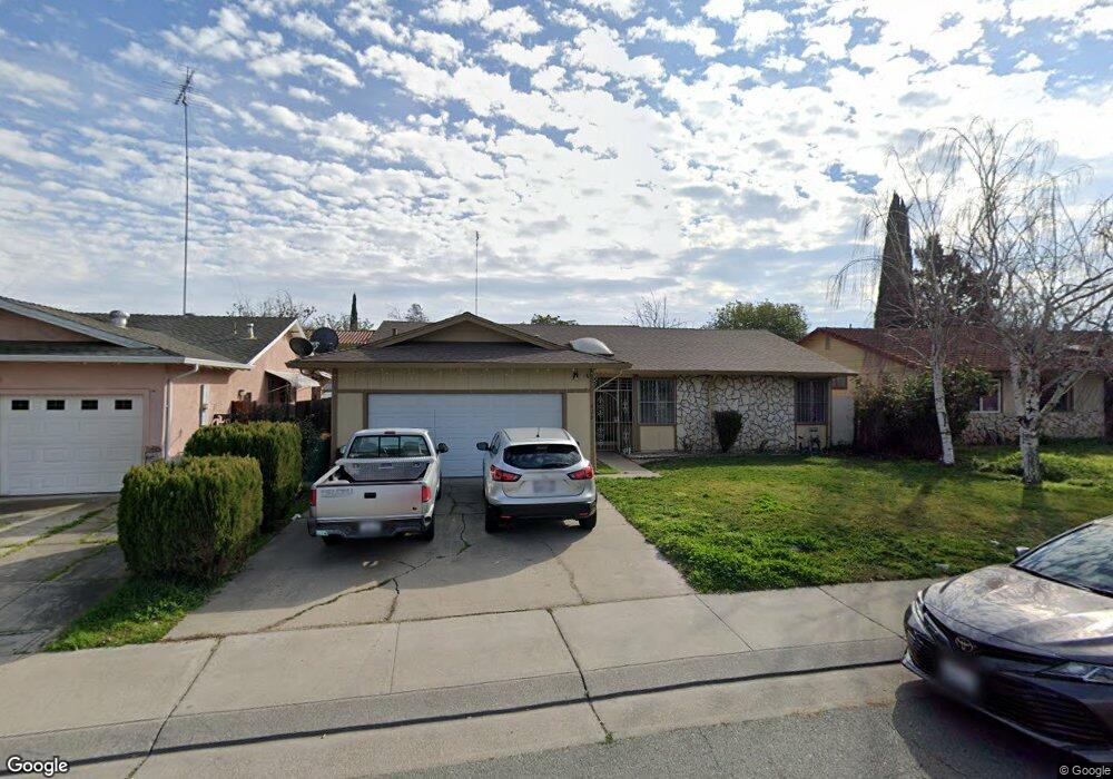
626 Coventry Dr Stockton, CA 95207
Lincoln Village NeighborhoodEstimated Value: $389,000 - $417,559
3
Beds
2
Baths
1,637
Sq Ft
$243/Sq Ft
Est. Value
About This Home
This home is located at 626 Coventry Dr, Stockton, CA 95207 and is currently estimated at $397,890, approximately $243 per square foot. 626 Coventry Dr is a home located in San Joaquin County with nearby schools including John R. Williams School, Sierra Middle School, and Lincoln High School.
Ownership History
Date
Name
Owned For
Owner Type
Purchase Details
Closed on
Dec 19, 2014
Sold by
Yep David and Yep Susan
Bought by
Yep Family 2014 Revocable Trust and Yep Susan Shui
Current Estimated Value
Purchase Details
Closed on
May 24, 2004
Sold by
Liu Jiu Yang and Lin Su Fen
Bought by
Yep David and Yep Susan
Home Financials for this Owner
Home Financials are based on the most recent Mortgage that was taken out on this home.
Original Mortgage
$157,500
Outstanding Balance
$75,710
Interest Rate
5.86%
Mortgage Type
Stand Alone First
Estimated Equity
$322,180
Create a Home Valuation Report for This Property
The Home Valuation Report is an in-depth analysis detailing your home's value as well as a comparison with similar homes in the area
Home Values in the Area
Average Home Value in this Area
Purchase History
| Date | Buyer | Sale Price | Title Company |
|---|---|---|---|
| Yep Family 2014 Revocable Trust | -- | None Available | |
| Yep David | $225,000 | Alliance Title Co |
Source: Public Records
Mortgage History
| Date | Status | Borrower | Loan Amount |
|---|---|---|---|
| Open | Yep David | $157,500 |
Source: Public Records
Tax History
| Year | Tax Paid | Tax Assessment Tax Assessment Total Assessment is a certain percentage of the fair market value that is determined by local assessors to be the total taxable value of land and additions on the property. | Land | Improvement |
|---|---|---|---|---|
| 2025 | $3,795 | $319,884 | $95,253 | $224,631 |
| 2024 | $3,717 | $313,613 | $93,386 | $220,227 |
| 2023 | $3,691 | $307,464 | $91,555 | $215,909 |
| 2022 | $3,601 | $301,436 | $89,760 | $211,676 |
| 2021 | $3,554 | $295,526 | $88,000 | $207,526 |
| 2020 | $3,553 | $292,497 | $87,098 | $205,399 |
| 2019 | $3,499 | $286,763 | $85,391 | $201,372 |
| 2018 | $3,437 | $281,141 | $83,717 | $197,424 |
| 2017 | $2,908 | $235,000 | $68,000 | $167,000 |
| 2016 | $2,418 | $190,000 | $57,000 | $133,000 |
| 2015 | $2,336 | $182,000 | $54,000 | $128,000 |
| 2014 | $2,116 | $162,000 | $49,000 | $113,000 |
Source: Public Records
Map
Nearby Homes
- 4638 Burnham Cir
- 420 E Bianchi Rd Unit 4
- 414 E Bianchi Rd Unit 2
- 4479 La Cresta Way Unit 1
- 4479 La Cresta Way Unit 2
- 4439 Calandria St Unit 4
- 4427 Calandria St Unit 2
- 4415 Calandria St Unit 3
- 4425 La Cresta Way Unit 4
- 325 E Lancaster Dr Unit 6
- 603 E Yorkshire Dr
- 823 E Yorkshire Dr
- 4401 Townehome Dr
- 428 Caribrook Way Unit 2
- 440 Caribrook Way Unit 1
- 502 Caribrook Way Unit 4
- 5420 Yorkshire Ct
- 4452 Cotton Ct
- 5528 Kermit Ln
- 5310 N El Dorado St Unit 7
- 614 Coventry Dr
- 638 Coventry Dr
- 4661 Burnham Cir
- 4667 Burnham Cir
- 4655 Burnham Cir
- 602 Coventry Dr
- 625 Coventry Dr
- 4649 Burnham Cir
- 613 Coventry Dr
- 637 Coventry Dr
- 540 Coventry Dr
- 601 Coventry Dr
- 4742 Hillsboro Way
- 4754 Hillsboro Way
- 4643 Burnham Cir
- 4802 Hillsboro Way
- 4827 Hillsboro Way
- 4621 Hillsboro Way
- 4634 Hillsboro Way
- 528 Coventry Dr
Your Personal Tour Guide
Ask me questions while you tour the home.