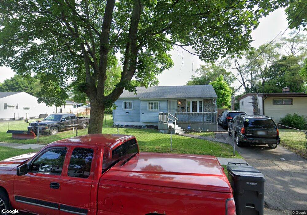
626 W Lorado Ave Flint, MI 48505
MLK Circle NeighborhoodEstimated Value: $19,000 - $63,000
3
Beds
1
Bath
905
Sq Ft
$52/Sq Ft
Est. Value
About This Home
This home is located at 626 W Lorado Ave, Flint, MI 48505 and is currently estimated at $47,436, approximately $52 per square foot. 626 W Lorado Ave is a home located in Genesee County with nearby schools including Brownell STEM Academy, The New Standard Academy, and Eagle's Nest Academy.
Ownership History
Date
Name
Owned For
Owner Type
Purchase Details
Closed on
Sep 10, 2018
Sold by
Mcchester James Leon
Bought by
Mcchester James Leon and Crum Jeanette Maria
Current Estimated Value
Purchase Details
Closed on
Jul 18, 2016
Sold by
Churchill Properties & Associates Llc
Bought by
Crum Jeanette Maria and Mcchester Ames Leon
Purchase Details
Closed on
Sep 24, 2003
Sold by
Goza Josephine O
Bought by
Deutsche Bank National Trust Co
Create a Home Valuation Report for This Property
The Home Valuation Report is an in-depth analysis detailing your home's value as well as a comparison with similar homes in the area
Home Values in the Area
Average Home Value in this Area
Purchase History
| Date | Buyer | Sale Price | Title Company |
|---|---|---|---|
| Mcchester James Leon | -- | None Available | |
| Crum Jeanette Maria | $5,000 | None Available | |
| Deutsche Bank National Trust Co | $29,473 | -- |
Source: Public Records
Tax History
| Year | Tax Paid | Tax Assessment Tax Assessment Total Assessment is a certain percentage of the fair market value that is determined by local assessors to be the total taxable value of land and additions on the property. | Land | Improvement |
|---|---|---|---|---|
| 2025 | $572 | $11,300 | $0 | $0 |
| 2024 | $533 | $9,000 | $0 | $0 |
| 2023 | $532 | $7,000 | $0 | $0 |
| 2022 | $0 | $5,400 | $0 | $0 |
| 2021 | $543 | $5,400 | $0 | $0 |
| 2020 | $504 | $5,000 | $0 | $0 |
| 2019 | $505 | $5,000 | $0 | $0 |
| 2018 | $1,220 | $5,300 | $0 | $0 |
| 2017 | $986 | $0 | $0 | $0 |
| 2016 | $648 | $0 | $0 | $0 |
| 2015 | -- | $0 | $0 | $0 |
| 2014 | -- | $0 | $0 | $0 |
| 2012 | -- | $8,400 | $0 | $0 |
Source: Public Records
Map
Nearby Homes
- 613 W Foss Ave
- 605 W Foss Ave
- 618 W Austin Ave
- 614 W Holbrook Ave
- 610 W Austin Ave
- 505 W Ruth Ave
- 6609 Cranwood Dr
- 6714 Cranwood Dr
- 514 W Alma Ave
- 510 W Alma Ave
- 506 W Alma Ave
- 536 W Home Ave
- 525 W Bundy Ave
- 405 W Bundy Ave
- 6902 Sally Ct
- 1015 W Carpenter Rd
- 1216 Barbara Dr
- 5714 Suburban Ct
- 5610 Baldwin Blvd
- 225 E Piper Ave
- 622 W Lorado Ave
- 637 W Foss Ave
- 618 W Lorado Ave
- 634 W Lorado Ave
- 621 W Foss Ave
- 629 W Foss Ave
- 633 W Foss Ave
- 617 W Foss Ave
- 614 W Lorado Ave
- 638 W Lorado Ave
- 625 W Lorado Ave
- 621 W Lorado Ave
- 629 W Lorado Ave
- 617 W Lorado Ave
- 633 W Lorado Ave
- 642 W Lorado Ave
- 610 W Lorado Ave
- 613 W Lorado Ave
- 637 W Lorado Ave
- 641 W Foss Ave
Your Personal Tour Guide
Ask me questions while you tour the home.