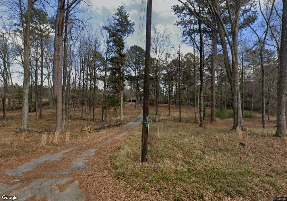
6274 Carl Price Rd Toomsuba, MS 39364
Estimated Value: $208,000 - $226,000
4
Beds
2
Baths
1,626
Sq Ft
$134/Sq Ft
Est. Value
About This Home
This home is located at 6274 Carl Price Rd, Toomsuba, MS 39364 and is currently estimated at $217,197, approximately $133 per square foot. 6274 Carl Price Rd is a home.
Ownership History
Date
Name
Owned For
Owner Type
Purchase Details
Closed on
Aug 13, 2025
Sold by
Lollar Mathew
Bought by
Bryant Doritha
Current Estimated Value
Home Financials for this Owner
Home Financials are based on the most recent Mortgage that was taken out on this home.
Original Mortgage
$199,500
Outstanding Balance
$197,993
Interest Rate
0.65%
Mortgage Type
New Conventional
Estimated Equity
$19,204
Purchase Details
Closed on
Jun 30, 2023
Sold by
Hill George L and Hill Jessica R
Bought by
Lollar Mathew
Purchase Details
Closed on
May 21, 2018
Sold by
Garrett Denise Ann Hickman and Garrett Logan Carleton
Bought by
Hill George L
Create a Home Valuation Report for This Property
The Home Valuation Report is an in-depth analysis detailing your home's value as well as a comparison with similar homes in the area
Home Values in the Area
Average Home Value in this Area
Purchase History
| Date | Buyer | Sale Price | Title Company |
|---|---|---|---|
| Bryant Doritha | $249,375 | Pine Belt Land Title Llc | |
| Lollar Mathew | -- | Pine Belt Land Title Llc | |
| Hill George L | -- | -- |
Source: Public Records
Mortgage History
| Date | Status | Borrower | Loan Amount |
|---|---|---|---|
| Open | Bryant Doritha | $199,500 | |
| Closed | Bryant Doritha | $6,000 |
Source: Public Records
Tax History Compared to Growth
Tax History
| Year | Tax Paid | Tax Assessment Tax Assessment Total Assessment is a certain percentage of the fair market value that is determined by local assessors to be the total taxable value of land and additions on the property. | Land | Improvement |
|---|---|---|---|---|
| 2025 | $1,347 | $13,876 | $0 | $0 |
| 2024 | $1,347 | $13,876 | $0 | $0 |
| 2023 | $1,165 | $9,813 | $0 | $0 |
| 2022 | $1,163 | $9,813 | $0 | $0 |
| 2021 | $1,152 | $9,813 | $0 | $0 |
| 2020 | $1,669 | $14,720 | $0 | $0 |
| 2019 | $1,619 | $14,279 | $0 | $0 |
| 2018 | $1,602 | $0 | $0 | $0 |
| 2017 | $226 | $95,190 | $15,630 | $79,560 |
| 2016 | $225 | $95,190 | $15,630 | $79,560 |
| 2015 | -- | $89,910 | $15,360 | $74,550 |
| 2014 | -- | $89,910 | $15,360 | $74,550 |
Source: Public Records
Map
Nearby Homes
- 0 Susan Kennedy Rd
- 3701 Louise Dr
- 8539 Lakewood Cir
- 3758 Louise Dr
- 0 Kewanee Rd S
- 0 William Walker Rd
- 5778 Johnson Loop Rd
- 0 N Pkwy Unit 25-723
- 9159 Mae Crooker Cir
- 8948 Lake Flora Dr
- 5724 Dogwood Dr
- 0 Russell Mount Gilead Rd Unit LotWP001
- 0 Linton Rd
- 1815 Willow Lake Rd
- 0 Bethlehem Rd
- 1629 Marion Russell Rd
- 1246 Jeff Davis School Rd
- 9234 Null Rd
- 1543 Marion Russell Rd
- 9660 Lauderdale Toomsuba Rd
- 6246 Carl Price Rd
- 6242 Carl Price Rd
- 6232 Carl Price Rd
- 6367 Carl Price Rd
- 6212 Carl Price Rd
- 6197 Carl Price Rd
- 4143 Dixie Highway School Rd Unit A
- 6155 Carl Price Rd
- 4205 Dixie Highway School Rd
- 0000 Dixie Highway School Rd
- 6434 Carl Price Rd
- 4204 Dixie Highway School Rd
- 4243 Dixie Highway School Rd
- 4235 Dixie Highway School Rd
- 6431 Carl Price Rd
- 000 U S 80
- 3955 Highway 11 and 80
- 4244 Dixie Highway School Rd
- 5768 Lauderdale Toomsuba Rd
- 3982 Highway 11 and 80