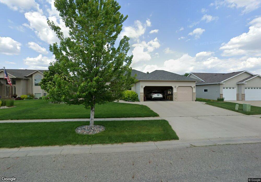
628 18th Ave E West Fargo, ND 58078
Charleswood NeighborhoodEstimated Value: $425,000
3
Beds
2
Baths
1,876
Sq Ft
$227/Sq Ft
Est. Value
About This Home
This home is located at 628 18th Ave E, West Fargo, ND 58078 and is currently estimated at $425,000, approximately $226 per square foot. 628 18th Ave E is a home located in Cass County with nearby schools including South Elementary School, Cheney Middle School, and West Fargo High School.
Ownership History
Date
Name
Owned For
Owner Type
Purchase Details
Closed on
May 19, 2005
Sold by
Charleswood Inc
Bought by
Wilkey Jill J
Current Estimated Value
Home Financials for this Owner
Home Financials are based on the most recent Mortgage that was taken out on this home.
Original Mortgage
$149,000
Interest Rate
6.07%
Mortgage Type
New Conventional
Create a Home Valuation Report for This Property
The Home Valuation Report is an in-depth analysis detailing your home's value as well as a comparison with similar homes in the area
Home Values in the Area
Average Home Value in this Area
Purchase History
| Date | Buyer | Sale Price | Title Company |
|---|---|---|---|
| Wilkey Jill J | -- | -- |
Source: Public Records
Mortgage History
| Date | Status | Borrower | Loan Amount |
|---|---|---|---|
| Closed | Wilkey Jill J | $149,000 |
Source: Public Records
Tax History Compared to Growth
Tax History
| Year | Tax Paid | Tax Assessment Tax Assessment Total Assessment is a certain percentage of the fair market value that is determined by local assessors to be the total taxable value of land and additions on the property. | Land | Improvement |
|---|---|---|---|---|
| 2024 | $5,051 | $225,250 | $38,100 | $187,150 |
| 2023 | $6,026 | $211,400 | $38,100 | $173,300 |
| 2022 | $6,103 | $205,100 | $38,100 | $167,000 |
| 2021 | $5,814 | $187,900 | $34,100 | $153,800 |
| 2020 | $5,517 | $183,150 | $34,100 | $149,050 |
| 2019 | $5,255 | $180,300 | $34,100 | $146,200 |
| 2018 | $4,998 | $178,850 | $34,100 | $144,750 |
| 2017 | $5,255 | $180,450 | $34,100 | $146,350 |
| 2016 | $4,737 | $175,950 | $34,100 | $141,850 |
| 2015 | $4,700 | $160,800 | $16,600 | $144,200 |
| 2014 | $4,493 | $150,300 | $16,600 | $133,700 |
| 2013 | $4,404 | $143,950 | $16,600 | $127,350 |
Source: Public Records
Map
Nearby Homes
- 1811 7th St E
- 517 18th Ave E
- 724 Northridge Way
- 134 17th Ave E
- 1844 1st St
- 1633 3rd St W
- 722 14 1 2 Ave E
- 1264 Marlys Dr W
- 154 W Beaton Dr
- 306 13th Ave E
- 336 13th Ave E
- 243 12 1 2 Ave E
- 1845 Huntington Ct
- 1836 12th St E
- 245 12th Ave E
- 1829 13th St E
- 1534 Baywood Dr
- 437 10th Ave E
- 2432 Mcleod Dr E
- 226 10 1/2 Ave W
- 634 18th Ave E
- 622 18th Ave E
- 627 17th Ave E
- 633 17th Ave E
- 621 17th Ave E
- 640 18th Ave E
- 616 18th Ave E
- 1808 Queensbury St
- 639 17th Ave E
- 615 17th Ave E
- 1807 Queensbury St
- 646 18th Ave E
- 610 18th Ave E
- 645 17th Ave E
- 1816 Queensbury St
- 1711 6th St E
- 609 17th Ave E
- 1815 Queensbury St
- 652 18th Ave E
- 1810 Pentland St