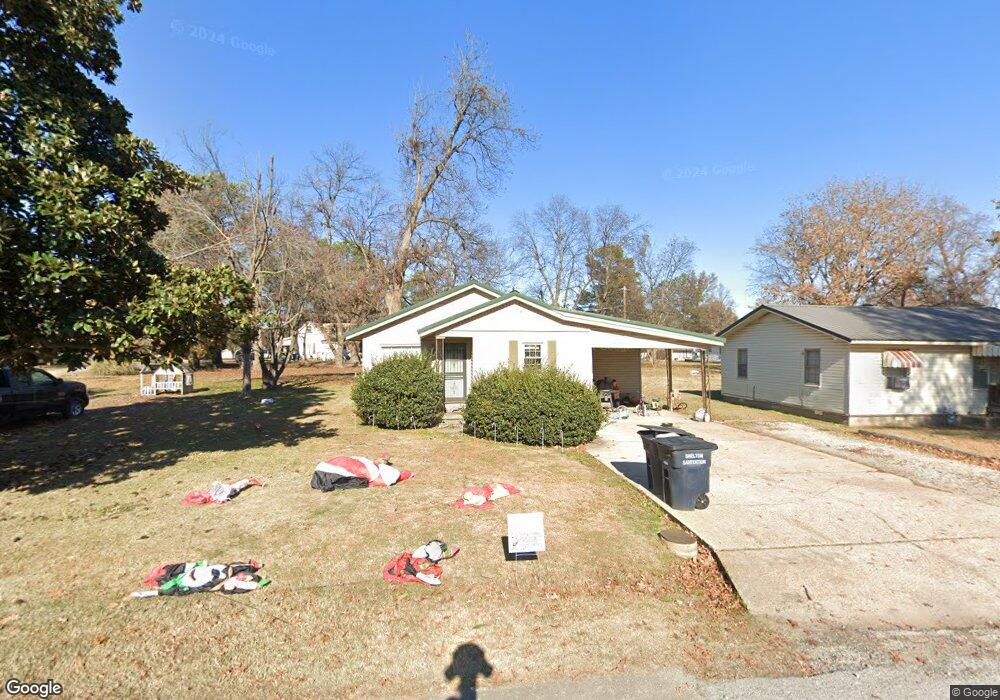
628 E Jackson St Piggott, AR 72454
Estimated Value: $97,000 - $107,000
Studio
2
Baths
1,622
Sq Ft
$63/Sq Ft
Est. Value
About This Home
This home is located at 628 E Jackson St, Piggott, AR 72454 and is currently estimated at $101,603, approximately $62 per square foot. 628 E Jackson St is a home located in Clay County with nearby schools including Piggott Elementary School and Piggott High School.
Ownership History
Date
Name
Owned For
Owner Type
Purchase Details
Closed on
Sep 25, 2020
Bought by
Dale Courtroul Shane and Courtroul Amy
Current Estimated Value
Purchase Details
Closed on
Jun 21, 2019
Bought by
Courtroul Shane Dale and Courtroul Amy
Purchase Details
Closed on
Dec 2, 2009
Sold by
Parker Kenneth R and Parker Judy
Bought by
Ward David and Ward Christine
Home Financials for this Owner
Home Financials are based on the most recent Mortgage that was taken out on this home.
Original Mortgage
$45,503
Interest Rate
5.01%
Purchase Details
Closed on
Jun 25, 2003
Bought by
Parker
Create a Home Valuation Report for This Property
The Home Valuation Report is an in-depth analysis detailing your home's value as well as a comparison with similar homes in the area
Home Values in the Area
Average Home Value in this Area
Purchase History
| Date | Buyer | Sale Price | Title Company |
|---|---|---|---|
| Dale Courtroul Shane | $54,000 | -- | |
| Courtroul Shane Dale | $5,300 | -- | |
| Ward David | -- | -- | |
| Parker | $4,000 | -- |
Source: Public Records
Mortgage History
| Date | Status | Borrower | Loan Amount |
|---|---|---|---|
| Previous Owner | Ward David | $45,503 |
Source: Public Records
Tax History
| Year | Tax Paid | Tax Assessment Tax Assessment Total Assessment is a certain percentage of the fair market value that is determined by local assessors to be the total taxable value of land and additions on the property. | Land | Improvement |
|---|---|---|---|---|
| 2025 | $81 | $15,040 | $1,310 | $13,730 |
| 2024 | $81 | $15,040 | $1,310 | $13,730 |
| 2023 | $130 | $15,040 | $1,310 | $13,730 |
| 2022 | $154 | $10,480 | $700 | $9,780 |
| 2021 | $154 | $10,480 | $700 | $9,780 |
| 2020 | $154 | $10,480 | $700 | $9,780 |
| 2019 | $529 | $10,480 | $700 | $9,780 |
| 2018 | $529 | $10,480 | $700 | $9,780 |
| 2017 | $495 | $9,820 | $1,400 | $8,420 |
| 2016 | -- | $9,820 | $1,400 | $8,420 |
| 2015 | -- | $9,820 | $1,400 | $8,420 |
| 2014 | -- | $9,820 | $1,400 | $8,420 |
| 2013 | -- | $9,820 | $1,400 | $8,420 |
Source: Public Records
Map
Nearby Homes
- 645 E Jackson St
- 0 N Garfield Ave
- 0 N Taylor Ave
- 489 N Taylor Ave
- 489 N Taylor Ave
- 808 E Jackson St
- .15 acre E Orr St
- 885 E Orr St
- 792 E Miller St
- 927 E Margaret St
- 0 N Johnson Ave
- 387 S Garfield Ave
- 778 E Locust St
- 768 E Locust St
- 1100 E Margaret St
- 616 N 2nd Ave
- 792 N Royal Ave
- 327 W Orr St
- 458 Valarie Ln
- 865 N 2nd Ave
- 644 E Jackson St
- 588 E Jackson St
- 334 N Garfield Ave
- 391 N Garfield Ave
- 609 E Jackson St
- 633 E Jackson St
- 358 N Garfield Ave
- 660 E Jackson St
- 591 E Jackson St
- 657 E Jackson St
- 339 N Monroe Ave
- 313 N Monroe Ave
- 661 E Orr St
- 394 N Garfield Ave
- 363 N Monroe Ave
- 513 E Jackson St
- 675 E Jackson St
- 250 N Garfield Ave
- 684 E Jackson St
- 381 N Monroe Ave
Your Personal Tour Guide
Ask me questions while you tour the home.