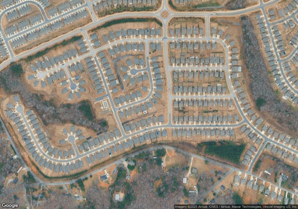
6280 Swanport Rd Lancaster, SC 29720
Estimated Value: $461,640 - $514,000
--
Bed
--
Bath
2,206
Sq Ft
$217/Sq Ft
Est. Value
About This Home
This home is located at 6280 Swanport Rd, Lancaster, SC 29720 and is currently estimated at $479,410, approximately $217 per square foot. 6280 Swanport Rd is a home with nearby schools including Van Wyck Elementary School, Indian Land Elementary School, and Indian Land Middle School.
Ownership History
Date
Name
Owned For
Owner Type
Purchase Details
Closed on
Jan 10, 2022
Sold by
Paul Dickens
Bought by
Bogar Daniel E and Bogar Marisa Renee
Current Estimated Value
Home Financials for this Owner
Home Financials are based on the most recent Mortgage that was taken out on this home.
Original Mortgage
$214,850
Outstanding Balance
$198,011
Interest Rate
3.11%
Mortgage Type
New Conventional
Estimated Equity
$281,399
Purchase Details
Closed on
Aug 25, 2020
Sold by
M I Homes Of Charlotte Llc
Bought by
Bogar Daniel E and Bogar Marisa Renee
Home Financials for this Owner
Home Financials are based on the most recent Mortgage that was taken out on this home.
Original Mortgage
$210,000
Interest Rate
2.9%
Mortgage Type
New Conventional
Purchase Details
Closed on
Feb 20, 2020
Sold by
Edenmoor Land Acquisition Llc
Bought by
M I Homes Of Charlotte Llc
Create a Home Valuation Report for This Property
The Home Valuation Report is an in-depth analysis detailing your home's value as well as a comparison with similar homes in the area
Home Values in the Area
Average Home Value in this Area
Purchase History
| Date | Buyer | Sale Price | Title Company |
|---|---|---|---|
| Bogar Daniel E | -- | None Listed On Document | |
| Bogar Daniel E | $313,165 | None Available | |
| M I Homes Of Charlotte Llc | $605,220 | None Available |
Source: Public Records
Mortgage History
| Date | Status | Borrower | Loan Amount |
|---|---|---|---|
| Open | Bogar Daniel E | $214,850 | |
| Previous Owner | Bogar Daniel E | $210,000 |
Source: Public Records
Tax History Compared to Growth
Tax History
| Year | Tax Paid | Tax Assessment Tax Assessment Total Assessment is a certain percentage of the fair market value that is determined by local assessors to be the total taxable value of land and additions on the property. | Land | Improvement |
|---|---|---|---|---|
| 2024 | $3,499 | $13,160 | $1,600 | $11,560 |
| 2023 | $3,412 | $13,160 | $1,600 | $11,560 |
| 2022 | $3,258 | $12,584 | $1,600 | $10,984 |
| 2021 | $3,219 | $12,584 | $1,600 | $10,984 |
| 2020 | $1,402 | $642 | $642 | $0 |
| 2019 | $216 | $642 | $642 | $0 |
Source: Public Records
Map
Nearby Homes
- 6028 Varesk Ln
- 4236 Merrivale Dr
- 3090 Bridgewater St
- 7031 Chrysanthemum Rd
- 4243 Merrivale Dr
- 7023 Chrysanthemum Rd
- 417 Livingston Dr
- 7416 Hartsfield Dr
- 515 Stickley Place
- 1845 Loggerhead Dr
- 7742 Sea Turtle Way
- 4320 Carrington Dr
- 529 Stickley Place
- 4310 Coachwhip Ave
- 6883 Spring Peeper Ln
- 5634 Agora Ct
- 4268 Coachwhip Ave
- 3027 Cricket Ln
- 1128 Piper Meadows St
- 1024 Gabardine Ln
- 6276 Swanport Rd
- 6284 Swanport Rd
- 7080 Chrysanthemum Rd
- 6272 Swanport Rd
- 7086 Chrysanthemum Rd
- 7076 Chrysanthemum Rd
- 6288 Swanport Rd
- 7090 Chrysanthemum Rd
- 6266 Swanport Rd
- 6277 Swanport Rd
- 6289 Swanport Rd
- 6289 Swanport Rd Unit 81
- 7094 Chrysanthemum Rd
- 6294 Swanport Rd
- 6273 Swanport Rd
- 6260 Swanport Rd
- 6051 Varesk Ln Unit 3D-103
- 6267 Swanport Rd
- 7100 Chrysanthemum Rd
- 7079 Chrysanthemum Rd
