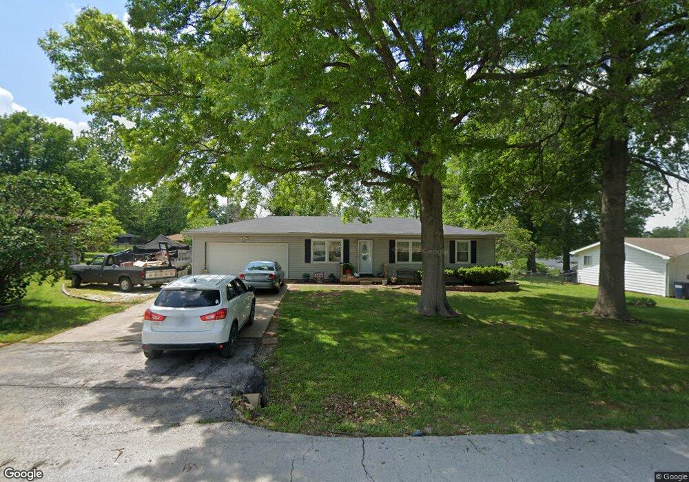
629 Pershing St Willard, MO 65781
Estimated Value: $228,643 - $259,000
5
Beds
2
Baths
1,760
Sq Ft
$138/Sq Ft
Est. Value
About This Home
This home is located at 629 Pershing St, Willard, MO 65781 and is currently estimated at $243,411, approximately $138 per square foot. 629 Pershing St is a home located in Greene County with nearby schools including Willard North Elementary School and Willard Intermediate School North.
Ownership History
Date
Name
Owned For
Owner Type
Purchase Details
Closed on
Aug 27, 2020
Sold by
Morris Leslie Wayne
Bought by
Wilson Bryan T and Wilson Stacy K
Current Estimated Value
Home Financials for this Owner
Home Financials are based on the most recent Mortgage that was taken out on this home.
Original Mortgage
$159,595
Outstanding Balance
$141,630
Interest Rate
2.9%
Mortgage Type
New Conventional
Estimated Equity
$101,781
Purchase Details
Closed on
Nov 10, 2005
Sold by
Morris Anita Kay
Bought by
Morris Leslie Wayne
Create a Home Valuation Report for This Property
The Home Valuation Report is an in-depth analysis detailing your home's value as well as a comparison with similar homes in the area
Home Values in the Area
Average Home Value in this Area
Purchase History
| Date | Buyer | Sale Price | Title Company |
|---|---|---|---|
| Wilson Bryan T | -- | None Available | |
| Morris Leslie Wayne | -- | None Available |
Source: Public Records
Mortgage History
| Date | Status | Borrower | Loan Amount |
|---|---|---|---|
| Open | Wilson Bryan T | $159,595 |
Source: Public Records
Tax History
| Year | Tax Paid | Tax Assessment Tax Assessment Total Assessment is a certain percentage of the fair market value that is determined by local assessors to be the total taxable value of land and additions on the property. | Land | Improvement |
|---|---|---|---|---|
| 2025 | $1,453 | $24,110 | $5,700 | $18,410 |
| 2024 | $1,373 | $22,170 | $4,750 | $17,420 |
| 2023 | $1,369 | $22,170 | $4,750 | $17,420 |
| 2022 | $1,232 | $20,290 | $4,750 | $15,540 |
| 2021 | $1,231 | $20,290 | $4,750 | $15,540 |
| 2020 | $1,226 | $19,860 | $4,750 | $15,110 |
| 2019 | $1,220 | $19,860 | $4,750 | $15,110 |
| 2018 | $1,045 | $16,760 | $4,750 | $12,010 |
| 2017 | $1,037 | $15,810 | $4,750 | $11,060 |
| 2016 | $976 | $15,810 | $4,750 | $11,060 |
| 2015 | $967 | $15,810 | $4,750 | $11,060 |
| 2014 | $930 | $15,030 | $4,750 | $10,280 |
Source: Public Records
Map
Nearby Homes
- 708 S Main St
- 117 Ridgeview Dr
- 000 Mark St
- 803 S State Highway Ab
- 825 Pershing St
- 831 Pershing St
- 7400 W Farm Road 84
- 506 S Gauge St
- 716 Daniel Ln
- 305 Hughes Rd
- 308 Hughes Rd
- 408 Pine St
- 464 Baird Ct
- 466 Baird Ct
- 823 Hoffman Hills Blvd
- 462 Baird Ct
- 479 S Summit Dr
- 461 Baird Ct
- 314 S Main St
- 771 S Bent Tree Ave
- 631 Pershing St
- 627 Pershing St
- 710 S Main St
- 712 S Main St
- 625 Pershing St
- 633 Pershing St
- 632 Pershing St
- 634 Pershing St
- 706 S Main St
- 714 S Main St
- 630 Pershing St
- 636 Pershing St
- 623 Pershing St
- 635 Pershing St
- 628 Pershing St
- 638 Pershing St
- 704 S Main St
- 716 S Main St
- 200 Jeb St
- 711 S Main St
Your Personal Tour Guide
Ask me questions while you tour the home.