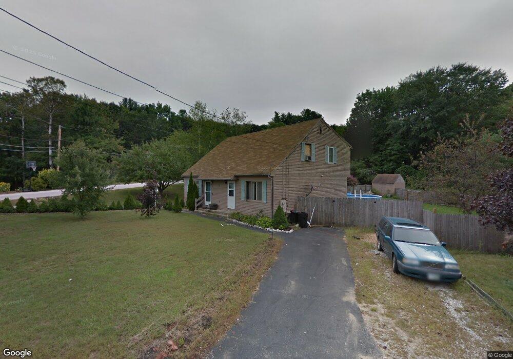
63 Dale Rd Unit A Hooksett, NH 03106
Estimated Value: $328,159 - $416,000
2
Beds
2
Baths
1,090
Sq Ft
$330/Sq Ft
Est. Value
About This Home
This home is located at 63 Dale Rd Unit A, Hooksett, NH 03106 and is currently estimated at $359,290, approximately $329 per square foot. 63 Dale Rd Unit A is a home located in Merrimack County with nearby schools including Fred C. Underhill School, Hooksett Memorial School, and David R. Cawley Middle School.
Ownership History
Date
Name
Owned For
Owner Type
Purchase Details
Closed on
Jan 25, 2022
Sold by
Andruss James K
Bought by
James Andruss Irt
Current Estimated Value
Purchase Details
Closed on
May 2, 1995
Bought by
Andruss James K and Andruss Nancy P
Create a Home Valuation Report for This Property
The Home Valuation Report is an in-depth analysis detailing your home's value as well as a comparison with similar homes in the area
Home Values in the Area
Average Home Value in this Area
Purchase History
| Date | Buyer | Sale Price | Title Company |
|---|---|---|---|
| James Andruss Irt | -- | None Available | |
| Andruss James K | $62,500 | -- |
Source: Public Records
Mortgage History
| Date | Status | Borrower | Loan Amount |
|---|---|---|---|
| Previous Owner | Andruss James K | $90,000 | |
| Previous Owner | Andruss James K | $85,000 | |
| Previous Owner | Andruss James K | $11,000 |
Source: Public Records
Tax History Compared to Growth
Tax History
| Year | Tax Paid | Tax Assessment Tax Assessment Total Assessment is a certain percentage of the fair market value that is determined by local assessors to be the total taxable value of land and additions on the property. | Land | Improvement |
|---|---|---|---|---|
| 2024 | $4,985 | $293,900 | $69,900 | $224,000 |
| 2023 | $4,697 | $293,900 | $69,900 | $224,000 |
| 2022 | $4,024 | $167,300 | $45,900 | $121,400 |
| 2021 | $3,717 | $167,300 | $45,900 | $121,400 |
| 2020 | $3,766 | $167,300 | $45,900 | $121,400 |
| 2019 | $3,605 | $167,300 | $45,900 | $121,400 |
| 2018 | $3,701 | $167,300 | $45,900 | $121,400 |
| 2017 | $3,572 | $133,600 | $40,300 | $93,300 |
| 2016 | $3,526 | $133,600 | $40,300 | $93,300 |
| 2015 | $3,303 | $133,600 | $40,300 | $93,300 |
| 2014 | $3,317 | $133,600 | $40,300 | $93,300 |
| 2013 | $3,132 | $133,400 | $40,300 | $93,100 |
Source: Public Records
Map
Nearby Homes
- 2 Memory Ln
- 1601 Hooksett Rd
- 29 Dale Rd
- 2 Wedgewood Cir Unit 14
- 12 Crawford Ln
- 5 Cross Rd
- 14 Manor Dr Unit D
- 12 Manor Dr Unit B
- 254 W River Rd
- 53 Cross Rd
- 245 W River Rd
- 121 Hackett Hill Rd
- 1821 Hooksett Rd
- 10 Northview Terrace
- 65 Marlette Ave
- 62 Pine St
- 46 Moose Pond Terrace
- 5 Sunrise Blvd
- 216 Hackett Hill Rd
- 18 Julia Dr
- 65 Dale Rd Unit B
- 65 Dale Rd Unit A
- 63 Dale Rd Unit B
- 19 Morse Dr Unit B
- 19 Morse Dr Unit A
- 19 Morse Dr
- 64 Dale Rd Unit B
- 64 Dale Rd Unit A
- 64 Dale Rd Unit 64-B
- 64 Dale Rd
- 62 Dale Rd Unit B
- 62 Dale Rd Unit A
- 66 Dale Rd Unit B
- 66 Dale Rd Unit A
- 62 Dale Rd Unit 62
- 66 Dale Rd Unit 66B
- 17 Morse Dr Unit B
- 17 Morse Dr Unit A
- 61 Dale Rd
- 16 Morse Dr